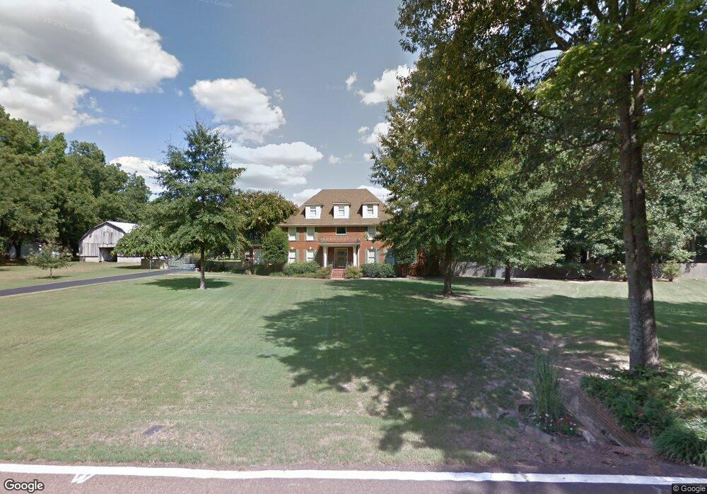
8940 Barret Rd Millington, TN 38053
Estimated Value: $574,000 - $628,000
5
Beds
5
Baths
4,416
Sq Ft
$137/Sq Ft
Est. Value
About This Home
This home is located at 8940 Barret Rd, Millington, TN 38053 and is currently estimated at $606,280, approximately $137 per square foot. 8940 Barret Rd is a home located in Shelby County with nearby schools including Millington Elementary School, Millington High School, and Tipton-Rosemark Academy.
Ownership History
Date
Name
Owned For
Owner Type
Purchase Details
Closed on
Apr 25, 2014
Sold by
Patriot Bank
Bought by
Richardson Lee Kirk and Richardson Emily
Current Estimated Value
Home Financials for this Owner
Home Financials are based on the most recent Mortgage that was taken out on this home.
Original Mortgage
$295,000
Interest Rate
4.43%
Mortgage Type
Future Advance Clause Open End Mortgage
Purchase Details
Closed on
Feb 25, 2005
Sold by
Myrd Mark A and Myrd Cathy D
Bought by
Patriot Bank
Create a Home Valuation Report for This Property
The Home Valuation Report is an in-depth analysis detailing your home's value as well as a comparison with similar homes in the area
Home Values in the Area
Average Home Value in this Area
Purchase History
| Date | Buyer | Sale Price | Title Company |
|---|---|---|---|
| Richardson Lee Kirk | $295,000 | None Available | |
| Patriot Bank | $275,000 | None Available |
Source: Public Records
Mortgage History
| Date | Status | Borrower | Loan Amount |
|---|---|---|---|
| Closed | Richardson Lee Kirk | $295,000 |
Source: Public Records
Tax History Compared to Growth
Tax History
| Year | Tax Paid | Tax Assessment Tax Assessment Total Assessment is a certain percentage of the fair market value that is determined by local assessors to be the total taxable value of land and additions on the property. | Land | Improvement |
|---|---|---|---|---|
| 2025 | $4,268 | $152,500 | $11,025 | $141,475 |
| 2024 | $4,268 | $125,900 | $10,025 | $115,875 |
| 2023 | $4,268 | $125,900 | $10,025 | $115,875 |
| 2022 | $4,268 | $125,900 | $10,025 | $115,875 |
| 2021 | $4,344 | $125,900 | $10,025 | $115,875 |
| 2020 | $3,379 | $83,425 | $10,025 | $73,400 |
| 2019 | $3,379 | $83,425 | $10,025 | $73,400 |
| 2018 | $3,104 | $76,650 | $10,025 | $66,625 |
| 2017 | $3,150 | $76,650 | $10,025 | $66,625 |
| 2016 | $3,037 | $69,500 | $0 | $0 |
| 2014 | $3,037 | $69,500 | $0 | $0 |
Source: Public Records
Map
Nearby Homes
- 8712 Gragg Rd
- 8624 Mudville Rd
- 8703 Rosemark Rd
- 8405 Sartori Dr
- 8665 Brunswick Rd
- 8371 McCalla Rd
- 8285 Brunswick Rd
- 8048 Rosemark Rd
- 8020 Rosemark Rd
- 8200 Brunswick Rd
- 0 McCalla Rd
- 8783 Deadfall Rd
- 8314 Millington Arlington Rd
- 8622 Millington Arlington Rd
- 9511 Tracy Rd
- 0 N Bolton Way Rd Unit 10186217
- 56 Madison Dr
- 135 Jaimes Ln
- 63 Kingston Ave
- 5387 Portersville Rd