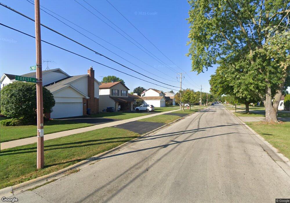
895 E Forest Ave Des Plaines, IL 60018
Estimated Value: $438,248 - $511,000
4
Beds
2
Baths
1,334
Sq Ft
$352/Sq Ft
Est. Value
About This Home
This home is located at 895 E Forest Ave, Des Plaines, IL 60018 and is currently estimated at $469,812, approximately $352 per square foot. 895 E Forest Ave is a home located in Cook County with nearby schools including Forest Elementary School, Algonquin Middle School, and Maine West High School.
Ownership History
Date
Name
Owned For
Owner Type
Purchase Details
Closed on
Dec 31, 2018
Sold by
Mathew Joseph Alvin and Mathew Beena Sara
Bought by
Mathew Joseph A and Mathew Rlt Rlt S
Current Estimated Value
Purchase Details
Closed on
Jan 30, 2012
Sold by
Robinson Ronald H and Robinson Susan L
Bought by
Mathew Joseph Alvin and Mathew Beena Sara
Home Financials for this Owner
Home Financials are based on the most recent Mortgage that was taken out on this home.
Original Mortgage
$224,000
Outstanding Balance
$151,667
Interest Rate
3.95%
Mortgage Type
New Conventional
Estimated Equity
$318,145
Purchase Details
Closed on
Oct 27, 2004
Sold by
Capetillo Jaime and Capetillo Bertha P
Bought by
Espinoza Raul and Espinoza Jesus
Home Financials for this Owner
Home Financials are based on the most recent Mortgage that was taken out on this home.
Original Mortgage
$330,000
Interest Rate
7.5%
Mortgage Type
Stand Alone First
Create a Home Valuation Report for This Property
The Home Valuation Report is an in-depth analysis detailing your home's value as well as a comparison with similar homes in the area
Home Values in the Area
Average Home Value in this Area
Purchase History
| Date | Buyer | Sale Price | Title Company |
|---|---|---|---|
| Mathew Joseph A | -- | Chicago Title Insurance | |
| Mathew Joseph Alvin | $280,000 | Cti | |
| Espinoza Raul | $330,000 | Lawyers Title Ins |
Source: Public Records
Mortgage History
| Date | Status | Borrower | Loan Amount |
|---|---|---|---|
| Open | Mathew Joseph Alvin | $224,000 | |
| Previous Owner | Espinoza Raul | $330,000 |
Source: Public Records
Tax History
| Year | Tax Paid | Tax Assessment Tax Assessment Total Assessment is a certain percentage of the fair market value that is determined by local assessors to be the total taxable value of land and additions on the property. | Land | Improvement |
|---|---|---|---|---|
| 2025 | $6,342 | $41,000 | $8,700 | $32,300 |
| 2024 | $6,342 | $29,074 | $7,250 | $21,824 |
| 2023 | $6,141 | $30,021 | $7,250 | $22,771 |
| 2022 | $6,141 | $30,021 | $7,250 | $22,771 |
| 2021 | $4,673 | $21,198 | $4,712 | $16,486 |
| 2020 | $4,718 | $21,198 | $4,712 | $16,486 |
| 2019 | $4,749 | $23,818 | $4,712 | $19,106 |
| 2018 | $5,685 | $22,443 | $4,168 | $18,275 |
| 2017 | $5,602 | $22,443 | $4,168 | $18,275 |
| 2016 | $5,702 | $23,017 | $4,168 | $18,849 |
| 2015 | $6,163 | $23,008 | $3,625 | $19,383 |
| 2014 | $6,864 | $25,762 | $3,625 | $22,137 |
| 2013 | $6,675 | $25,762 | $3,625 | $22,137 |
Source: Public Records
Map
Nearby Homes
- 1394 Carol Ln
- 815 E Oakton St Unit 311
- 664 E Oakton St
- 1080 Bogart St
- 1162 W Grant Dr
- 674 E Algonquin Rd
- 1205 S Wolf Rd
- 505 Forest Ave
- 1596 Oxford Rd
- 1122 Alfini Dr
- 1048 E Walnut Ave
- 980 W Grant Dr
- 614 Birchwood Ave
- 635 Birchwood Ave
- 1696 S Elm St
- 886 E Thacker St
- 1689 S Elm St
- 1445 Everett Ave
- 1645 Illinois St
- 1380 Oakwood Ave Unit 306
- 883 E Forest Ave
- 901 E Forest Ave
- 875 E Forest Ave
- 1416 Heather Ln
- 1410 Dennis Place
- 1412 Heather Ln
- 1395 Earl Ave
- 1424 Dennis Place
- 1420 Heather Ln
- 1394 Dennis Place
- 1401 S 4th Ave
- 1407 S 4th Ave
- 1389 Earl Ave
- 1411 S 4th Ave
- 1388 Dennis Place
- 1411 Dennis Place
- 1421 S 4th Ave
- 1430 Heather Ln
- 1425 Dennis Place
- 1383 Earl Ave
Your Personal Tour Guide
Ask me questions while you tour the home.