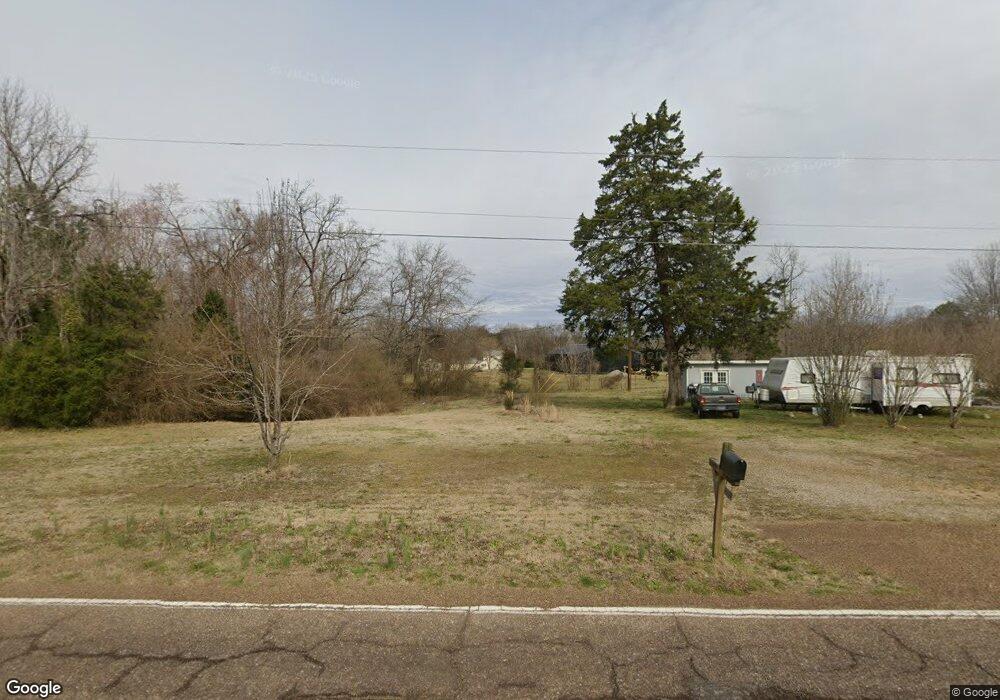
895 Highway 22 Shiloh, TN 38376
Estimated Value: $15,000 - $164,000
3
Beds
2
Baths
2,035
Sq Ft
$44/Sq Ft
Est. Value
About This Home
This home is located at 895 Highway 22, Shiloh, TN 38376 and is currently estimated at $89,500, approximately $43 per square foot. 895 Highway 22 is a home located in Hardin County with nearby schools including Hardin County High School.
Ownership History
Date
Name
Owned For
Owner Type
Purchase Details
Closed on
Jul 22, 2025
Sold by
Kane Bronson Zachary
Bought by
Eplin John and Eplin Kim
Current Estimated Value
Purchase Details
Closed on
Feb 15, 2024
Sold by
Beuhring Erich and Beuhring Sandra
Bought by
Bronson Dennis
Purchase Details
Closed on
Oct 27, 2015
Sold by
Ellis Brent
Bought by
Crane Properties Llc
Home Financials for this Owner
Home Financials are based on the most recent Mortgage that was taken out on this home.
Original Mortgage
$6,800
Interest Rate
3.89%
Mortgage Type
Commercial
Purchase Details
Closed on
Apr 20, 1990
Bought by
Mcafee Joey and Mcafee Barbara
Purchase Details
Closed on
Feb 24, 1976
Bought by
Johnson Elbert and Johnson Betty
Create a Home Valuation Report for This Property
The Home Valuation Report is an in-depth analysis detailing your home's value as well as a comparison with similar homes in the area
Home Values in the Area
Average Home Value in this Area
Purchase History
| Date | Buyer | Sale Price | Title Company |
|---|---|---|---|
| Eplin John | $2,000 | None Listed On Document | |
| Eplin John | $2,000 | None Listed On Document | |
| Bronson Dennis | -- | None Listed On Document | |
| Bronson Dennis | -- | None Listed On Document | |
| Crane Properties Llc | $8,000 | -- | |
| Mcafee Joey | $22,000 | -- | |
| Johnson Elbert | -- | -- |
Source: Public Records
Mortgage History
| Date | Status | Borrower | Loan Amount |
|---|---|---|---|
| Previous Owner | Crane Properties Llc | $6,800 |
Source: Public Records
Tax History Compared to Growth
Tax History
| Year | Tax Paid | Tax Assessment Tax Assessment Total Assessment is a certain percentage of the fair market value that is determined by local assessors to be the total taxable value of land and additions on the property. | Land | Improvement |
|---|---|---|---|---|
| 2024 | $21 | $1,175 | $1,175 | $0 |
| 2023 | $21 | $1,175 | $1,175 | $0 |
| 2022 | $24 | $1,175 | $1,175 | $0 |
| 2021 | $24 | $1,175 | $1,175 | $0 |
| 2020 | $24 | $1,175 | $1,175 | $0 |
| 2019 | $24 | $1,175 | $1,175 | $0 |
| 2018 | $89 | $15,200 | $1,880 | $13,320 |
| 2017 | $295 | $14,160 | $1,880 | $12,280 |
| 2016 | $295 | $14,160 | $1,880 | $12,280 |
| 2015 | $258 | $14,160 | $1,880 | $12,280 |
| 2014 | $312 | $17,160 | $1,880 | $15,280 |
Source: Public Records
Map
Nearby Homes
- 00 Tennessee 142
- 0 Tennessee 142
- 0 Fisher Ln
- 00 Fisher Ln
- 11200 Highway 142
- 1293 Tennessee 22
- 185 Baxter Rd
- 0 Baxter Rd
- 410 Gladden Rd
- 10135 142 Hwy
- 11200 Highway 142
- 455 Bark Dr
- 30 Federal Rd
- 230 Silver Water Ln
- 255 Rock Pile Ln
- 359 Cemetery Rd
- 75 Hayden Dr
- 330 Lick Creek Rd
- LT 138 Bandit Way
- 1035 Hill Dr