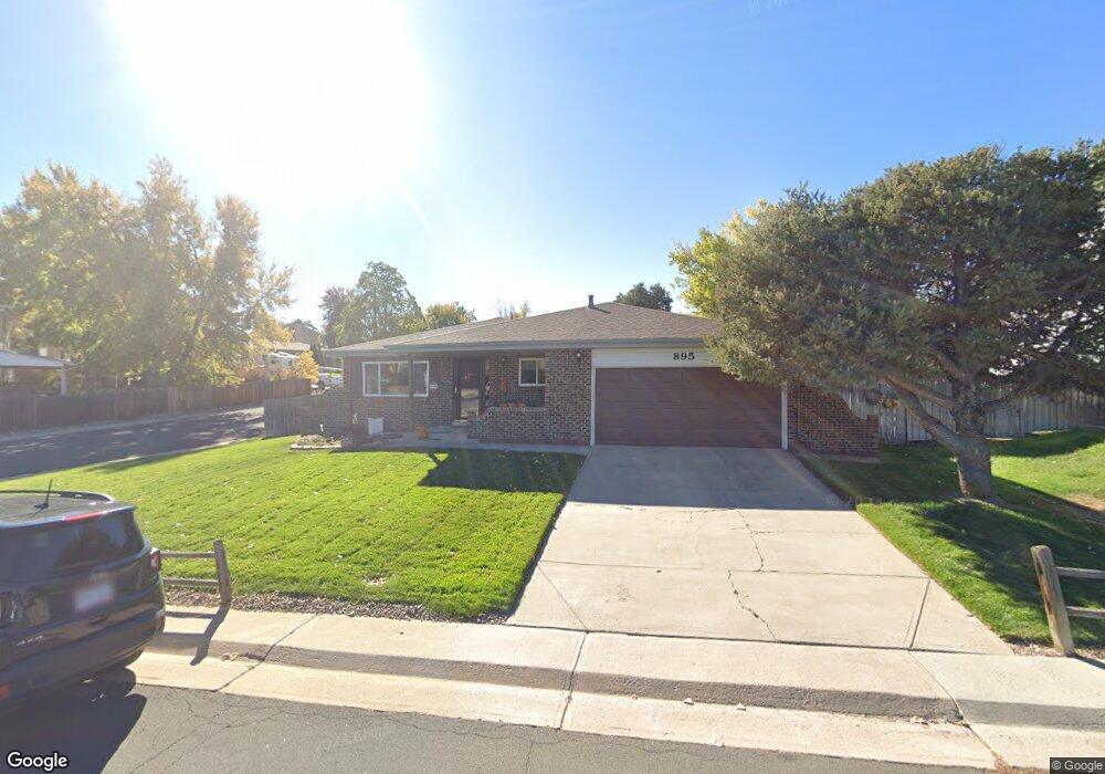
895 Mercury Cir Lone Tree, CO 80124
Estimated Value: $550,000 - $577,974
3
Beds
2
Baths
1,505
Sq Ft
$375/Sq Ft
Est. Value
About This Home
This home is located at 895 Mercury Cir, Lone Tree, CO 80124 and is currently estimated at $563,987, approximately $374 per square foot. 895 Mercury Cir is a home located in Douglas County with nearby schools including Acres Green Elementary School, Cresthill Middle School, and Highlands Ranch High School.
Ownership History
Date
Name
Owned For
Owner Type
Purchase Details
Closed on
Oct 28, 2004
Sold by
Figy Donald W and Figy Judith A
Bought by
Nielsen Nola and Nielsen Donald
Current Estimated Value
Home Financials for this Owner
Home Financials are based on the most recent Mortgage that was taken out on this home.
Original Mortgage
$110,000
Interest Rate
5.73%
Mortgage Type
Credit Line Revolving
Purchase Details
Closed on
Jan 25, 1985
Sold by
Henry Gary C and Henry Mary J
Bought by
Figy Donald W and Figy Judith A
Purchase Details
Closed on
Jul 7, 1980
Sold by
Unavailable
Bought by
Unavailable
Create a Home Valuation Report for This Property
The Home Valuation Report is an in-depth analysis detailing your home's value as well as a comparison with similar homes in the area
Home Values in the Area
Average Home Value in this Area
Purchase History
| Date | Buyer | Sale Price | Title Company |
|---|---|---|---|
| Nielsen Nola | $232,000 | -- | |
| Figy Donald W | $95,000 | -- | |
| Unavailable | $65,100 | -- |
Source: Public Records
Mortgage History
| Date | Status | Borrower | Loan Amount |
|---|---|---|---|
| Closed | Nielsen Nola | $110,000 |
Source: Public Records
Tax History Compared to Growth
Tax History
| Year | Tax Paid | Tax Assessment Tax Assessment Total Assessment is a certain percentage of the fair market value that is determined by local assessors to be the total taxable value of land and additions on the property. | Land | Improvement |
|---|---|---|---|---|
| 2024 | $2,705 | $39,850 | $7,950 | $31,900 |
| 2023 | $2,732 | $39,850 | $7,950 | $31,900 |
| 2022 | $1,955 | $28,910 | $6,750 | $22,160 |
| 2021 | $2,034 | $28,910 | $6,750 | $22,160 |
| 2020 | $1,817 | $27,250 | $6,440 | $20,810 |
| 2019 | $1,823 | $27,250 | $6,440 | $20,810 |
| 2018 | $1,353 | $23,180 | $5,610 | $17,570 |
| 2017 | $1,375 | $23,180 | $5,610 | $17,570 |
| 2016 | $1,091 | $20,380 | $3,990 | $16,390 |
| 2015 | $1,831 | $20,380 | $3,990 | $16,390 |
| 2014 | $1,711 | $17,830 | $3,980 | $13,850 |
Source: Public Records
Map
Nearby Homes
- 7057 Chestnut Hill St
- 789 Hamal Dr
- 979 Mercury Cir
- 7041 Chestnut Hill Trail
- 202 Helena Cir
- 13134 Deneb Dr
- 9275 Erminedale Dr
- 13678 Omega Cir
- 7971 Arrowhead Ct
- 426 Jupiter Dr
- 7107 Mountain Brush Cir
- 8049 Sweet Water Rd
- 7804 Silverweed Way
- 7151 Palisade Dr
- 8159 Lodgepole Trail
- 6482 Silver Mesa Dr Unit B
- 6395 Nassau Ct
- 336 Aquarius Ct
- 9416 Kemper Dr
- 6550 Ashburn Ln
- 889 Mercury Cir
- 13295 Peacock Dr
- 899 Mercury Cir
- 885 Mercury Cir
- 879 Mercury Cir
- 13285 Peacock Dr
- 13286 Peacock Dr
- 905 Mercury Cir
- 13358 Peacock Dr
- 875 Mercury Cir
- 13275 Peacock Dr
- 13378 Peacock Dr
- 869 Mercury Cir
- 904 Mercury Cir
- 909 Mercury Cir
- 888 Mercury Cir
- 884 Mercury Cir
- 13266 Peacock Dr
- 908 Mercury Cir
- 13265 Peacock Dr