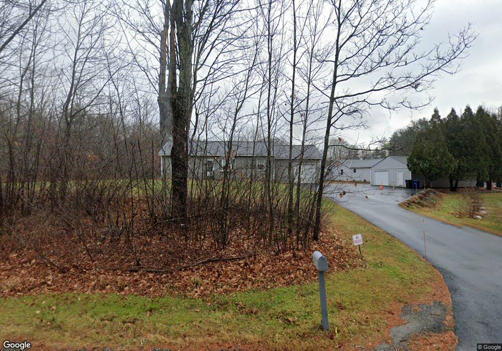
895 Methodist Rd Westbrook, ME 04092
Estimated Value: $540,000 - $1,026,000
2
Beds
1
Bath
--
Sq Ft
500,940
Sq Ft Lot
About This Home
This home is located at 895 Methodist Rd, Westbrook, ME 04092 and is currently estimated at $780,629. 895 Methodist Rd is a home located in Cumberland County with nearby schools including Westbrook High School.
Ownership History
Date
Name
Owned For
Owner Type
Purchase Details
Closed on
Mar 6, 2013
Sold by
Pat Llc
Bought by
Charette James J and Charette Patricia R
Current Estimated Value
Purchase Details
Closed on
Mar 18, 2008
Sold by
Midgley Stephen G
Bought by
Midgley Stephen G and Midgley Sarah P
Home Financials for this Owner
Home Financials are based on the most recent Mortgage that was taken out on this home.
Original Mortgage
$215,000
Interest Rate
5.72%
Mortgage Type
Purchase Money Mortgage
Create a Home Valuation Report for This Property
The Home Valuation Report is an in-depth analysis detailing your home's value as well as a comparison with similar homes in the area
Purchase History
| Date | Buyer | Sale Price | Title Company |
|---|---|---|---|
| Charette James J | -- | -- | |
| Pat Llc | -- | -- | |
| Midgley Stephen G | -- | -- |
Source: Public Records
Mortgage History
| Date | Status | Borrower | Loan Amount |
|---|---|---|---|
| Previous Owner | Midgley Stephen G | $215,000 |
Source: Public Records
Tax History
| Year | Tax Paid | Tax Assessment Tax Assessment Total Assessment is a certain percentage of the fair market value that is determined by local assessors to be the total taxable value of land and additions on the property. | Land | Improvement |
|---|---|---|---|---|
| 2023 | $10,488 | $628,800 | $151,700 | $477,100 |
| 2022 | $9,512 | $525,500 | $126,600 | $398,900 |
| 2021 | $9,370 | $525,500 | $126,600 | $398,900 |
| 2020 | $469 | $525,500 | $126,600 | $398,900 |
| 2019 | $9,385 | $525,500 | $126,600 | $398,900 |
| 2018 | $8,954 | $448,800 | $110,200 | $338,600 |
| 2017 | $8,473 | $448,800 | $110,200 | $338,600 |
| 2016 | $8,258 | $448,800 | $110,200 | $338,600 |
| 2015 | $8,060 | $448,800 | $110,200 | $338,600 |
| 2014 | $7,398 | $430,100 | $110,200 | $319,900 |
| 2013 | $6,381 | $371,000 | $110,200 | $260,800 |
Source: Public Records
Map
Nearby Homes
- 680 Methodist Rd
- 89 Duck Pond Rd
- 214 Duck Pond Rd
- 65 Batchelder Rd
- 169 Brook St
- 171 Brook St Unit 49
- 171 Brook St Unit 44
- 171 Brook St Unit 50
- 171 Brook St Unit 3
- 171 Brook St Unit 52
- 171 Brook St Unit 41
- 171 Brook St Unit 47
- 171 Brook St Unit 54
- 171 Brook St Unit 53
- 171 Brook St Unit 42
- 171 Brook St Unit 43
- 171 Brook St Unit 45
- 171 Brook St Unit 51
- 171 Brook St Unit 60
- 375 Pride St Unit 38
- 874 Methodist Rd
- 863 Methodist Rd
- 927 Methodist Rd
- 910 Methodist Rd
- 864 Methodist Rd
- 857 Methodist Rd
- 955 Methodist Rd
- 854 Methodist Rd
- 847 Methodist Rd
- 983 Methodist Rd
- 30 Allen Knight Rd
- 1007 Methodist Rd
- lot 3 Alan Knight Rd
- 802 Methodist Rd
- 789 Methodist Rd
- 35 Allen Knight Rd
- 800 Methodist Rd
- 777 Methodist Rd
- 1020 Methodist Rd
- 1035 Methodist Rd
Your Personal Tour Guide
Ask me questions while you tour the home.