895 Norris Rd Clarkrange, TN 38553
Estimated Value: $229,468 - $356,000
About This Home
This home is located at 895 Norris Rd, Clarkrange, TN 38553 and is currently estimated at $294,117, approximately $196 per square foot. 895 Norris Rd is a home located in Fentress County.
Ownership History
We collect this data history from publicly available records. To have your information removed, we recommend requesting removal directly through your county’s website.
Purchase Details
Home Financials for this Owner
Home Financials are based on the most recent Mortgage that was taken out on this home.Purchase History
We collect this data history from publicly available records. To have your information removed, we recommend requesting removal directly through your county’s website.
| Date | Buyer | Sale Price | Title Company |
|---|---|---|---|
| $135,000 | -- |
Mortgage History
We collect this data history from publicly available records. To have your information removed, we recommend requesting removal directly through your county’s website.
| Date | Status | Borrower | Loan Amount |
|---|---|---|---|
| Open | $137,650 |
Tax History
We collect this data history from publicly available records. To have your information removed, we recommend requesting removal directly through your county’s website.
| Year | Tax Paid | Tax Assessment Tax Assessment Total Assessment is a certain percentage of the fair market value that is determined by local assessors to be the total taxable value of land and additions on the property. | Land | Improvement |
|---|---|---|---|---|
| 2025 | $550 | $40,775 | $7,350 | $33,425 |
| 2024 | $550 | $40,775 | $7,350 | $33,425 |
| 2023 | $550 | $40,775 | $7,350 | $33,425 |
| 2022 | $466 | $24,375 | $5,750 | $18,625 |
| 2021 | $466 | $24,375 | $5,750 | $18,625 |
| 2020 | $466 | $24,375 | $5,750 | $18,625 |
| 2019 | $466 | $24,375 | $5,750 | $18,625 |
| 2018 | $466 | $24,375 | $5,750 | $18,625 |
| 2017 | $446 | $22,475 | $3,700 | $18,775 |
| 2016 | $446 | $22,475 | $3,700 | $18,775 |
| 2015 | $446 | $22,473 | $0 | $0 |
| 2014 | $446 | $22,473 | $0 | $0 |
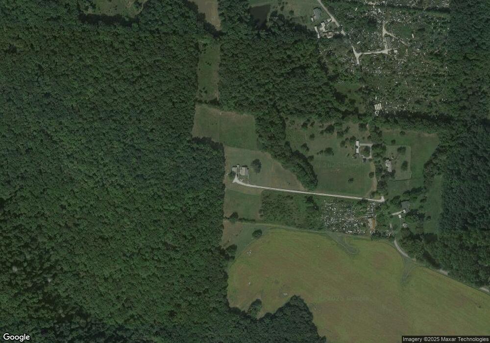
Map
- 2570 Martha Washington Rd
- 0 Coal Ln Unit Tract A
- 0 Coal Ln Unit Tract B
- 0 Coal Ln Unit Tract 2
- 0 Coal Ln Unit Tract 1
- 0 Coal Ln Unit Tract 4
- 0 Coal Ln Unit Tract C
- 0 Coal Ln Unit Tract 3
- 329 B Armstrong Ln
- 0 Old Martha Washington Rd
- 20.78 ac B Armstrong Ln
- 6604 S York Hwy
- 1188 Clarkrange Monterey Hwy
- 106 MacA Ridge Cir
- 1070 N Shady Lane Loop
- 35309 Highland Ridge Tr
- 35309 Highland Ridge Tr Unit 107
- 35309 Highland Ridge Trail
- 1079 South Ln
- 247 Hayden Ln
- 891 Norris Rd
- 957 Norris Rd
- 977 Norris Rd
- 840 Norris Rd
- Ernest Norris Rd
- 2920 Martha Washington Rd
- 2905 Martha Washington Rd
- 2956 Martha Washington Rd
- 2922 Martha Washington Rd
- 299 Stepp Rd
- 45 Acres Stepp Rd
- 155 Stepp Rd
- 0 W O Martha Washington Rd
- 2831 Martha Washington Rd
- 45 ACRES Stepp Rd
- 100 Stepp Rd
- 2801 Martha Washington Rd
- 2960 Martha Washington Rd
- 3058 Martha Washington Rd
- 2795 Martha Washington Rd
Ask me questions while you tour the home.