895 Swigart Rd Barberton, OH 44203
Estimated Value: $309,000 - $849,195
3
Beds
4
Baths
1,879
Sq Ft
$342/Sq Ft
Est. Value
About This Home
This home is located at 895 Swigart Rd, Barberton, OH 44203 and is currently estimated at $642,799, approximately $342 per square foot. 895 Swigart Rd is a home located in Summit County with nearby schools including Nolley Elementary School, Manchester Middle School, and Manchester High School.
Ownership History
Date
Name
Owned For
Owner Type
Purchase Details
Closed on
Aug 25, 2022
Sold by
2703Lmb Llc
Bought by
Robert C Chordar Trust and Susan Allen Trust
Current Estimated Value
Purchase Details
Closed on
May 16, 2022
Sold by
May Sheets and May Georgia
Bought by
2703Lmb Llc
Purchase Details
Closed on
Jan 23, 2003
Sold by
Sheets Georgia May
Bought by
Sheets Glen and Sheets Georgia May
Create a Home Valuation Report for This Property
The Home Valuation Report is an in-depth analysis detailing your home's value as well as a comparison with similar homes in the area
Home Values in the Area
Average Home Value in this Area
Purchase History
| Date | Buyer | Sale Price | Title Company |
|---|---|---|---|
| Robert C Chordar Trust | $750,000 | Titleco Title Agency | |
| 2703Lmb Llc | $500,000 | None Listed On Document | |
| 2703Lmb Llc | $500,000 | None Listed On Document | |
| Sheets Glen | -- | -- |
Source: Public Records
Tax History Compared to Growth
Tax History
| Year | Tax Paid | Tax Assessment Tax Assessment Total Assessment is a certain percentage of the fair market value that is determined by local assessors to be the total taxable value of land and additions on the property. | Land | Improvement |
|---|---|---|---|---|
| 2025 | $8,618 | $191,793 | $58,695 | $133,098 |
| 2024 | $8,618 | $191,793 | $58,695 | $133,098 |
| 2023 | $8,618 | $169,218 | $58,695 | $110,523 |
| 2022 | $6,694 | $113,337 | $39,130 | $74,207 |
| 2021 | $6,718 | $113,337 | $39,130 | $74,207 |
| 2020 | $6,601 | $113,340 | $39,130 | $74,210 |
| 2019 | $7,729 | $118,500 | $39,130 | $79,370 |
| 2018 | $6,666 | $118,500 | $39,130 | $79,370 |
| 2017 | $6,572 | $118,500 | $39,130 | $79,370 |
| 2016 | $6,242 | $102,970 | $39,130 | $63,840 |
| 2015 | $6,572 | $106,790 | $39,130 | $67,660 |
| 2014 | $6,522 | $106,790 | $39,130 | $67,660 |
| 2013 | $6,180 | $102,320 | $39,130 | $63,190 |
Source: Public Records
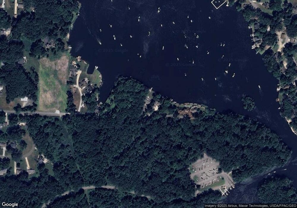
Map
Nearby Homes
- 4973 Patricia Dr
- 0 W Turkeyfoot Lake Rd Unit 5157637
- 547 Kruger Ave
- 4216 State Rd
- 1343 Vermillion Dr
- 538 Melcher Ave
- 4131 State Park Dr
- 1365 Vanderhoof Rd
- 410 Silk Ct
- 4119 Melton Ave
- 4944 Coleman Dr
- 4869 Coleman Dr
- 4393 Hilltop Dr
- 4034 Manchester Rd
- lot 8 Whyem Dr
- 715 Jolson Ave
- 855 Fowler Ave
- 4751 Bickford Ave
- 3826 Powell Ave
- 3834 N Glenridge Rd