8950 Independence Ct Faribault, MN 55021
Estimated Value: $750,723 - $880,000
5
Beds
4
Baths
2,356
Sq Ft
$343/Sq Ft
Est. Value
About This Home
This home is located at 8950 Independence Ct, Faribault, MN 55021 and is currently estimated at $808,431, approximately $343 per square foot. 8950 Independence Ct is a home located in Rice County with nearby schools including Lincoln Elementary School, Faribault Middle School, and Faribault Senior High School.
Ownership History
Date
Name
Owned For
Owner Type
Purchase Details
Closed on
Jun 14, 2016
Sold by
Caron Troy V and Caron Carol J
Bought by
Knish Steven
Current Estimated Value
Purchase Details
Closed on
Oct 28, 2011
Sold by
Valentyn Jerome E
Bought by
Caron Troy and Caron Carol J
Home Financials for this Owner
Home Financials are based on the most recent Mortgage that was taken out on this home.
Original Mortgage
$416,000
Interest Rate
4.02%
Mortgage Type
New Conventional
Create a Home Valuation Report for This Property
The Home Valuation Report is an in-depth analysis detailing your home's value as well as a comparison with similar homes in the area
Purchase History
| Date | Buyer | Sale Price | Title Company |
|---|---|---|---|
| Knish Steven | $430,000 | Attorney | |
| Caron Troy | $460,000 | -- |
Source: Public Records
Mortgage History
| Date | Status | Borrower | Loan Amount |
|---|---|---|---|
| Previous Owner | Caron Troy | $416,000 |
Source: Public Records
Tax History
| Year | Tax Paid | Tax Assessment Tax Assessment Total Assessment is a certain percentage of the fair market value that is determined by local assessors to be the total taxable value of land and additions on the property. | Land | Improvement |
|---|---|---|---|---|
| 2025 | $6,360 | $781,000 | $161,000 | $620,000 |
| 2024 | $6,360 | $694,200 | $145,000 | $549,200 |
| 2023 | $5,056 | $694,200 | $145,000 | $549,200 |
| 2022 | $4,420 | $606,900 | $108,000 | $498,900 |
| 2021 | $3,874 | $511,200 | $98,400 | $412,800 |
| 2020 | $3,742 | $445,700 | $98,400 | $347,300 |
| 2019 | $3,670 | $442,600 | $98,400 | $344,200 |
| 2018 | $3,564 | $435,500 | $98,400 | $337,100 |
| 2017 | $3,726 | $413,500 | $98,400 | $315,100 |
| 2016 | $3,756 | $402,500 | $132,300 | $270,200 |
| 2015 | $3,614 | $396,500 | $132,300 | $264,200 |
| 2014 | -- | $396,500 | $132,300 | $264,200 |
Source: Public Records
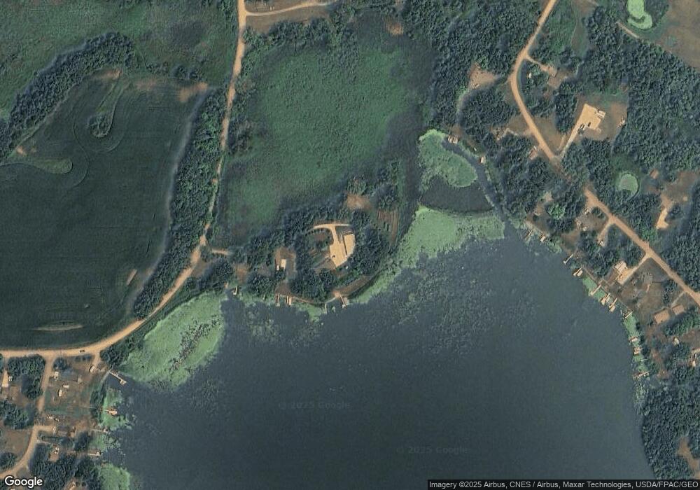
Map
Nearby Homes
- TBD Ivanhoe Ct
- 20355 Cedar Lake Trail
- 8325 Hennepin Way
- 8323 Hamel Way
- 17791 Holt Ct
- L1 B2 Fortune Creek Ct
- XXX Fortune Creek Trail
- 10099 160th St W
- TBD Lake Ave
- 14xxx Camp Winona Trail
- 15XXX Camp Winona Trail
- 15494 Camp Winona Trail
- 17001 Elmore Ave
- 16930 Elmore Trail
- 12782 218th St W
- 23231 Farwell Ave
- 6255 232nd St W
- 17669 177th St W
- 4820 Echo Ct
- 5755 232nd St W
- 8978 Independence Ct
- 8988 Independence Ct
- 8998 Independence Ct
- 8998 Independence Ct
- 19270 Holt Trail
- 19294 Holt Trail
- 19286 Holt Trail
- 19310 Holt Trail
- 19318 Holt Trail
- 19500 Ivanhoe Ct
- 19330 Holt Trail
- 19525 Ivanhoe Ct
- 8965 Ivanhoe Trail
- 8955 Ivanhoe Trail
- 19340 Holt Trail
- 19545 Ivanhoe Ct
- 19265 Holt Trail
- 19350 Holt Trail
- 19535 Ivanhoe Ct
- 19555 Ivanhoe Ct
Your Personal Tour Guide
Ask me questions while you tour the home.