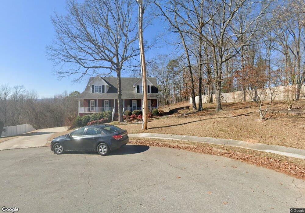
8951 Brookhill Dr Hixson, TN 37343
Estimated Value: $437,086 - $495,000
4
Beds
3
Baths
2,121
Sq Ft
$222/Sq Ft
Est. Value
About This Home
This home is located at 8951 Brookhill Dr, Hixson, TN 37343 and is currently estimated at $470,522, approximately $221 per square foot. 8951 Brookhill Dr is a home located in Hamilton County with nearby schools including New South Daisy Christian Academy.
Ownership History
Date
Name
Owned For
Owner Type
Purchase Details
Closed on
May 3, 2004
Sold by
Luttrell George W
Bought by
Phillips Gregory B and Phillips Deirdre M
Current Estimated Value
Purchase Details
Closed on
Sep 12, 2003
Sold by
Luttrell George W
Bought by
Phillips Gregory B and Phillips Deirdre M
Home Financials for this Owner
Home Financials are based on the most recent Mortgage that was taken out on this home.
Original Mortgage
$157,120
Interest Rate
6.33%
Mortgage Type
Unknown
Create a Home Valuation Report for This Property
The Home Valuation Report is an in-depth analysis detailing your home's value as well as a comparison with similar homes in the area
Home Values in the Area
Average Home Value in this Area
Purchase History
| Date | Buyer | Sale Price | Title Company |
|---|---|---|---|
| Phillips Gregory B | -- | -- | |
| Phillips Gregory B | $196,630 | Century Title & Escrow Inc |
Source: Public Records
Mortgage History
| Date | Status | Borrower | Loan Amount |
|---|---|---|---|
| Previous Owner | Phillips Gregory B | $157,120 |
Source: Public Records
Tax History Compared to Growth
Tax History
| Year | Tax Paid | Tax Assessment Tax Assessment Total Assessment is a certain percentage of the fair market value that is determined by local assessors to be the total taxable value of land and additions on the property. | Land | Improvement |
|---|---|---|---|---|
| 2024 | $1,588 | $71,000 | $0 | $0 |
| 2023 | $2,390 | $71,000 | $0 | $0 |
| 2022 | $2,390 | $71,000 | $0 | $0 |
| 2021 | $2,390 | $71,000 | $0 | $0 |
| 2020 | $2,638 | $63,850 | $0 | $0 |
| 2019 | $2,638 | $63,850 | $0 | $0 |
| 2018 | $2,638 | $63,850 | $0 | $0 |
| 2017 | $2,638 | $63,850 | $0 | $0 |
| 2016 | $2,285 | $0 | $0 | $0 |
| 2015 | $2,285 | $55,275 | $0 | $0 |
| 2014 | $2,285 | $0 | $0 | $0 |
Source: Public Records
Map
Nearby Homes
- 8942 Brookhill Dr
- 8928 Brookhill Dr
- 8805 Shady Wood Ln
- 8929 Wings Way
- 8834 Gann Rd
- 914 Hickory Ave
- 1440 Bowman Rd
- 8434 W Crabtree Rd
- 9080 Wood Dale Ln
- 470 Sevier St
- 9443 Harris St
- 8509 Fair Oaks Rd
- 1007 Central Dr
- 1013 Kenny Way
- 413 Ashley Dr
- 9111 Beranke Ln
- 132 Meadowview Ln
- 8549 Demars Ln
- 670 Charbell St
- 9378 Chirping Rd
- 8948 Brookhill Dr
- 8949 Brookhill Dr
- 8944 Brookhill Dr
- 8933 Brookhill Dr
- 8923 Daisy Dallas Rd
- 8929 Brookhill Dr
- 8947 Brookhill Dr
- 8925 Brookhill Dr
- 8921 Brookhill Dr
- 8940 Brookhill Dr
- 8917 Brookhill Dr
- 8936 Brookhill Dr
- 8932 Brookhill Dr
- 8934 Brookhill Dr
- 8924 Brookhill Dr
- 8913 Brookhill Dr
- 8920 Brookhill Dr
- 8904 Brookhill Dr
- 8911 Brookhill Dr
- 8910 Brookhill Dr