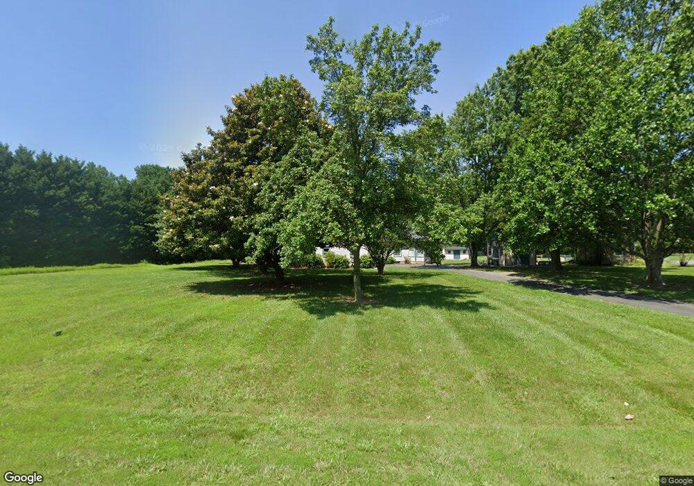
8955 Orchard Dr Chestertown, MD 21620
Estimated Value: $554,798 - $635,000
--
Bed
4
Baths
3,283
Sq Ft
$180/Sq Ft
Est. Value
About This Home
This home is located at 8955 Orchard Dr, Chestertown, MD 21620 and is currently estimated at $590,200, approximately $179 per square foot. 8955 Orchard Dr is a home located in Kent County with nearby schools including Center for Innovation, Kent County Middle School, and Kent County High School.
Ownership History
Date
Name
Owned For
Owner Type
Purchase Details
Closed on
Nov 3, 2011
Sold by
Austin Christine Maas and Maas Christine Persik
Bought by
Austin Christine Maas
Current Estimated Value
Home Financials for this Owner
Home Financials are based on the most recent Mortgage that was taken out on this home.
Original Mortgage
$286,000
Outstanding Balance
$112,972
Interest Rate
3.92%
Mortgage Type
New Conventional
Estimated Equity
$477,228
Purchase Details
Closed on
Oct 12, 2004
Sold by
Maas Peter and Maas Christine P
Bought by
Maas Christine Persik
Purchase Details
Closed on
Mar 16, 1990
Sold by
Chester River Group One
Bought by
Maas Peter and Maas Christine P
Home Financials for this Owner
Home Financials are based on the most recent Mortgage that was taken out on this home.
Original Mortgage
$160,000
Interest Rate
10.34%
Create a Home Valuation Report for This Property
The Home Valuation Report is an in-depth analysis detailing your home's value as well as a comparison with similar homes in the area
Home Values in the Area
Average Home Value in this Area
Purchase History
| Date | Buyer | Sale Price | Title Company |
|---|---|---|---|
| Austin Christine Maas | -- | None Available | |
| Maas Christine Persik | -- | -- | |
| Maas Peter | $39,500 | -- |
Source: Public Records
Mortgage History
| Date | Status | Borrower | Loan Amount |
|---|---|---|---|
| Open | Austin Christine Maas | $286,000 | |
| Previous Owner | Maas Peter | $160,000 |
Source: Public Records
Tax History Compared to Growth
Tax History
| Year | Tax Paid | Tax Assessment Tax Assessment Total Assessment is a certain percentage of the fair market value that is determined by local assessors to be the total taxable value of land and additions on the property. | Land | Improvement |
|---|---|---|---|---|
| 2025 | $4,196 | $364,700 | $113,600 | $251,100 |
| 2024 | $3,976 | $345,367 | $0 | $0 |
| 2023 | $3,757 | $326,033 | $0 | $0 |
| 2022 | $3,507 | $306,700 | $113,600 | $193,100 |
| 2021 | $3,538 | $306,700 | $113,600 | $193,100 |
| 2020 | $3,538 | $306,700 | $113,600 | $193,100 |
| 2019 | $3,540 | $306,900 | $113,600 | $193,300 |
| 2018 | $3,501 | $303,400 | $0 | $0 |
| 2017 | $3,461 | $299,900 | $0 | $0 |
| 2016 | -- | $296,400 | $0 | $0 |
| 2015 | $3,725 | $296,400 | $0 | $0 |
| 2014 | $3,725 | $296,400 | $0 | $0 |
Source: Public Records
Map
Nearby Homes
- Lot 9 Prestwick Dr
- 100 Adela Way
- 110 Trafford Dr
- 318 Lincoln Dr
- 116 Harlan Loop
- 311 Devon Dr
- 251 Devon Dr
- 24543 Chestertown Rd
- 0 Cromwell Clark Rd
- 107 Malone Ave
- 141 Prospect St
- 611 Cannon St
- 423 Calvert St
- 109 S College Ave
- 2 Scheeler Rd
- 234 N College Ave
- 517 High St
- 222 Mount Vernon Ave
- 349 High St
- 349 & 351 High St
- 8959 Orchard Dr
- 8958 Orchard Dr
- 8962 Orchard Dr
- 8947 Orchard Dr
- 8963 Orchard Dr
- 8954 Orchard Dr
- 8966 Orchard Dr
- 8943 Orchard Dr
- 8800 Orchard Dr
- 8770 Orchard Dr
- 8967 Orchard Dr
- 8950 Orchard Dr
- 8826 Orchard Dr
- 8970 Orchard Dr
- 8939 Orchard Dr
- 8858 Orchard Dr
- 8971 Orchard Dr
- 8778 Orchard Dr
- 8785 Orchard Dr
- 8930 Orchard Dr