Estimated Value: $380,000 - $469,000
4
Beds
3
Baths
1,662
Sq Ft
$250/Sq Ft
Est. Value
About This Home
This home is located at 8964 Highway 10 NW, Anoka, MN 55303 and is currently estimated at $415,691, approximately $250 per square foot. 8964 Highway 10 NW is a home located in Anoka County with nearby schools including Franklin Elementary School, Anoka Middle School for the Arts - Fred Moor Campus, and Anoka Senior High School.
Ownership History
Date
Name
Owned For
Owner Type
Purchase Details
Closed on
Jun 4, 2020
Sold by
Rettke Blair T and Rettke Jennifer
Bought by
Fox Joseph Earl
Current Estimated Value
Home Financials for this Owner
Home Financials are based on the most recent Mortgage that was taken out on this home.
Original Mortgage
$265,109
Outstanding Balance
$234,999
Interest Rate
3.2%
Mortgage Type
FHA
Estimated Equity
$180,692
Purchase Details
Closed on
Nov 18, 2019
Sold by
Rettke Bair Tobias and Rettke Jennifer Lee
Bought by
Rettke Blair Tobias and Rettke Jennifer Lee
Purchase Details
Closed on
Dec 29, 2011
Sold by
Fritch Shelley K and Fritch Gordon F
Bought by
Rettke Blair T
Home Financials for this Owner
Home Financials are based on the most recent Mortgage that was taken out on this home.
Original Mortgage
$160,817
Interest Rate
3.97%
Mortgage Type
FHA
Create a Home Valuation Report for This Property
The Home Valuation Report is an in-depth analysis detailing your home's value as well as a comparison with similar homes in the area
Home Values in the Area
Average Home Value in this Area
Purchase History
| Date | Buyer | Sale Price | Title Company |
|---|---|---|---|
| Fox Joseph Earl | $270,000 | Land Title Inc | |
| Rettke Blair Tobias | -- | First American Title Ins Co | |
| Rettke Blair T | $165,000 | -- |
Source: Public Records
Mortgage History
| Date | Status | Borrower | Loan Amount |
|---|---|---|---|
| Open | Fox Joseph Earl | $265,109 | |
| Previous Owner | Rettke Blair T | $160,817 |
Source: Public Records
Tax History Compared to Growth
Tax History
| Year | Tax Paid | Tax Assessment Tax Assessment Total Assessment is a certain percentage of the fair market value that is determined by local assessors to be the total taxable value of land and additions on the property. | Land | Improvement |
|---|---|---|---|---|
| 2025 | $4,106 | $337,800 | $89,500 | $248,300 |
| 2024 | $4,106 | $344,900 | $93,900 | $251,000 |
| 2023 | $3,651 | $347,200 | $81,500 | $265,700 |
| 2022 | $3,313 | $351,100 | $71,800 | $279,300 |
| 2021 | $2,947 | $286,000 | $61,500 | $224,500 |
| 2020 | $3,099 | $265,000 | $54,500 | $210,500 |
| 2019 | $2,781 | $257,600 | $47,300 | $210,300 |
| 2018 | $2,516 | $231,300 | $0 | $0 |
| 2017 | $2,290 | $206,900 | $0 | $0 |
| 2016 | $2,336 | $192,900 | $0 | $0 |
| 2015 | $2,232 | $192,900 | $46,400 | $146,500 |
| 2014 | -- | $169,200 | $40,800 | $128,400 |
Source: Public Records
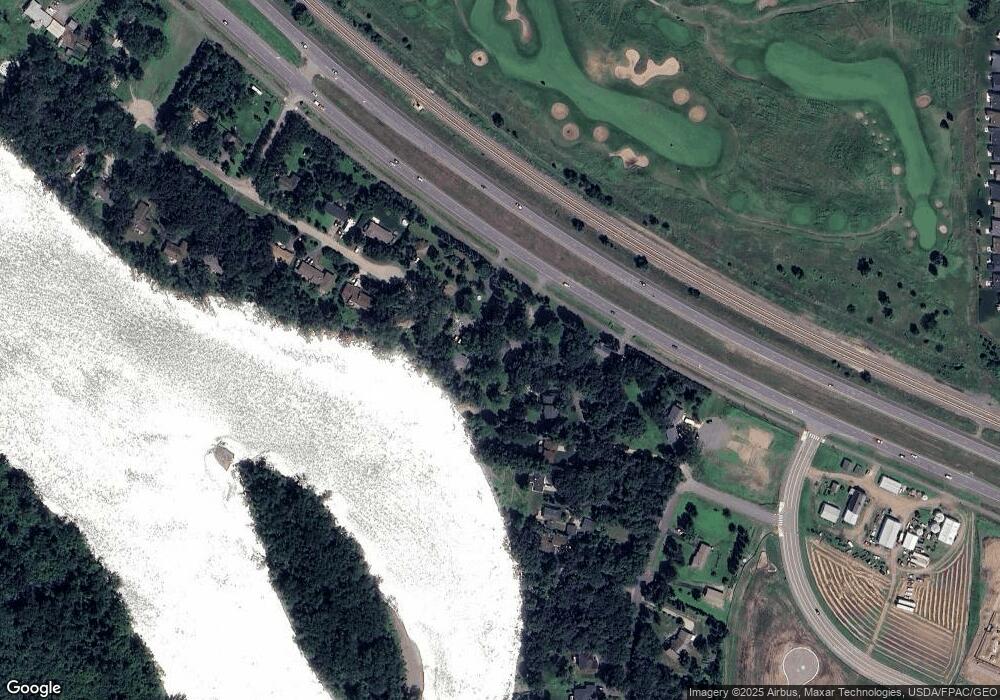
Map
Nearby Homes
- 14648 Pearson St NW
- 8642 149th Ct NW
- 8630 149th Ct NW
- The Ashton Plan at Riverstone South - Single Family
- The Primrose (2-Car) Plan at Riverstone South - Single Family
- The Brook View Plan at Riverstone South - Single Family
- The Waverly Plan at Riverstone South - Single Family
- The Mulberry Plan at Riverstone South - Single Family
- The Cheyenne Plan at Riverstone South - Single Family
- The Newport II Plan at Riverstone South - Single Family
- The Water Stone Plan at Riverstone South - Single Family
- The Baxter Plan at Riverstone South - Single Family
- The Rockport (2-Car) Plan at Riverstone South - Single Family
- 14637 Pearson St NW
- 8631 147th Ave NW
- 8643 147th Ave NW
- 8637 147th Ave NW
- 8726 147th Ave NW
- 144xx Bowers Dr NW
- 8612 147th Ave
- 9002 Highway 10 NW
- 14830 Bowers Dr NW
- 9016 Collins Dr NW
- 8940 Highway 10 NW
- 14826 Bowers Dr NW
- 9036 Collins Dr NW
- 9033 Collins Dr NW
- 14806 Bowers Dr NW
- 9050 Collins Dr NW
- 9043 Collins Dr NW
- 14760 Bowers Dr NW
- 9062 Collins Dr NW
- 9053 Collins Dr NW
- 14821 Bowers Dr NW
- 9108 Collins Dr NW
- 8846 U S 10
- 14750 Bowers Dr NW
- 9118 Collins Dr NW
- 9115 Collins Dr NW
- 14801 Bowers Dr NW