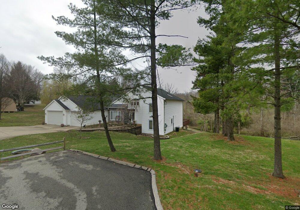
8965 Palomar Rd Cincinnati, OH 45251
Estimated Value: $320,000 - $346,883
3
Beds
3
Baths
1,851
Sq Ft
$181/Sq Ft
Est. Value
About This Home
This home is located at 8965 Palomar Rd, Cincinnati, OH 45251 and is currently estimated at $334,971, approximately $180 per square foot. 8965 Palomar Rd is a home located in Hamilton County with nearby schools including Colerain Elementary School, Colerain Middle School, and Colerain High School.
Ownership History
Date
Name
Owned For
Owner Type
Purchase Details
Closed on
Jan 30, 2020
Sold by
Osterbrock Timothy
Bought by
Osterbrock Timothy and Osterbrock Family Revocable Li
Current Estimated Value
Purchase Details
Closed on
Oct 23, 2003
Sold by
Osterbrock Timothy G and Osterbrock Lesli K
Bought by
Osterbrock Timothy G
Purchase Details
Closed on
Dec 12, 2002
Sold by
Osterbrock Timothy G and Osterbrock Lesli K
Bought by
Osterbrock Timothy G and Osterbrock Lesli K
Create a Home Valuation Report for This Property
The Home Valuation Report is an in-depth analysis detailing your home's value as well as a comparison with similar homes in the area
Home Values in the Area
Average Home Value in this Area
Purchase History
| Date | Buyer | Sale Price | Title Company |
|---|---|---|---|
| Osterbrock Timothy | -- | None Available | |
| Osterbrock Timothy G | -- | None Available | |
| Osterbrock Timothy G | -- | -- |
Source: Public Records
Tax History
| Year | Tax Paid | Tax Assessment Tax Assessment Total Assessment is a certain percentage of the fair market value that is determined by local assessors to be the total taxable value of land and additions on the property. | Land | Improvement |
|---|---|---|---|---|
| 2025 | $5,786 | $110,702 | $8,785 | $101,917 |
| 2024 | $5,368 | $110,702 | $8,785 | $101,917 |
| 2023 | $5,445 | $110,702 | $8,785 | $101,917 |
| 2022 | $4,060 | $70,480 | $6,899 | $63,581 |
| 2021 | $4,014 | $70,480 | $6,899 | $63,581 |
| 2020 | $4,070 | $70,480 | $6,899 | $63,581 |
| 2019 | $3,598 | $59,728 | $5,845 | $53,883 |
| 2018 | $3,785 | $59,728 | $5,845 | $53,883 |
| 2017 | $3,585 | $59,728 | $5,845 | $53,883 |
| 2016 | $3,820 | $62,825 | $8,750 | $54,075 |
| 2015 | $3,858 | $62,825 | $8,750 | $54,075 |
| 2014 | $3,864 | $62,825 | $8,750 | $54,075 |
| 2013 | $3,678 | $62,825 | $8,750 | $54,075 |
Source: Public Records
Map
Nearby Homes
- 9103 Zoellner Rd
- 9161 Trelawney Ct
- 3069 Sovereign Dr
- 9302 Loralinda Dr
- 8949 Pippin Rd
- 3258 Lillwood Ln
- 2896 Regal Ln
- 2714 Compton Rd
- 2787 Rylan Dr
- 3494 Poole Rd
- 2953 Commodore Ln
- 2908 Libra Ln
- 8628 Paisley Dr
- 9126 Round Top Rd
- 9528 Haddington Ct
- 9457 Willowgate Dr
- 9503 Haddington Ct
- 3364 Amberway Ct Unit 45
- 3467 Amberway Ct Unit 85
- 9446 Haddington Ct
- 8983 Palomar Rd
- 8966 Palomar Rd
- 8909 Tripoli Dr
- 8901 Tripoli Dr
- 8974 Palomar Rd
- 8991 Palomar Rd
- 8927 Tripoli Dr
- 8935 Tripoli Dr
- 8939 Tripoli Dr
- 8988 Palomar Rd
- 8945 Tripoli Dr
- 8994 Palomar Rd
- 3120 Pavlova Dr
- 0 Palomar Rd
- 9111 Zoellner Dr
- 8902 Tripoli Dr
- 9002 Palomar Rd
- 3097 Montezuma Dr
- 8910 Tripoli Dr
- 8977 Tripoli Dr
Your Personal Tour Guide
Ask me questions while you tour the home.