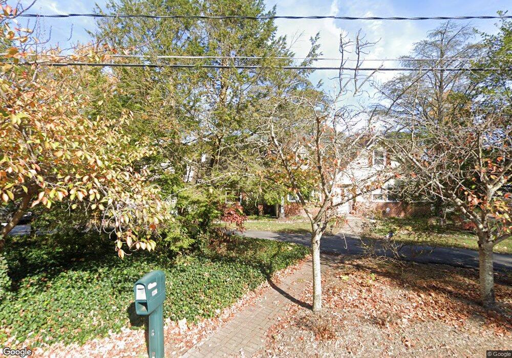
897 Laurel Way Arnold, MD 21012
Estimated Value: $712,250 - $878,000
Studio
2
Baths
1,996
Sq Ft
$416/Sq Ft
Est. Value
About This Home
This home is located at 897 Laurel Way, Arnold, MD 21012 and is currently estimated at $830,563, approximately $416 per square foot. 897 Laurel Way is a home located in Anne Arundel County with nearby schools including Broadneck Elementary School, Magothy River Middle School, and Broadneck High School.
Ownership History
Date
Name
Owned For
Owner Type
Purchase Details
Closed on
Jun 24, 2014
Sold by
Forste Eric A
Bought by
Forste Eric A and Forste Fabiola A
Current Estimated Value
Home Financials for this Owner
Home Financials are based on the most recent Mortgage that was taken out on this home.
Original Mortgage
$300,000
Outstanding Balance
$230,735
Interest Rate
4.5%
Mortgage Type
Adjustable Rate Mortgage/ARM
Estimated Equity
$599,828
Purchase Details
Closed on
Sep 1, 1978
Bought by
Forste Robert H and Forste Jane B
Home Financials for this Owner
Home Financials are based on the most recent Mortgage that was taken out on this home.
Original Mortgage
$60,000
Interest Rate
9.75%
Create a Home Valuation Report for This Property
The Home Valuation Report is an in-depth analysis detailing your home's value as well as a comparison with similar homes in the area
Home Values in the Area
Average Home Value in this Area
Purchase History
| Date | Buyer | Sale Price | Title Company |
|---|---|---|---|
| Forste Eric A | -- | Perfection Title Ltd | |
| Forste Eric A | -- | Perfection Title Ltd | |
| Forste Robert H | $93,000 | -- |
Source: Public Records
Mortgage History
| Date | Status | Borrower | Loan Amount |
|---|---|---|---|
| Open | Forste Eric A | $300,000 | |
| Closed | Forste Robert H | $60,000 |
Source: Public Records
Tax History
| Year | Tax Paid | Tax Assessment Tax Assessment Total Assessment is a certain percentage of the fair market value that is determined by local assessors to be the total taxable value of land and additions on the property. | Land | Improvement |
|---|---|---|---|---|
| 2025 | $6,311 | $557,300 | -- | -- |
| 2024 | $6,311 | $530,500 | $316,600 | $213,900 |
| 2023 | $6,235 | $527,567 | $0 | $0 |
| 2022 | $5,913 | $524,633 | $0 | $0 |
| 2020 | $5,844 | $521,700 | $316,600 | $205,100 |
| 2019 | $5,849 | $521,700 | $316,600 | $205,100 |
| 2018 | $5,696 | $561,700 | $378,600 | $183,100 |
| 2017 | $5,999 | $551,100 | $0 | $0 |
| 2016 | -- | $540,500 | $0 | $0 |
| 2015 | -- | $529,900 | $0 | $0 |
| 2014 | -- | $522,233 | $0 | $0 |
Source: Public Records
Map
Nearby Homes
- 920 Burnett Ave
- 876 Shore Acres Rd
- 921 Lake Dr
- 404 Alameda Pkwy
- 559 Melissa Ct
- 1159 Greenhill Rd
- 539 Greenblades Ct
- 643 Oakland Hills Dr Unit U2A
- 1110 Niblick Ct
- 1124 Brassie Ct
- 975 Phillips Dr
- 1019 Landon Ln
- 959 Morgan Dr
- 276 Overleaf Dr
- 1138 Ramblewood Dr
- 303 Ternwing Dr
- 1165 Green Holly Ct
- 618 Newbridge Ct Unit 3-618
- 1410 Greendale Ct Unit 2-1410
- 624 Southern Hills Dr Unit B-2A
Your Personal Tour Guide
Ask me questions while you tour the home.