897 State Route 58 Ashland, OH 44805
Estimated Value: $206,000 - $379,000
3
Beds
2
Baths
1,471
Sq Ft
$194/Sq Ft
Est. Value
About This Home
This home is located at 897 State Route 58, Ashland, OH 44805 and is currently estimated at $286,001, approximately $194 per square foot. 897 State Route 58 is a home located in Ashland County with nearby schools including Mapleton Elementary School, Mapleton Middle School, and Mapleton High School.
Ownership History
Date
Name
Owned For
Owner Type
Purchase Details
Closed on
Oct 26, 2018
Sold by
Ensinger Lynn L
Bought by
Barker Jerry R
Current Estimated Value
Home Financials for this Owner
Home Financials are based on the most recent Mortgage that was taken out on this home.
Original Mortgage
$242,606
Outstanding Balance
$212,446
Interest Rate
4.6%
Mortgage Type
VA
Estimated Equity
$73,555
Purchase Details
Closed on
Jan 1, 1990
Bought by
Stuart Lynn L
Create a Home Valuation Report for This Property
The Home Valuation Report is an in-depth analysis detailing your home's value as well as a comparison with similar homes in the area
Home Values in the Area
Average Home Value in this Area
Purchase History
| Date | Buyer | Sale Price | Title Company |
|---|---|---|---|
| Barker Jerry R | $237,500 | Attorney Only | |
| Stuart Lynn L | -- | -- |
Source: Public Records
Mortgage History
| Date | Status | Borrower | Loan Amount |
|---|---|---|---|
| Open | Barker Jerry R | $242,606 |
Source: Public Records
Tax History Compared to Growth
Tax History
| Year | Tax Paid | Tax Assessment Tax Assessment Total Assessment is a certain percentage of the fair market value that is determined by local assessors to be the total taxable value of land and additions on the property. | Land | Improvement |
|---|---|---|---|---|
| 2024 | $2,664 | $80,350 | $16,800 | $63,550 |
| 2023 | $2,664 | $80,350 | $16,800 | $63,550 |
| 2022 | $2,395 | $64,280 | $13,440 | $50,840 |
| 2021 | $2,400 | $64,280 | $13,440 | $50,840 |
| 2020 | $2,230 | $64,280 | $13,440 | $50,840 |
| 2019 | $1,615 | $45,130 | $10,470 | $34,660 |
| 2018 | $1,731 | $45,130 | $10,470 | $34,660 |
| 2017 | $1,751 | $45,130 | $10,470 | $34,660 |
| 2016 | $1,582 | $41,030 | $9,520 | $31,510 |
| 2015 | $1,525 | $41,030 | $9,520 | $31,510 |
| 2013 | $1,658 | $43,830 | $9,040 | $34,790 |
Source: Public Records
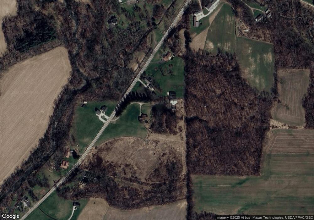
Map
Nearby Homes
- 829 County Road 801
- 1173 Township Road 753
- 667 Township Road 1275
- 902 Ohio 89
- 732 Ohio 89
- 99 Harold Dr
- 95 Harold Dr
- 32 Terrace Dr
- 439 N Main St
- 16 Terrace Dr
- 582 County Road 801
- 121 Harold Dr
- 67 Harold Dr
- 3 Terrace Dr
- 1191 State Route 511
- 1520 Orange Rd Unit 22
- 1520 Orange Rd
- 254 E Congress St
- 686 County Road 1302
- 0 Westlake Dr
- 897 State Route 58 Unit 3
- 897 State Route 58
- 897 Ohio 58
- 889 State Route 58
- 898 State Route 58
- 885 Ohio 58
- 885 State Route 58
- 907 Ohio 58
- 907 State Route 58
- 906 State Route 58
- 906 Ohio 58
- 875 State Route 58
- 870 State Route 58
- 913 State Route 58
- 914 State Route 58
- 914 Ohio 58
- 901 County Road 801
- 869 State Route 58
- 884 State Route 58
- 913 County Road 801