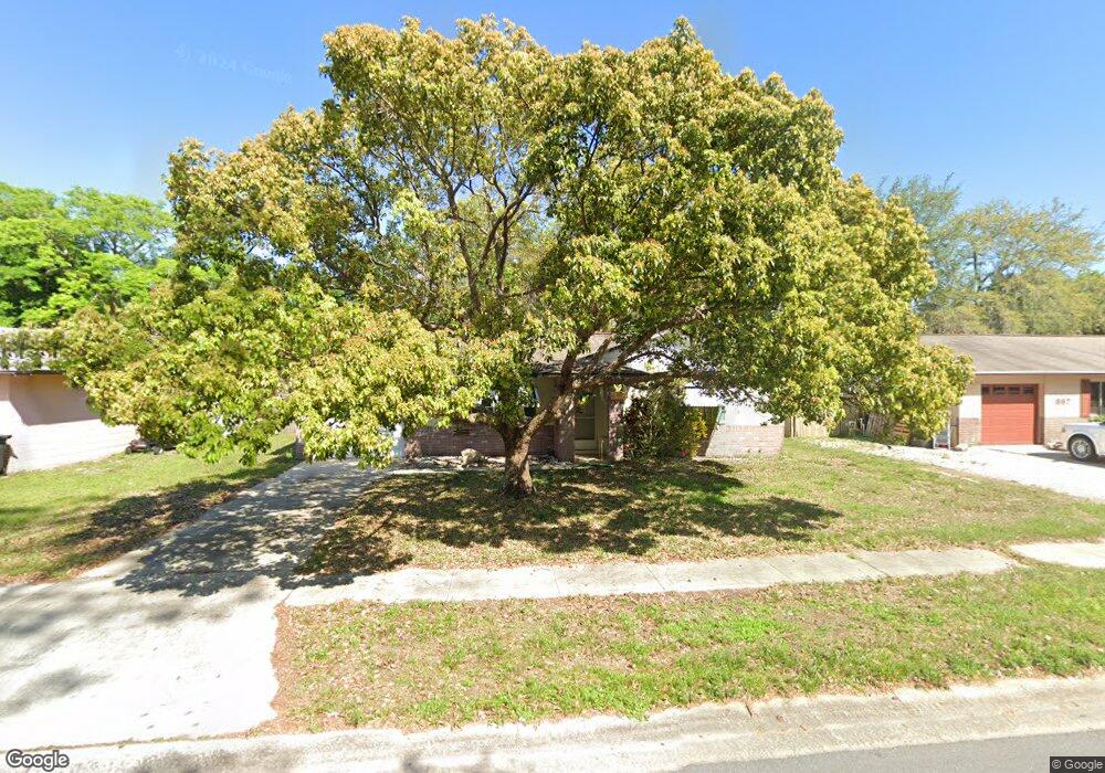
897 Tennessee St Titusville, FL 32796
Estimated Value: $226,000 - $264,000
3
Beds
2
Baths
1,226
Sq Ft
$198/Sq Ft
Est. Value
About This Home
This home is located at 897 Tennessee St, Titusville, FL 32796 and is currently estimated at $242,990, approximately $198 per square foot. 897 Tennessee St is a home located in Brevard County with nearby schools including Oak Park Elementary School, James Madison Middle School, and Astronaut High School.
Ownership History
Date
Name
Owned For
Owner Type
Purchase Details
Closed on
May 31, 1995
Sold by
Claudy Frances E
Bought by
Wimer David Walter and Wimer Linda Jean
Current Estimated Value
Home Financials for this Owner
Home Financials are based on the most recent Mortgage that was taken out on this home.
Original Mortgage
$35,000
Interest Rate
8.22%
Purchase Details
Closed on
Dec 8, 1993
Sold by
Wyers H B and Wyers Dorothy G
Bought by
Claudy Robert A and Claudy Frances E
Create a Home Valuation Report for This Property
The Home Valuation Report is an in-depth analysis detailing your home's value as well as a comparison with similar homes in the area
Home Values in the Area
Average Home Value in this Area
Purchase History
| Date | Buyer | Sale Price | Title Company |
|---|---|---|---|
| Wimer David Walter | $60,000 | -- | |
| Claudy Robert A | $59,000 | -- |
Source: Public Records
Mortgage History
| Date | Status | Borrower | Loan Amount |
|---|---|---|---|
| Closed | Wimer David Walter | $35,000 |
Source: Public Records
Tax History Compared to Growth
Tax History
| Year | Tax Paid | Tax Assessment Tax Assessment Total Assessment is a certain percentage of the fair market value that is determined by local assessors to be the total taxable value of land and additions on the property. | Land | Improvement |
|---|---|---|---|---|
| 2025 | $798 | $76,450 | -- | -- |
| 2024 | $774 | $74,300 | -- | -- |
| 2023 | $774 | $72,140 | $0 | $0 |
| 2022 | $715 | $70,040 | $0 | $0 |
| 2021 | $731 | $68,000 | $0 | $0 |
| 2020 | $735 | $67,070 | $0 | $0 |
| 2019 | $753 | $65,570 | $0 | $0 |
| 2018 | $764 | $64,350 | $0 | $0 |
| 2017 | $768 | $63,030 | $0 | $0 |
| 2016 | $690 | $61,740 | $15,500 | $46,240 |
| 2015 | $713 | $61,320 | $15,500 | $45,820 |
| 2014 | $714 | $60,840 | $15,500 | $45,340 |
Source: Public Records
Map
Nearby Homes
- 2135 Mayfair Way Unit Lot 71
- 2135 Mayfair Way Unit 84
- 2135 Mayfair Way Unit 98
- 970 Carolina Cir
- 614 West Ct
- 671 N Dixie Ave Unit 18A
- 610 East Ct
- 2015 Malinda Ln
- 870 Century Medical Dr
- 502 Vaughn St
- 2565 Shady Oaks Dr
- 0000 Buffalo Rd
- 424 Lenore Ave
- 1035 S Mars Ct
- 7.26 Route 1
- 2765 Winstead Dr
- 1636 Violet Ave
- 160 N Williams Ave
- Tbd N Washington Ave
- 2870 Starlight Dr
- 907 Tennessee St
- 887 Tennessee St
- 917 Tennessee St
- 877 Tennessee St
- 892 Tennessee St
- 882 Tennessee St
- 902 Tennessee St
- 927 Tennessee St
- 872 Tennessee St
- 867 Tennessee St
- 2170 Silver Star Rd
- 885 Alabama St
- 922 Tennessee St
- 937 Tennessee St
- 905 Alabama St
- 857 Tennessee St
- 915 Alabama St
- 932 Tennessee St
- 2140 Silver Star Rd
- 925 Alabama St