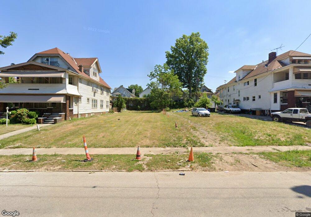
897 Thornhill Dr Cleveland, OH 44108
Forest Hills NeighborhoodEstimated Value: $110,000
7
Beds
3
Baths
3,627
Sq Ft
$30/Sq Ft
Est. Value
About This Home
This home is located at 897 Thornhill Dr, Cleveland, OH 44108 and is currently priced at $110,000, approximately $30 per square foot. 897 Thornhill Dr is a home located in Cuyahoga County with nearby schools including Bolton, Anton Grdina School, and Andrew J. Rickoff School.
Ownership History
Date
Name
Owned For
Owner Type
Purchase Details
Closed on
Jun 17, 2022
Sold by
Cuyahoga County Land Reutilization Corpo
Bought by
City Of Cleveland Land Reutilization Program
Current Estimated Value
Purchase Details
Closed on
Dec 24, 2018
Sold by
Tinnin Roosevelt and Cuyahoga County Ttreasurer
Bought by
Cuyahoga County Land Reutilization Corp
Purchase Details
Closed on
May 9, 1984
Sold by
Cox Ruth
Bought by
Cox Ruth
Purchase Details
Closed on
Nov 14, 1983
Sold by
Tinnin Katie M
Bought by
Tinnin Patricia
Purchase Details
Closed on
Jan 1, 1975
Bought by
Tinnin Katie M
Create a Home Valuation Report for This Property
The Home Valuation Report is an in-depth analysis detailing your home's value as well as a comparison with similar homes in the area
Home Values in the Area
Average Home Value in this Area
Purchase History
| Date | Buyer | Sale Price | Title Company |
|---|---|---|---|
| City Of Cleveland Land Reutilization Program | -- | Rink Robert P | |
| Cuyahoga County Land Reutilization Corp | -- | None Available | |
| Cox Ruth | -- | -- | |
| Tinnin Patricia | -- | -- | |
| Tinnin Katie M | -- | -- |
Source: Public Records
Tax History Compared to Growth
Tax History
| Year | Tax Paid | Tax Assessment Tax Assessment Total Assessment is a certain percentage of the fair market value that is determined by local assessors to be the total taxable value of land and additions on the property. | Land | Improvement |
|---|---|---|---|---|
| 2024 | -- | $700 | $700 | -- |
| 2022 | $0 | $2,030 | $2,030 | $0 |
| 2021 | $0 | $2,030 | $2,030 | $0 |
| 2020 | $0 | $2,380 | $2,030 | $350 |
| 2019 | $1,467 | $0 | $0 | $0 |
| 2018 | $2,134 | $2,380 | $2,030 | $350 |
| 2017 | $1,937 | $2,840 | $2,490 | $350 |
| 2016 | $1,774 | $13,170 | $2,490 | $10,680 |
| 2015 | $15,693 | $13,170 | $2,490 | $10,680 |
| 2014 | $15,693 | $14,640 | $2,770 | $11,870 |
Source: Public Records
Map
Nearby Homes
- 885 Eddy Rd
- 915 Eddy Rd
- 937 Parkway Rd
- 12329 Fairport Ave
- 12517 Arlington Ave
- 12528 Edmonton Ave
- 12616 Arlington Ave
- 11705 Fairport Ave
- 1003 Eddy Rd
- 853 E 128th St
- 1069 Carlyon Rd
- 974 E 129th St
- 878 E 130th St
- 753 E 118th St
- 11510 Durant Ave
- 990 E 129th St
- 11515 Hopkins Ave
- 11419 Durant Ave
- 11502 Fairport Ave
- 739 E 127th St