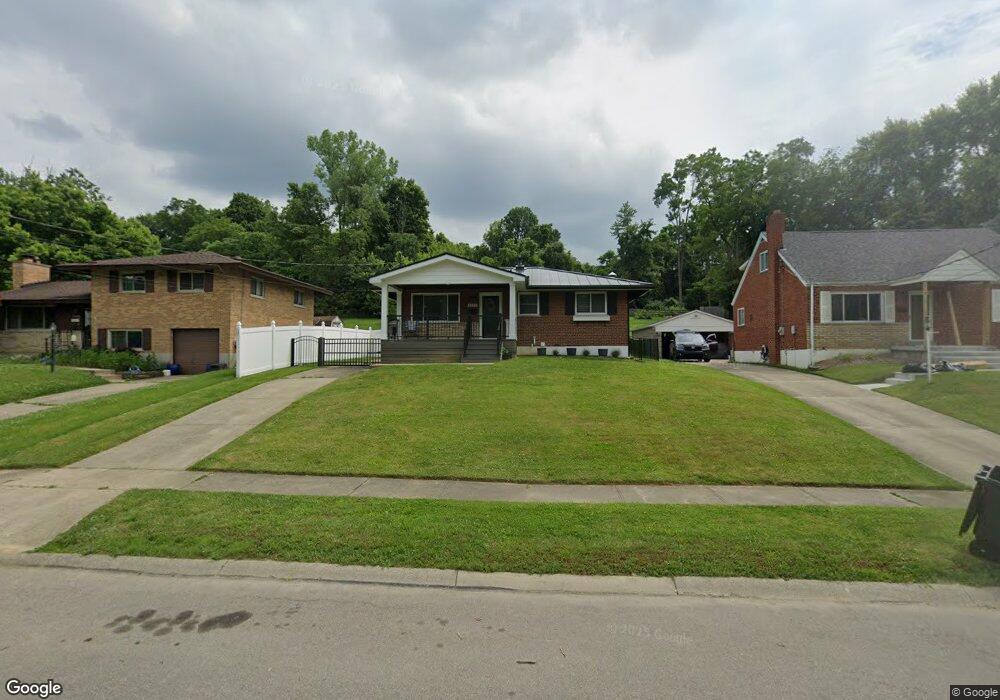
8971 Eldora Dr Cincinnati, OH 45236
Estimated Value: $226,762 - $291,000
About This Home
This home is located at 8971 Eldora Dr, Cincinnati, OH 45236 and is currently estimated at $262,441, approximately $341 per square foot. 8971 Eldora Dr is a home located in Hamilton County with nearby schools including Amity Elementary School, Deer Park Jr/Sr High School, and Ohr Torah Cincinnati.
Ownership History
We collect this data history from publicly available records. To have your information removed, we recommend requesting removal directly through your county’s website.
Purchase Details
Home Financials for this Owner
Home Financials are based on the most recent Mortgage that was taken out on this home.Home Values in the Area
Average Home Value in this Area
Purchase History
We collect this data history from publicly available records. To have your information removed, we recommend requesting removal directly through your county’s website.
| Date | Buyer | Sale Price | Title Company |
|---|---|---|---|
| -- | First Service Title Agency I |
Mortgage History
We collect this data history from publicly available records. To have your information removed, we recommend requesting removal directly through your county’s website.
| Date | Status | Borrower | Loan Amount |
|---|---|---|---|
| Closed | $99,000 |
Tax History
We collect this data history from publicly available records. To have your information removed, we recommend requesting removal directly through your county’s website.
| Year | Tax Paid | Tax Assessment Tax Assessment Total Assessment is a certain percentage of the fair market value that is determined by local assessors to be the total taxable value of land and additions on the property. | Land | Improvement |
|---|---|---|---|---|
| 2025 | $3,592 | $57,824 | $13,367 | $44,457 |
| 2024 | $3,124 | $57,824 | $13,367 | $44,457 |
| 2023 | $3,180 | $57,824 | $13,367 | $44,457 |
| 2022 | $3,041 | $42,592 | $11,687 | $30,905 |
| 2021 | $2,979 | $42,592 | $11,687 | $30,905 |
| 2020 | $2,156 | $42,592 | $11,687 | $30,905 |
| 2019 | $2,021 | $37,363 | $10,252 | $27,111 |
| 2018 | $2,022 | $37,363 | $10,252 | $27,111 |
| 2017 | $1,908 | $37,363 | $10,252 | $27,111 |
| 2016 | $1,947 | $37,664 | $10,563 | $27,101 |
| 2015 | $1,812 | $37,664 | $10,563 | $27,101 |
| 2014 | $1,814 | $37,664 | $10,563 | $27,101 |
| 2013 | $1,884 | $38,434 | $10,780 | $27,654 |
Map
- 3746 Belfast Ave
- 1344 Fuhrman Rd
- 2572 S Kathwood Cir
- 2451 Hunt Rd
- 3635 Donegal Dr
- 2443 Hunt Rd
- 4058 Belfast Ave
- 8520 Arborcrest Dr
- 4053 Belfast Ave
- 1278 Sanborn Ct
- 8546 Darnell Ave
- 3622 Lobelia Dr
- 8978 Blossom Dr
- 8575 Kentland Ct
- 3345 Longmeadow Ln
- 9486 Oakhurst Ct
- 3595 Cooper Rd
- 3583 Cooper Rd
- 3616 Cooper Rd
- 1119 Alwil Dr
Ask me questions while you tour the home.