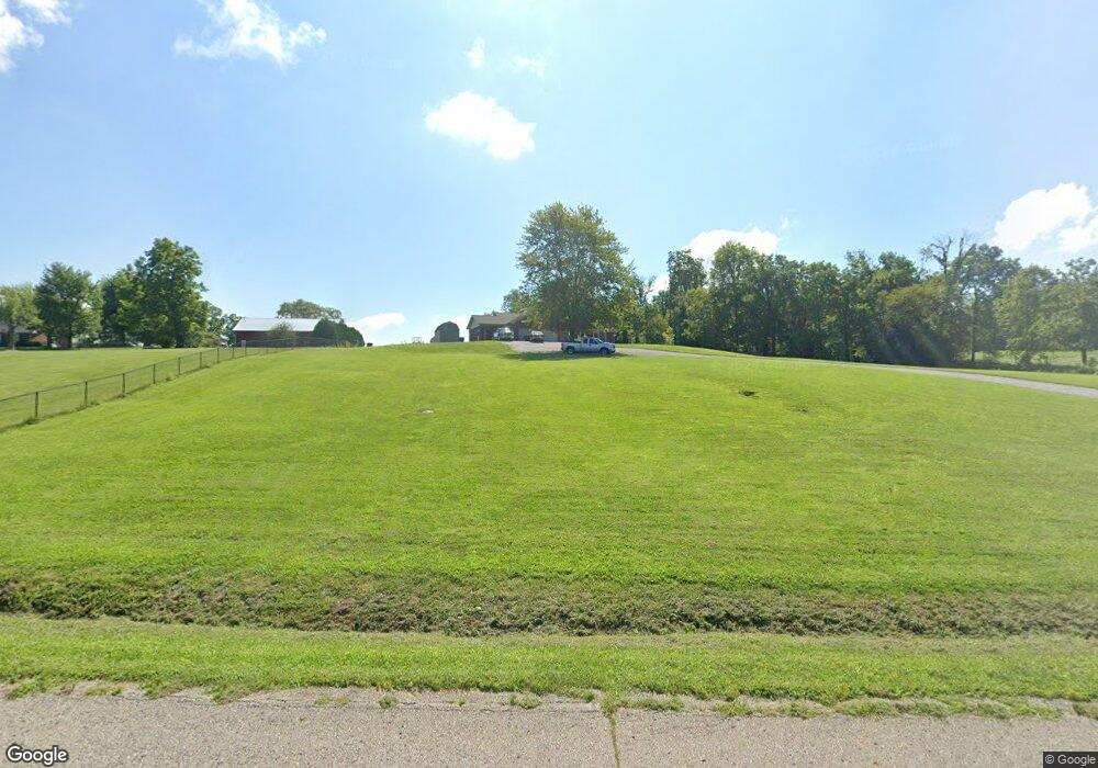
8972 N Morristown Rd Morristown, IN 46161
Estimated Value: $225,000 - $536,329
3
Beds
2
Baths
1,892
Sq Ft
$191/Sq Ft
Est. Value
About This Home
This home is located at 8972 N Morristown Rd, Morristown, IN 46161 and is currently estimated at $360,443, approximately $190 per square foot. 8972 N Morristown Rd is a home with nearby schools including Morristown Elementary School and Morristown Junior/Senior High School.
Ownership History
Date
Name
Owned For
Owner Type
Purchase Details
Closed on
Nov 8, 2017
Sold by
Hanover Group Ii Llc
Bought by
Tracy Neil A and Tracy Debra E
Current Estimated Value
Home Financials for this Owner
Home Financials are based on the most recent Mortgage that was taken out on this home.
Original Mortgage
$266,000
Outstanding Balance
$222,777
Interest Rate
3.83%
Mortgage Type
Construction
Estimated Equity
$137,666
Purchase Details
Closed on
Jun 9, 2017
Sold by
Hanover Group Ii Llc
Bought by
Tracy Neil A
Create a Home Valuation Report for This Property
The Home Valuation Report is an in-depth analysis detailing your home's value as well as a comparison with similar homes in the area
Home Values in the Area
Average Home Value in this Area
Purchase History
| Date | Buyer | Sale Price | Title Company |
|---|---|---|---|
| Tracy Neil A | $50,000 | Security Title Services | |
| Tracy Neil A | $50,000 | -- |
Source: Public Records
Mortgage History
| Date | Status | Borrower | Loan Amount |
|---|---|---|---|
| Open | Tracy Neil A | $266,000 |
Source: Public Records
Tax History Compared to Growth
Tax History
| Year | Tax Paid | Tax Assessment Tax Assessment Total Assessment is a certain percentage of the fair market value that is determined by local assessors to be the total taxable value of land and additions on the property. | Land | Improvement |
|---|---|---|---|---|
| 2024 | $3,116 | $362,000 | $27,300 | $334,700 |
| 2023 | $2,983 | $352,500 | $26,900 | $325,600 |
| 2022 | $2,977 | $329,700 | $24,300 | $305,400 |
| 2021 | $2,418 | $275,000 | $24,000 | $251,000 |
| 2020 | $2,266 | $267,700 | $24,000 | $243,700 |
| 2019 | $2,071 | $250,200 | $23,000 | $227,200 |
| 2018 | $43 | $2,700 | $2,700 | $0 |
| 2017 | $47 | $3,100 | $3,100 | $0 |
| 2016 | $46 | $3,300 | $3,300 | $0 |
| 2014 | $46 | $3,400 | $3,400 | $0 |
| 2013 | $46 | $2,900 | $2,900 | $0 |
Source: Public Records
Map
Nearby Homes
- 321 S Locust St
- 8825 N 300 E
- 2903 E Freeport Rd
- 10620 N 300 E
- 10614 N 300 E
- 10618 N 300 E
- 10812 N Blue River Trail
- 0 E 700 N
- 5681 S 500 E
- 7430 E 600 S
- 0 S 300 East- 2
- 10645 N State Road 9
- 11131 N State Road 9
- 11497 N State Road 9
- 5555 S 200 E
- 0 S 300 E
- 5587 E 400 S
- 42 E Brookville Rd
- 83 E Walnut St
- 6 U S 52
- 9018 N Morristown Rd
- 00 W 700 S Unit Track9
- 00 W 700 S Unit Tract 9
- 00 W 700 S Unit Tract 7
- 00 W 700 S Unit Tract 12
- 00 W 700 S
- 5600 E Co Rd 1100 N
- 800 N E
- E-6 Washington
- 0 N W Qrt Sec 13 T 14n R7 Unit MBR2507496
- E-5 Washington St
- E-4 Washington St
- E-3 Washington St
- 000 Beechwood Trail W
- 00 E Us 52 Rd
- 0 E Westwood Addn Unit MBR21934970
- 0 E Westwood Addn Unit MBR21875895
- Lot 0 N 150 E
- 8744 N Morristown Rd
- 000 Blue River Rd