89731 E Morrison Ln Government Camp, OR 97028
Estimated Value: $1,120,000 - $1,305,911
4
Beds
3
Baths
2,550
Sq Ft
$490/Sq Ft
Est. Value
About This Home
This home is located at 89731 E Morrison Ln, Government Camp, OR 97028 and is currently estimated at $1,248,728, approximately $489 per square foot. 89731 E Morrison Ln is a home located in Clackamas County with nearby schools including Welches Elementary School, Welches Middle School, and Sandy High School.
Ownership History
Date
Name
Owned For
Owner Type
Purchase Details
Closed on
Jun 7, 2018
Sold by
Govy Treehouse Llc
Bought by
Johnson Carol S and Carol S Johnson Trust
Current Estimated Value
Purchase Details
Closed on
Oct 17, 2012
Sold by
Mills Tony
Bought by
Johnson Carol S
Home Financials for this Owner
Home Financials are based on the most recent Mortgage that was taken out on this home.
Original Mortgage
$175,000
Outstanding Balance
$120,807
Interest Rate
3.52%
Mortgage Type
New Conventional
Estimated Equity
$1,127,921
Purchase Details
Closed on
Jul 27, 2011
Sold by
White Mountain Development Llc
Bought by
Mills Tony
Home Financials for this Owner
Home Financials are based on the most recent Mortgage that was taken out on this home.
Original Mortgage
$360,000
Interest Rate
4.46%
Mortgage Type
Purchase Money Mortgage
Create a Home Valuation Report for This Property
The Home Valuation Report is an in-depth analysis detailing your home's value as well as a comparison with similar homes in the area
Home Values in the Area
Average Home Value in this Area
Purchase History
| Date | Buyer | Sale Price | Title Company |
|---|---|---|---|
| Johnson Carol S | -- | None Available | |
| Johnson Carol S | $470,554 | First American | |
| Mills Tony | $150,000 | First Amer Title Ins Co Or |
Source: Public Records
Mortgage History
| Date | Status | Borrower | Loan Amount |
|---|---|---|---|
| Open | Johnson Carol S | $175,000 | |
| Previous Owner | Mills Tony | $360,000 |
Source: Public Records
Tax History Compared to Growth
Tax History
| Year | Tax Paid | Tax Assessment Tax Assessment Total Assessment is a certain percentage of the fair market value that is determined by local assessors to be the total taxable value of land and additions on the property. | Land | Improvement |
|---|---|---|---|---|
| 2025 | $8,721 | $570,760 | -- | -- |
| 2024 | $7,970 | $554,136 | -- | -- |
| 2023 | $7,970 | $537,997 | $0 | $0 |
| 2022 | $7,561 | $522,328 | $0 | $0 |
| 2021 | $7,295 | $507,115 | $0 | $0 |
| 2020 | $7,102 | $492,345 | $0 | $0 |
| 2019 | $7,061 | $478,005 | $0 | $0 |
| 2018 | $6,771 | $464,083 | $0 | $0 |
| 2017 | $6,616 | $450,566 | $0 | $0 |
| 2016 | $6,384 | $437,443 | $0 | $0 |
| 2015 | $6,205 | $424,702 | $0 | $0 |
| 2014 | $6,047 | $412,332 | $0 | $0 |
Source: Public Records
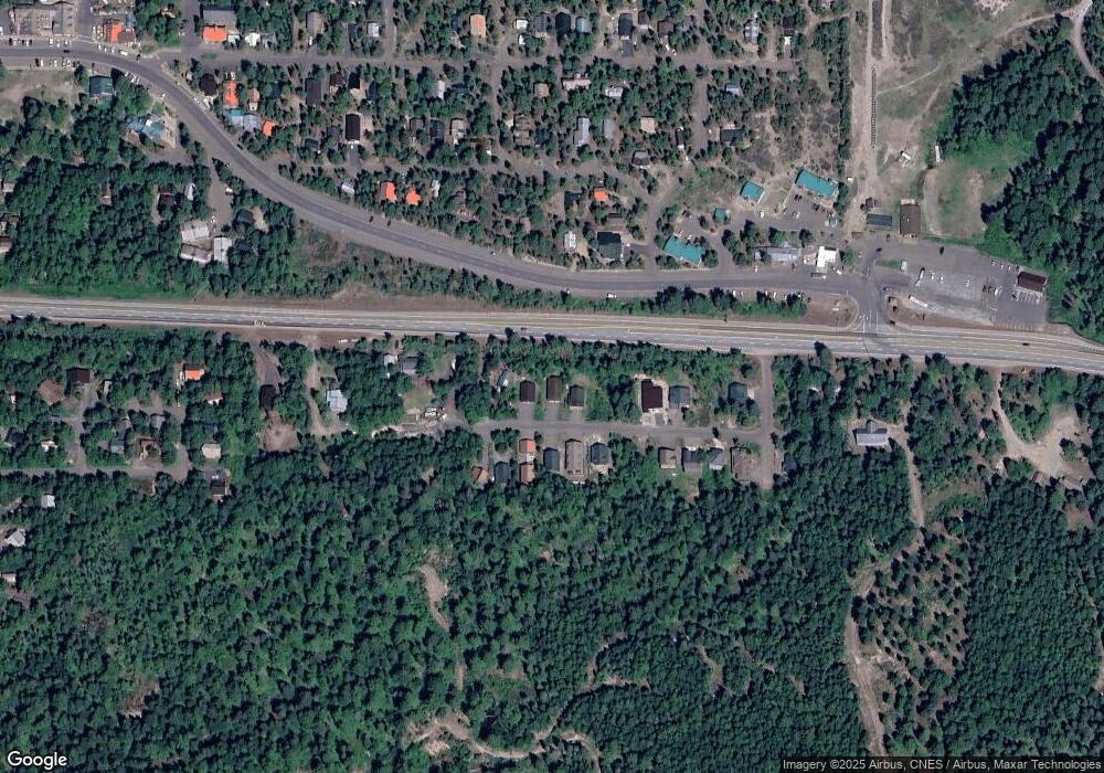
Map
Nearby Homes
- 89790 E Morrison Ln
- 88940 E Round Mountain Loop
- 88460 Government Camp Loop Unit 8
- 88792 E Government Camp Loop
- 88887 E Government Camp Loop
- 30568 E Yule St
- 88264 E Steel Ln
- 30654 E Ski Bowl Way Unit H-138
- 88090 E Outback Way Unit 146
- 87946 E Alpenglow Ln
- 87926 E Alpenglow Ln Unit 61
- 87916 E Alpenglow Ln Unit 62
- 30605 E Camryn Way Unit D-20
- 31200 E Collins Lake Rd Unit 1
- 31254 E Collins Lake Rd Unit 22
- 31244 E Collins Lake Rd Unit 21
- 30930 E Tyrolean Dr
- 90770 E Summit Prairie Rd
- 79340 E Road 35a Unit Lot 44
- 78880 Road 34
- 89731 E Morrison Ln Unit Lot 7
- 89799 E Morrison Ln
- 89685 E Morrison Ln
- 89837 E Morrison Ln
- 89837 E Morrison Ln Unit Lot 5
- 89510 E Highway 26
- 89885 E Morrison Ln Unit Lot 4
- 89722 E Morrison Ln
- 89848 E Morrison Ln
- 89676 E Morrison Ln
- 89923 E Morrison Ln
- 89598 E Morrison Ln
- 89614 E Morrison Ln
- 89989 E Morrison Ln
- 89699 E Government Camp Loop
- 89392 E Highway 26
- 89966 E Morrison Ln
- 89591 E Government Camp Loop
- 90011 E Morrison Ln Unit 1
- 90011 E Morrison Ln