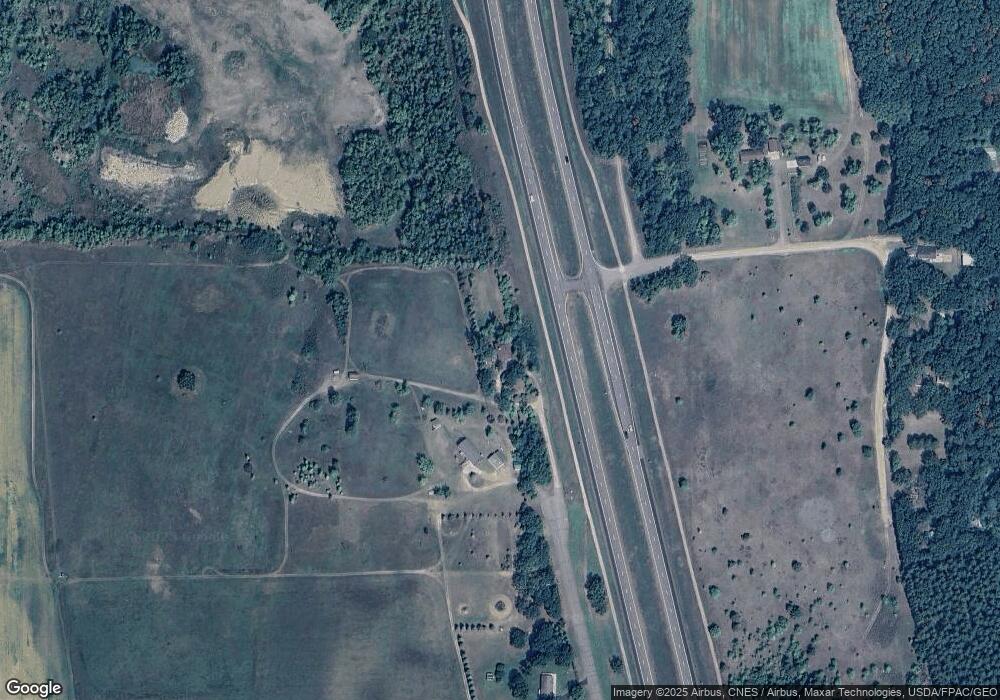
898 Front St Brainerd, MN 56401
Estimated Value: $270,112 - $329,000
3
Beds
3
Baths
2,492
Sq Ft
$120/Sq Ft
Est. Value
About This Home
This home is located at 898 Front St, Brainerd, MN 56401 and is currently estimated at $298,028, approximately $119 per square foot. 898 Front St is a home located in Crow Wing County with nearby schools including Riverside Elementary School, Forestview Middle School, and Brainerd Senior High School.
Ownership History
Date
Name
Owned For
Owner Type
Purchase Details
Closed on
Oct 29, 2021
Sold by
Hc Properties Llc
Bought by
Colgan David
Current Estimated Value
Home Financials for this Owner
Home Financials are based on the most recent Mortgage that was taken out on this home.
Original Mortgage
$207,000
Outstanding Balance
$189,890
Interest Rate
3.07%
Mortgage Type
Construction
Estimated Equity
$108,138
Purchase Details
Closed on
Jan 24, 2018
Sold by
Craft Maynard L
Bought by
Hc Properties Llc
Create a Home Valuation Report for This Property
The Home Valuation Report is an in-depth analysis detailing your home's value as well as a comparison with similar homes in the area
Home Values in the Area
Average Home Value in this Area
Purchase History
| Date | Buyer | Sale Price | Title Company |
|---|---|---|---|
| Colgan David | $207,000 | Elite Title & Escrow | |
| Hc Properties Llc | $48,691 | -- |
Source: Public Records
Mortgage History
| Date | Status | Borrower | Loan Amount |
|---|---|---|---|
| Open | Colgan David | $207,000 |
Source: Public Records
Tax History Compared to Growth
Tax History
| Year | Tax Paid | Tax Assessment Tax Assessment Total Assessment is a certain percentage of the fair market value that is determined by local assessors to be the total taxable value of land and additions on the property. | Land | Improvement |
|---|---|---|---|---|
| 2025 | $654 | $251,900 | $72,700 | $179,200 |
| 2024 | $654 | $236,400 | $68,500 | $167,900 |
| 2023 | $25 | $248,700 | $67,400 | $181,300 |
| 2022 | $25 | $147,100 | $40,400 | $106,700 |
| 2021 | $1,236 | $119,200 | $35,800 | $83,400 |
| 2020 | $1,162 | $118,500 | $36,500 | $82,000 |
| 2019 | $1,152 | $109,100 | $34,300 | $74,800 |
| 2018 | $1,080 | $107,500 | $34,300 | $73,200 |
| 2017 | $1,100 | $108,300 | $34,300 | $74,000 |
| 2016 | $746 | $69,500 | $23,900 | $45,600 |
| 2015 | $744 | $68,400 | $23,800 | $44,600 |
| 2014 | $347 | $66,400 | $19,600 | $46,800 |
Source: Public Records
Map
Nearby Homes
- 2761 Mississippi Shores Rd
- 15576 263rd St
- 5471 Crow Wing Lake Rd
- TBD 263rd St
- 20176 263rd St
- xxx Birch Curve Rd
- TBD Haven Rd
- 27331 Honey Hill Rd
- XXX Mallard Dr
- 21458 Grouse Rd
- xxx Lake Camile Lost Lake
- xxx Cardinal Trail
- TBD Powderhorn Dr
- 8695 Dosh Ln
- 7302 Lake Camile Dr
- XXX Lake Camille Dr
- XXX Norway Trail
- 8624- 50th Ave SW
- 6887 Jennifer Cir
- TBD Willow Trail
