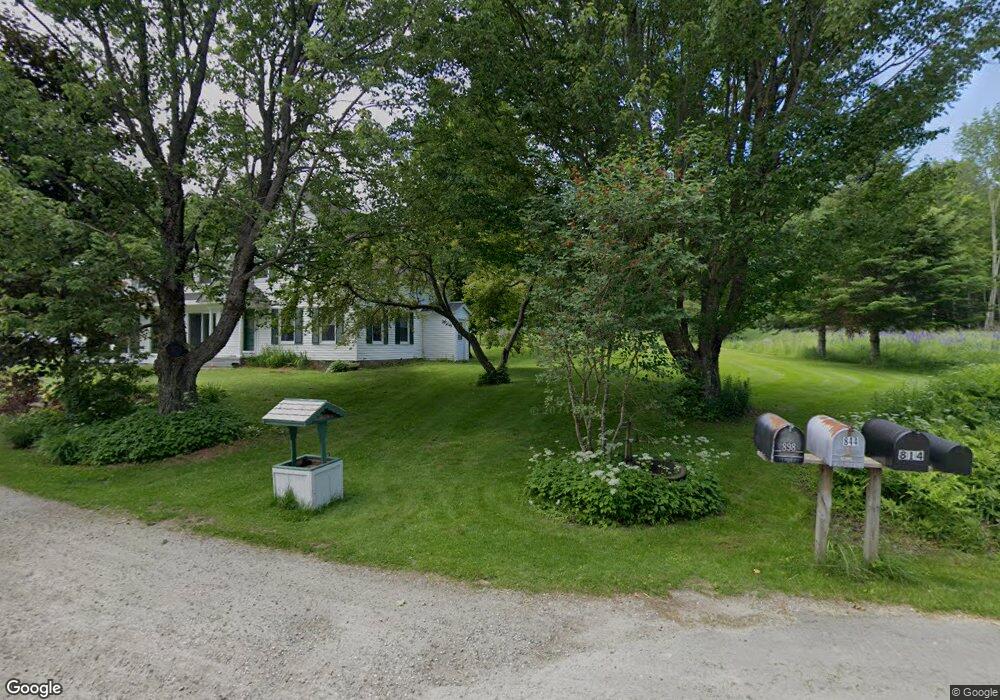
898 Lewis Hill Rd Bethlehem, NH 03574
Estimated Value: $748,000 - $1,324,945
4
Beds
3
Baths
3,475
Sq Ft
$318/Sq Ft
Est. Value
About This Home
This home is located at 898 Lewis Hill Rd, Bethlehem, NH 03574 and is currently estimated at $1,106,486, approximately $318 per square foot. 898 Lewis Hill Rd is a home with nearby schools including Bethlehem Elementary School, Profile Junior High School, and Profile Senior High School.
Ownership History
Date
Name
Owned For
Owner Type
Purchase Details
Closed on
Jan 6, 2017
Sold by
Lewis Hill Road Rt
Bought by
Carol Brait Ret
Current Estimated Value
Home Financials for this Owner
Home Financials are based on the most recent Mortgage that was taken out on this home.
Original Mortgage
$410,000
Outstanding Balance
$197,647
Interest Rate
3.25%
Mortgage Type
Unknown
Estimated Equity
$908,839
Purchase Details
Closed on
Oct 21, 2002
Sold by
Heath Charles A
Bought by
Brait Michael and Brait Carol
Home Financials for this Owner
Home Financials are based on the most recent Mortgage that was taken out on this home.
Original Mortgage
$560,000
Interest Rate
6.18%
Mortgage Type
Purchase Money Mortgage
Create a Home Valuation Report for This Property
The Home Valuation Report is an in-depth analysis detailing your home's value as well as a comparison with similar homes in the area
Home Values in the Area
Average Home Value in this Area
Purchase History
| Date | Buyer | Sale Price | Title Company |
|---|---|---|---|
| Carol Brait Ret | -- | -- | |
| Brait Michael | $700,000 | -- |
Source: Public Records
Mortgage History
| Date | Status | Borrower | Loan Amount |
|---|---|---|---|
| Open | Brait Michael | $410,000 | |
| Previous Owner | Brait Michael | $560,000 |
Source: Public Records
Tax History Compared to Growth
Tax History
| Year | Tax Paid | Tax Assessment Tax Assessment Total Assessment is a certain percentage of the fair market value that is determined by local assessors to be the total taxable value of land and additions on the property. | Land | Improvement |
|---|---|---|---|---|
| 2024 | $19,386 | $1,128,392 | $181,392 | $947,000 |
| 2023 | $17,412 | $1,128,449 | $181,449 | $947,000 |
| 2022 | $15,546 | $650,731 | $80,831 | $569,900 |
| 2021 | $15,979 | $644,559 | $80,859 | $563,700 |
| 2020 | $16,249 | $644,807 | $81,107 | $563,700 |
| 2019 | $17,236 | $644,835 | $81,135 | $563,700 |
| 2018 | $16,736 | $644,449 | $80,749 | $563,700 |
| 2017 | $19,054 | $620,249 | $127,249 | $493,000 |
| 2016 | $17,030 | $620,166 | $127,166 | $493,000 |
| 2015 | $18,366 | $620,055 | $127,055 | $493,000 |
| 2013 | $17,722 | $620,745 | $127,745 | $493,000 |
Source: Public Records
Map
Nearby Homes
- 576 Agassiz St
- 105 Alpenhof Rd
- 206 Lewis Hill Rd
- 00 Shepards Run
- 000 Shepards Run Unit 12
- 0 Shepards Run Unit 4 5054579
- Map 202-Lot 39 Parker Rd
- 637 Wallace Hill Rd
- 28 Jodo Way
- 42 Maple St
- 2254 Main St
- 95 Noyes St
- 11 Summit Dr
- 143 Foxglove Ln
- 14 Summit Dr
- O Main St
- 34 Foxglove Ln
- Map 8 Lot 22 Indian Pipe Rd
- 14 Reid Cir
- 15 Okane Ave
- 814 Lewis Hill Rd
- 179 Whitcomb Hill Rd
- 844 Lewis Hill Rd
- 104 Whitcomb Hill Rd
- 713 Lewis Hill Rd
- 40 Whitcomb Hill Rd
- 686 Lewis Hill Rd
- 106 Whitcomb Hill Rd
- 38 Whitcomb Hill Rd
- 950 Agassiz St
- 900 Agassiz St
- 959 Agassiz St
- 856 Agassiz St
- 1017 Agassiz St
- 1001 Agassiz St
- 939 Agassiz St
- 000 Mount Cleveland Rd
- 860 Agassiz St
- 1100 Agassiz St
- 55 Whitcomb Hill Rd