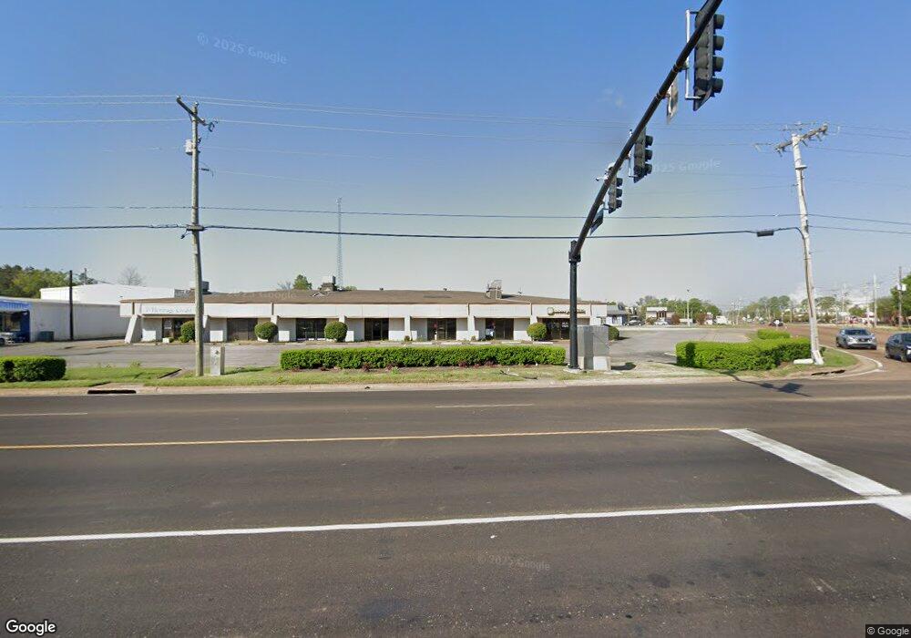
8985 Highway 51 N Southaven, MS 38671
--
Bed
--
Bath
10,382
Sq Ft
0.91
Acres
About This Home
This home is located at 8985 Highway 51 N, Southaven, MS 38671. 8985 Highway 51 N is a home located in DeSoto County with nearby schools including Hope Sullivan Elementary School, Southaven Intermediate School, and Southaven Middle School.
Ownership History
Date
Name
Owned For
Owner Type
Purchase Details
Closed on
Dec 14, 2020
Sold by
Lam Kc
Bought by
Alkaifi Muamer A and Alkaifee Saleh A
Home Financials for this Owner
Home Financials are based on the most recent Mortgage that was taken out on this home.
Original Mortgage
$550,000
Interest Rate
2.65%
Mortgage Type
Purchase Money Mortgage
Purchase Details
Closed on
Apr 30, 2009
Sold by
Rasul C J
Bought by
Lee Anna K C
Home Financials for this Owner
Home Financials are based on the most recent Mortgage that was taken out on this home.
Original Mortgage
$360,000
Interest Rate
5.01%
Mortgage Type
Commercial
Create a Home Valuation Report for This Property
The Home Valuation Report is an in-depth analysis detailing your home's value as well as a comparison with similar homes in the area
Home Values in the Area
Average Home Value in this Area
Purchase History
| Date | Buyer | Sale Price | Title Company |
|---|---|---|---|
| Alkaifi Muamer A | -- | Quality Title Group | |
| Lee Anna K C | -- | None Available |
Source: Public Records
Mortgage History
| Date | Status | Borrower | Loan Amount |
|---|---|---|---|
| Previous Owner | Alkaifi Muamer A | $550,000 | |
| Previous Owner | Lee Anna K C | $360,000 |
Source: Public Records
Tax History Compared to Growth
Tax History
| Year | Tax Paid | Tax Assessment Tax Assessment Total Assessment is a certain percentage of the fair market value that is determined by local assessors to be the total taxable value of land and additions on the property. | Land | Improvement |
|---|---|---|---|---|
| 2024 | $11,403 | $78,683 | $18,750 | $59,933 |
| 2023 | $11,403 | $71,249 | $0 | $0 |
| 2022 | $10,110 | $71,249 | $18,750 | $52,499 |
| 2021 | $10,110 | $71,249 | $18,750 | $52,499 |
| 2020 | $10,363 | $73,039 | $18,750 | $54,289 |
| 2019 | $10,363 | $73,039 | $18,750 | $54,289 |
| 2017 | $9,983 | $121,242 | $69,996 | $51,246 |
| 2016 | $9,983 | $69,996 | $18,750 | $51,246 |
| 2015 | $9,970 | $121,242 | $69,996 | $51,246 |
| 2014 | $9,983 | $69,996 | $0 | $0 |
| 2013 | $10,460 | $69,996 | $0 | $0 |
Source: Public Records
Map
Nearby Homes
- 1728 Forrest Dr
- 8505 Southaven Cir W
- 1400 Staunton Dr
- 1383 Ranger Dr
- 8493 Cedarbrush Dr
- 1821 Tad Cove
- 1279 Eason Ave
- 8341 Whitehead Dr
- 9154 Haleville St
- 8376 Cedarcrest Dr E
- 1456 Eason Ave
- 1242 Brandywine Dr
- 1734 Brookhaven Dr
- 1825 Brookhaven Dr
- 1382 Mary Jane Ave
- 1639 Kilarney Ave
- 8147 Charleston Dr
- 8699 Chesterfield Dr
- 8667 Chesterfield Dr
- 1502 Mary Jane Ave
- 8985 Highway 51 N
- 1809 Vicksburg Dr
- 1926 First Commercial Dr N
- 1926 1st Commercial Dr N
- 1815 Vicksburg Dr
- 1797 Vicksburg Dr
- 0 Industrial Dr Unit 2272598
- 1765 Main St
- 1961 Stateline Rd W
- 1759 Main St
- 1819 Vicksburg Dr
- 1781 Vicksburg Dr
- 8924 Highway 51 N
- 8924 Highway 51 N
- 1767 Vicksburg Dr
- 1823 Vicksburg Dr
- 1792 Vicksburg Dr
- 1723 Stateline Rd W Unit E
- 1723 Stateline Rd W Unit D
- 1723 Stateline Rd E