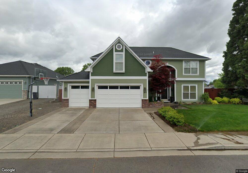
899 Isaac Way Central Point, OR 97502
Estimated Value: $522,000 - $607,000
4
Beds
3
Baths
2,685
Sq Ft
$214/Sq Ft
Est. Value
About This Home
This home is located at 899 Isaac Way, Central Point, OR 97502 and is currently estimated at $575,035, approximately $214 per square foot. 899 Isaac Way is a home located in Jackson County with nearby schools including Central Point Elementary School, Scenic Middle School, and Crater High School.
Ownership History
Date
Name
Owned For
Owner Type
Purchase Details
Closed on
Mar 23, 2009
Sold by
Broesder Jason C and Broesder Chelsea A
Bought by
Kloke Troy
Current Estimated Value
Home Financials for this Owner
Home Financials are based on the most recent Mortgage that was taken out on this home.
Original Mortgage
$269,993
Outstanding Balance
$171,861
Interest Rate
5.15%
Mortgage Type
FHA
Estimated Equity
$403,174
Purchase Details
Closed on
Jun 3, 2004
Sold by
Sowell Michael A and Sowell Janet M
Bought by
Broesder Jason C and Broesder Chelsea A
Create a Home Valuation Report for This Property
The Home Valuation Report is an in-depth analysis detailing your home's value as well as a comparison with similar homes in the area
Home Values in the Area
Average Home Value in this Area
Purchase History
| Date | Buyer | Sale Price | Title Company |
|---|---|---|---|
| Kloke Troy | $275,000 | Lawyers Title Ins | |
| Broesder Jason C | $65,000 | -- |
Source: Public Records
Mortgage History
| Date | Status | Borrower | Loan Amount |
|---|---|---|---|
| Open | Kloke Troy | $269,993 |
Source: Public Records
Tax History Compared to Growth
Tax History
| Year | Tax Paid | Tax Assessment Tax Assessment Total Assessment is a certain percentage of the fair market value that is determined by local assessors to be the total taxable value of land and additions on the property. | Land | Improvement |
|---|---|---|---|---|
| 2025 | $5,837 | $351,100 | $56,370 | $294,730 |
| 2024 | $5,837 | $340,880 | $54,730 | $286,150 |
| 2023 | $5,650 | $330,960 | $53,140 | $277,820 |
| 2022 | $5,518 | $330,960 | $53,140 | $277,820 |
| 2021 | $5,360 | $321,330 | $51,590 | $269,740 |
| 2020 | $5,204 | $311,980 | $50,090 | $261,890 |
| 2019 | $5,076 | $294,080 | $47,210 | $246,870 |
| 2018 | $4,921 | $285,520 | $45,840 | $239,680 |
| 2017 | $4,797 | $285,520 | $45,840 | $239,680 |
| 2016 | $4,657 | $269,140 | $43,210 | $225,930 |
| 2015 | $4,462 | $269,140 | $43,210 | $225,930 |
| 2014 | $4,349 | $253,700 | $40,730 | $212,970 |
Source: Public Records
Map
Nearby Homes
- 881 Westrop Dr
- 921 Pittview Ave
- 3358 Bursell Rd
- 3364 Bursell Rd
- 659 Herman Ave
- 1017 Fairfield Ave
- 745 Herman Ave
- 1025 Fairfield Ave
- 3119 Merriman Rd
- 3496 Edella St
- 1060 Hopkins Rd
- 851 Juanita Way
- 1065 Edwina Ave
- 928 Brandi Way
- 2825 Duell Ave
- 2825 Howard Ave
- 571 Briarwood Dr
- 3600 N Pacific Hwy
- 191 Mellecker Way
- 199 Mellecker Way
- 1225 Marilee St
- 891 Isaac Way
- 1223 Marilee St
- 892 Isaac Way
- 890 Isaac Way
- 1230 Marilee St
- 886 Isaac Way
- 1240 Marilee St
- 1224 Marilee St
- 888 Forest Glen Dr
- 886 Forest Glen Dr
- 881 Isaac Way
- 882 Isaac Way
- 1246 Marilee St
- 882 Forest Glen Dr
- 898 Forest Glen Dr
- 899 Westrop Dr
- 891 Westrop Dr
- 885 Westrop Dr
- 878 Isaac Way