899 Tims Fork Rd Chapmanville, WV 25508
Estimated Value: $134,000
3
Beds
2
Baths
924
Sq Ft
$145/Sq Ft
Est. Value
About This Home
This home is located at 899 Tims Fork Rd, Chapmanville, WV 25508 and is currently estimated at $134,000, approximately $145 per square foot. 899 Tims Fork Rd is a home with nearby schools including Chapmanville Primary School, Chapmanville Intermediate School, and Chapmanville Middle School.
Ownership History
Date
Name
Owned For
Owner Type
Purchase Details
Closed on
Apr 25, 2024
Sold by
Browning Barbara K
Bought by
Browning Barbara K and Browning Gene
Current Estimated Value
Home Financials for this Owner
Home Financials are based on the most recent Mortgage that was taken out on this home.
Original Mortgage
$56,000
Outstanding Balance
$52,841
Interest Rate
6.16%
Mortgage Type
New Conventional
Estimated Equity
$81,159
Create a Home Valuation Report for This Property
The Home Valuation Report is an in-depth analysis detailing your home's value as well as a comparison with similar homes in the area
Home Values in the Area
Average Home Value in this Area
Purchase History
| Date | Buyer | Sale Price | Title Company |
|---|---|---|---|
| Browning Barbara K | -- | None Listed On Document |
Source: Public Records
Mortgage History
| Date | Status | Borrower | Loan Amount |
|---|---|---|---|
| Open | Browning Barbara K | $56,000 |
Source: Public Records
Tax History Compared to Growth
Tax History
| Year | Tax Paid | Tax Assessment Tax Assessment Total Assessment is a certain percentage of the fair market value that is determined by local assessors to be the total taxable value of land and additions on the property. | Land | Improvement |
|---|---|---|---|---|
| 2024 | $171 | $35,040 | $10,800 | $24,240 |
| 2023 | $184 | $34,620 | $10,800 | $23,820 |
| 2022 | $214 | $36,840 | $10,800 | $26,040 |
| 2021 | $211 | $36,540 | $10,800 | $25,740 |
| 2020 | $202 | $36,000 | $10,800 | $25,200 |
| 2019 | $198 | $35,640 | $10,800 | $24,840 |
| 2018 | $201 | $35,880 | $10,800 | $25,080 |
| 2017 | $195 | $35,460 | $10,800 | $24,660 |
| 2016 | $223 | $37,620 | $12,060 | $25,560 |
| 2015 | $171 | $33,540 | $12,060 | $21,480 |
| 2014 | $167 | $33,240 | $12,060 | $21,180 |
Source: Public Records
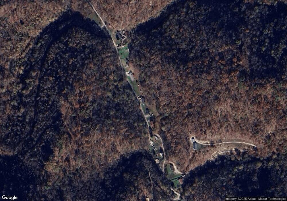
Map
Nearby Homes
- 469 Tims Fork Rd
- 1198 Caney Branch Rd
- 39 Stollinball Rd
- 662 Hidden Valley Rd
- 37 Poncho Dr
- 282 Hidden Valley Rd
- 131 Bentley Branch Rd
- 68 Shady Ridge Rd
- 133 Rivers Edge Dr
- 969 Airport Rd
- 25 Adams St
- 6 Farley St
- 142 Oasis Cir
- 49 Garnet Ave
- 26 Justice Addition Ct
- TBD Pecks Mill Bridge Rd
- 234 Towers Dr
- 216 Central Ave
- 66 Good Samaritan St
- TBD Martin Hollow Rd
- 951 Tims Fork Rd
- 847 Tims Fork Rd
- 815 Tims Fork Rd
- 1040 Tims Fork Rd
- 1049 Tims Fork Rd
- 1099 Tims Fork Rd
- 201 Butcher Hollow Rd
- 460 Tims Fork Rd
- 305 Tims Fork Rd
- 196 Tims Fork Rd
- 400 Tims Fork Rd
- 140 Tims Fork Rd
- 1492 Tims Fork Rd
- 373 Tims Fork Rd
- 148 Tims Fork Rd
- 273 Tims Fork Rd
- 1534 Tims Fork Rd
- 269 Tomahawk Trail
- 235 Tims Fork Rd
- 123 Matties Trail