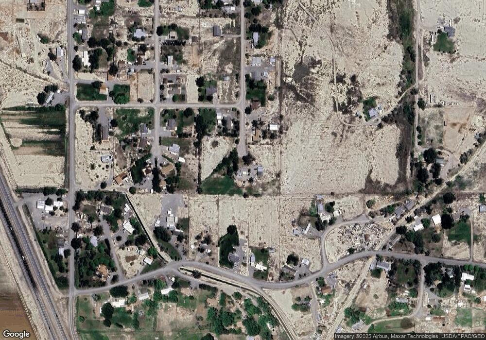
8990 6095 Rd Montrose, CO 81401
Estimated Value: $479,000 - $614,000
5
Beds
3
Baths
2,772
Sq Ft
$195/Sq Ft
Est. Value
About This Home
This home is located at 8990 6095 Rd, Montrose, CO 81401 and is currently estimated at $540,777, approximately $195 per square foot. 8990 6095 Rd is a home located in Montrose County with nearby schools including Olathe Elementary School, Olathe Middle and High School, and Olathe Middle School.
Ownership History
Date
Name
Owned For
Owner Type
Purchase Details
Closed on
Jun 17, 2019
Sold by
Sorden Travis
Bought by
Bries David G and Bries Terry S
Current Estimated Value
Home Financials for this Owner
Home Financials are based on the most recent Mortgage that was taken out on this home.
Original Mortgage
$301,500
Outstanding Balance
$265,092
Interest Rate
4.1%
Mortgage Type
New Conventional
Estimated Equity
$275,685
Purchase Details
Closed on
Apr 15, 2016
Sold by
Hawthorne Jube W and Hawthorne Peridawn M
Bought by
Sorden Travis
Home Financials for this Owner
Home Financials are based on the most recent Mortgage that was taken out on this home.
Original Mortgage
$286,889
Interest Rate
3.64%
Mortgage Type
New Conventional
Purchase Details
Closed on
Jul 17, 2015
Sold by
Lindsey Robert and Lindsey Debra
Bought by
Hawthorne Jube W and Hawthorne Peridawn M
Home Financials for this Owner
Home Financials are based on the most recent Mortgage that was taken out on this home.
Original Mortgage
$280,950
Interest Rate
3.9%
Mortgage Type
VA
Purchase Details
Closed on
Oct 21, 2005
Sold by
Atwell Glenda C
Bought by
Lindsey Robert and Lindsey Debra
Home Financials for this Owner
Home Financials are based on the most recent Mortgage that was taken out on this home.
Original Mortgage
$185,000
Interest Rate
5.75%
Mortgage Type
New Conventional
Purchase Details
Closed on
Aug 12, 2005
Sold by
Lindsey Bethany C
Bought by
Atwell Glenda C
Purchase Details
Closed on
Dec 20, 2002
Sold by
Mcglynn John
Bought by
Atwell Glenda C & Lindsey Bethany C
Purchase Details
Closed on
Jun 9, 1994
Sold by
Gallenbeck William and Gallenbeck Edith D
Bought by
Mcglynn John
Purchase Details
Closed on
Oct 21, 1986
Sold by
Hiatt Bruce D and Hiatt Linda L
Bought by
Gallenbeck William and Gallenbeck Edith D
Purchase Details
Closed on
Jul 30, 1982
Sold by
Whitener Alvin L and Whitener Sheila K
Bought by
Hiatt Bruce D and Hiatt Linda L
Purchase Details
Closed on
Jul 7, 1978
Sold by
Whitener Alvin L and Whitener Clell W
Bought by
Whitener Alvin L and Whitener Sheila K
Create a Home Valuation Report for This Property
The Home Valuation Report is an in-depth analysis detailing your home's value as well as a comparison with similar homes in the area
Home Values in the Area
Average Home Value in this Area
Purchase History
| Date | Buyer | Sale Price | Title Company |
|---|---|---|---|
| Bries David G | $335,000 | Land Title Guarantee Co | |
| Sorden Travis | $279,000 | Land Title Guarantee Company | |
| Hawthorne Jube W | $282,000 | Land Title | |
| Lindsey Robert | $231,250 | None Available | |
| Atwell Glenda C | -- | None Available | |
| Atwell Glenda C & Lindsey Bethany C | $171,000 | -- | |
| Mcglynn John | $135,000 | -- | |
| Gallenbeck William | $79,900 | -- | |
| Hiatt Bruce D | $82,000 | -- | |
| Whitener Alvin L | $38,000 | -- |
Source: Public Records
Mortgage History
| Date | Status | Borrower | Loan Amount |
|---|---|---|---|
| Open | Bries David G | $301,500 | |
| Previous Owner | Sorden Travis | $286,889 | |
| Previous Owner | Hawthorne Jube W | $280,950 | |
| Previous Owner | Lindsey Robert | $185,000 |
Source: Public Records
Tax History Compared to Growth
Tax History
| Year | Tax Paid | Tax Assessment Tax Assessment Total Assessment is a certain percentage of the fair market value that is determined by local assessors to be the total taxable value of land and additions on the property. | Land | Improvement |
|---|---|---|---|---|
| 2024 | $2,153 | $30,720 | $3,950 | $26,770 |
| 2023 | $2,153 | $35,680 | $4,590 | $31,090 |
| 2022 | $1,522 | $24,180 | $2,870 | $21,310 |
| 2021 | $1,573 | $24,870 | $2,950 | $21,920 |
| 2020 | $1,285 | $20,730 | $2,570 | $18,160 |
| 2019 | $1,293 | $20,730 | $2,570 | $18,160 |
| 2018 | $1,214 | $18,940 | $2,150 | $16,790 |
| 2017 | $1,212 | $18,940 | $2,150 | $16,790 |
| 2016 | $1,118 | $17,800 | $2,070 | $15,730 |
| 2015 | $1,031 | $17,800 | $2,070 | $15,730 |
| 2014 | $827 | $15,280 | $2,070 | $13,210 |
Source: Public Records
Map
Nearby Homes
- 9150 6115 Rd
- 9456 6075 Rd
- TBD (Lot 3) Gunnison Rd
- TBD (Lot 2) Gunnison Rd
- TBD (Lot 1) Gunnison Rd
- 61067 Hwy-50
- 61067 Us 50
- 60955 Highway 50
- 60799 Goodieville Ct
- 7941 6150 Rd
- 60142 Highway 50
- 61537 Grand View Ct
- 61272 Falcon Rd
- 9569 Indian Dr
- 62069 Jade Rd
- 7062 6150 Rd
- TBD (Lot 1) 6200 Rd
- 60433 Falcon Rd
- TBD (Lot 2) 6200 Rd
- 60977 Gunnison Rd
- 6095 Road
- 8950 6095 Rd
- 8901 6095 Rd
- 8900 6095 Rd
- 8952 6085 Rd
- 8992 6085 Rd
- 60891 Hillsdale Dr
- 6085 Road
- 9015 Hampshire Ct
- 60955 Hillsdale Dr
- 60845 Hillsdale Dr
- 8902 6085 Rd
- 60901 Guernsey Dr
- 9013 Hampshire Ct
- 61001 Hillsdale Dr
- 0 Hampshire Ct
- 8993 6085 Rd
- 61085 Hillsdale Dr
- 8953 6085 Rd
- 8890 6095 Rd
