8A Louis Dr Brookline, NH 03033
Estimated Value: $906,000 - $1,090,000
4
Beds
4
Baths
5,079
Sq Ft
$197/Sq Ft
Est. Value
About This Home
This home is located at 8A Louis Dr, Brookline, NH 03033 and is currently estimated at $999,829, approximately $196 per square foot. 8A Louis Dr is a home with nearby schools including Richard Maghakian Memorial School, Captain Samuel Douglass Academy, and Hollis-Brookline Middle School.
Ownership History
Date
Name
Owned For
Owner Type
Purchase Details
Closed on
Jul 23, 2020
Sold by
Rogers Thomas F and Rogers Stephanie L
Bought by
Thomas & S Rogers Ft
Current Estimated Value
Home Financials for this Owner
Home Financials are based on the most recent Mortgage that was taken out on this home.
Original Mortgage
$299,000
Outstanding Balance
$211,250
Interest Rate
3.1%
Mortgage Type
New Conventional
Estimated Equity
$788,579
Create a Home Valuation Report for This Property
The Home Valuation Report is an in-depth analysis detailing your home's value as well as a comparison with similar homes in the area
Home Values in the Area
Average Home Value in this Area
Purchase History
| Date | Buyer | Sale Price | Title Company |
|---|---|---|---|
| Thomas & S Rogers Ft | -- | None Available |
Source: Public Records
Mortgage History
| Date | Status | Borrower | Loan Amount |
|---|---|---|---|
| Open | Thomas & S Rogers Ft | $299,000 |
Source: Public Records
Tax History Compared to Growth
Tax History
| Year | Tax Paid | Tax Assessment Tax Assessment Total Assessment is a certain percentage of the fair market value that is determined by local assessors to be the total taxable value of land and additions on the property. | Land | Improvement |
|---|---|---|---|---|
| 2024 | $20,139 | $890,700 | $212,400 | $678,300 |
| 2023 | $18,463 | $888,500 | $212,400 | $676,100 |
| 2022 | $16,055 | $540,200 | $122,000 | $418,200 |
| 2021 | $15,439 | $540,200 | $122,000 | $418,200 |
| 2020 | $15,018 | $540,200 | $122,000 | $418,200 |
| 2019 | $16,136 | $540,200 | $122,000 | $418,200 |
| 2018 | $14,017 | $540,200 | $122,000 | $418,200 |
| 2017 | $13,515 | $410,300 | $101,000 | $309,300 |
| 2016 | $13,359 | $410,300 | $101,000 | $309,300 |
| 2015 | $12,740 | $410,300 | $101,000 | $309,300 |
| 2014 | $13,478 | $410,300 | $101,000 | $309,300 |
| 2013 | $12,712 | $401,900 | $92,500 | $309,400 |
Source: Public Records
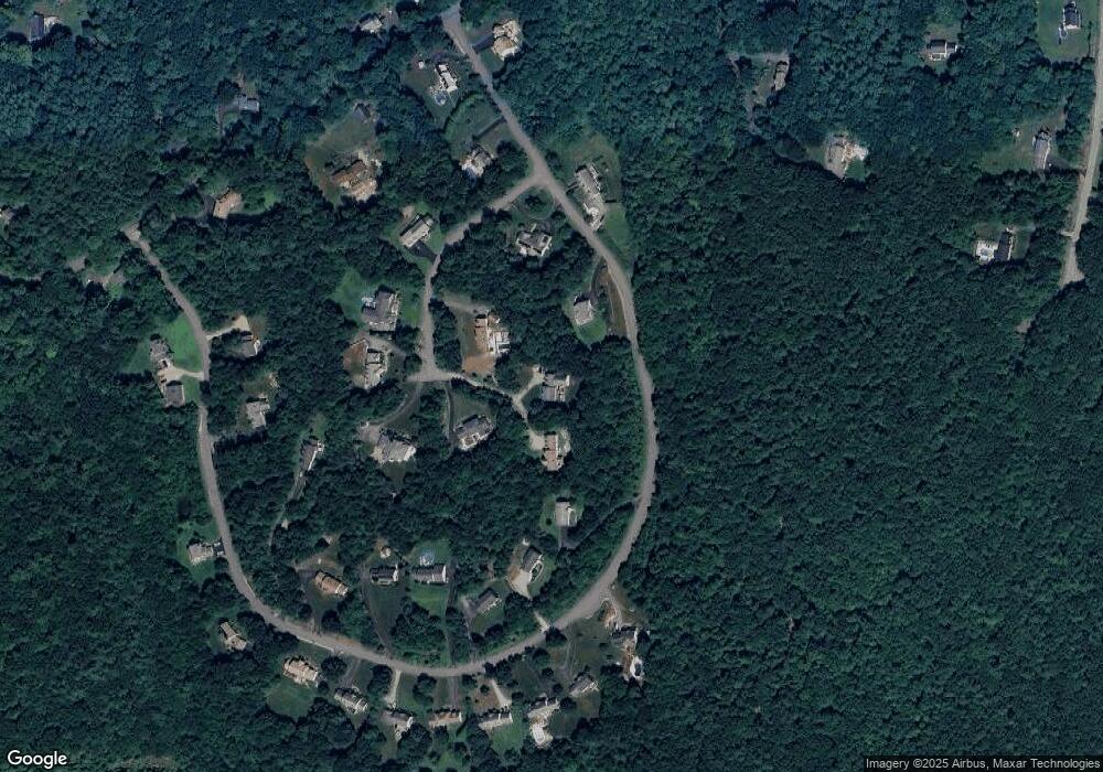
Map
Nearby Homes
- 22 Hobart Hill Rd
- 25 Rocky Pond Rd
- 12 Old Milford Rd
- 5 Carons Way
- 2 Corey Hill Rd
- 18 Sawtelle Rd
- 42 Pepperell Rd
- 4 Bohanon Bridge Rd
- 6 Flint Meadow Dr
- 47 Pepperell Rd
- 23 Austin Ln
- 22 Austin Ln
- 46 Oak Hill Rd
- 91 Deacon Ln
- 55 Oak Hill Rd
- 9 Marjorie Dr
- 84 Irene Dr
- 52 W Hollis Rd
- 59 Cleveland Hill Rd
- 7 Winterberry Rd
- 8B Louis Dr
- 28 Hobart Hill Rd
- 6 Louis Dr
- 10 Louis Dr
- 20 Hobart Hill Rd
- 9 Louis Dr
- 7 Louis Dr
- 5 Louis Dr
- 18 Hobart Hill Rd
- 3 Louis Dr
- 32 Hobart Hill Rd
- 16 Hobart Hill Rd
- 14 Hobart Hill Rd
- 8 Hobart Hill Rd
- 25 Hobart Hill Rd
- 15 Rocky Pond Rd
- 23 Hobart Hill Rd
- 4 Hobart Hill Rd
- 21 Hobart Hill Rd
- 34 Hobart Hill Rd