8N457 Corron Rd Elgin, IL 60124
Bowes NeighborhoodEstimated Value: $508,000 - $705,000
4
Beds
3
Baths
2,917
Sq Ft
$208/Sq Ft
Est. Value
About This Home
This home is located at 8N457 Corron Rd, Elgin, IL 60124 and is currently estimated at $607,715, approximately $208 per square foot. 8N457 Corron Rd is a home located in Kane County with nearby schools including Howard B. Thomas Grade School, Prairie Knolls Middle School, and Central Middle School.
Ownership History
Date
Name
Owned For
Owner Type
Purchase Details
Closed on
Jan 23, 2002
Sold by
Balice Giovanni and Balice Paola
Bought by
Falco Nicola and Falco Gina
Current Estimated Value
Home Financials for this Owner
Home Financials are based on the most recent Mortgage that was taken out on this home.
Original Mortgage
$225,600
Outstanding Balance
$109,520
Interest Rate
9.74%
Estimated Equity
$498,195
Purchase Details
Closed on
Jul 2, 1996
Sold by
Mastrolonardo Anthony and Mastrolonardo Maria
Bought by
Falco Nick and Falco Gina
Create a Home Valuation Report for This Property
The Home Valuation Report is an in-depth analysis detailing your home's value as well as a comparison with similar homes in the area
Home Values in the Area
Average Home Value in this Area
Purchase History
| Date | Buyer | Sale Price | Title Company |
|---|---|---|---|
| Falco Nicola | $282,000 | Ticor Title Insurance | |
| Falco Nick | -- | Chicago Title Insurance Co |
Source: Public Records
Mortgage History
| Date | Status | Borrower | Loan Amount |
|---|---|---|---|
| Open | Falco Nicola | $225,600 |
Source: Public Records
Tax History Compared to Growth
Tax History
| Year | Tax Paid | Tax Assessment Tax Assessment Total Assessment is a certain percentage of the fair market value that is determined by local assessors to be the total taxable value of land and additions on the property. | Land | Improvement |
|---|---|---|---|---|
| 2024 | $10,448 | $141,605 | $33,363 | $108,242 |
| 2023 | $10,061 | $128,094 | $30,182 | $97,912 |
| 2022 | $9,877 | $120,172 | $26,590 | $93,582 |
| 2021 | $9,779 | $115,994 | $25,585 | $90,409 |
| 2020 | $9,742 | $113,791 | $25,007 | $88,784 |
| 2019 | $9,737 | $112,205 | $24,569 | $87,636 |
| 2018 | $9,560 | $110,852 | $27,389 | $83,463 |
| 2017 | $9,212 | $108,040 | $26,613 | $81,427 |
| 2016 | $9,883 | $106,753 | $25,905 | $80,848 |
| 2015 | -- | $103,899 | $25,393 | $78,506 |
| 2014 | -- | $103,836 | $25,330 | $78,506 |
| 2013 | -- | $105,528 | $25,681 | $79,847 |
Source: Public Records
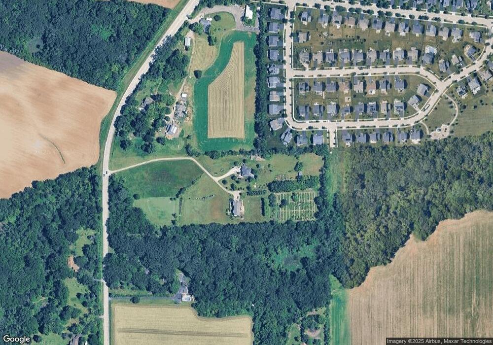
Map
Nearby Homes
- 3689 Thornhill Dr
- 3660 Thornhill Dr
- 3646 Thornhill Dr
- 40W156 Sturbridge Way
- Newcastle Plan at Ponds of Stony Creek - Phase II
- at Ponds of Stony Creek - Phase II
- Windsor Plan at Ponds of Stony Creek - Phase II
- Bluestone Plan at Ponds of Stony Creek - Phase II
- 3616 Sahara Rd
- 3587 Sandstone Cir
- 3608 Sandstone Cir
- 3612 Sandstone Cir
- Auburn Plan at Ponds of Stony Creek - Phase II
- Manchester Plan at Ponds of Stony Creek - Phase II
- Normandy Plan at Ponds of Stony Creek - Phase II
- Ridgefield Plan at Ponds of Stony Creek - Phase II
- 3618 Sahara Rd
- Oxford Plan at Ponds of Stony Creek - Phase II
- 3591 Doral Dr
- 3615 Eldorado Rd
- 8N445 Corron Rd
- 3681 Thornhill Dr
- 3683 Thornhill Dr
- 3679 Thornhill Dr
- 3685 Thornhill Dr
- 3677 Thornhill Dr
- 3687 Thornhill Dr
- 3680 Thornhill Dr
- 8N567 Corron Rd
- 3674 Thornhill Dr
- 3679 Shaughnessy Dr
- 3675 Thornhill Dr
- 3672 Thornhill Dr
- 3691 Thornhill Dr
- 3677 Shaughnessy Dr
- 3673 Thornhill Dr
- 3670 Thornhill Dr
- 3693 Thornhill Dr
- 3675 Shaughnessy Dr
- 3669 Thornhill Dr