8S180 Dunham Dr Naperville, IL 60540
Seven Bridges NeighborhoodEstimated Value: $894,253 - $1,234,000
Studio
--
Bath
3,494
Sq Ft
$293/Sq Ft
Est. Value
About This Home
This home is located at 8S180 Dunham Dr, Naperville, IL 60540 and is currently estimated at $1,023,063, approximately $292 per square foot. 8S180 Dunham Dr is a home located in DuPage County with nearby schools including Ranch View Elementary School, Kennedy Junior High School, and Naperville Central High School.
Ownership History
Date
Name
Owned For
Owner Type
Purchase Details
Closed on
Jul 13, 1994
Sold by
Holm Paul B and Holm Dolores M
Bought by
Denys Daniel E and Denys Doris P
Current Estimated Value
Home Financials for this Owner
Home Financials are based on the most recent Mortgage that was taken out on this home.
Original Mortgage
$347,500
Interest Rate
8.38%
Create a Home Valuation Report for This Property
The Home Valuation Report is an in-depth analysis detailing your home's value as well as a comparison with similar homes in the area
Home Values in the Area
Average Home Value in this Area
Purchase History
We collect this data history from publicly available records. To have your information removed, we recommend requesting removal directly through your county’s website.
| Date | Buyer | Sale Price | Title Company |
|---|---|---|---|
| Denys Daniel E | $437,000 | Wheat Land Title |
Source: Public Records
Mortgage History
We collect this data history from publicly available records. To have your information removed, we recommend requesting removal directly through your county’s website.
| Date | Status | Borrower | Loan Amount |
|---|---|---|---|
| Closed | Denys Daniel E | $347,500 |
Source: Public Records
Tax History
| Year | Tax Paid | Tax Assessment Tax Assessment Total Assessment is a certain percentage of the fair market value that is determined by local assessors to be the total taxable value of land and additions on the property. | Land | Improvement |
|---|---|---|---|---|
| 2024 | $12,737 | $226,766 | $86,429 | $140,337 |
| 2023 | $12,212 | $206,960 | $78,880 | $128,080 |
| 2022 | $11,853 | $198,010 | $75,470 | $122,540 |
| 2021 | $11,352 | $190,530 | $72,620 | $117,910 |
| 2020 | $11,416 | $187,100 | $71,310 | $115,790 |
| 2019 | $11,072 | $179,010 | $68,230 | $110,780 |
| 2018 | $12,138 | $195,560 | $68,230 | $127,330 |
| 2017 | $11,924 | $188,970 | $65,930 | $123,040 |
| 2016 | $12,135 | $188,960 | $65,930 | $123,030 |
| 2015 | $12,041 | $177,950 | $62,090 | $115,860 |
| 2014 | $11,867 | $171,550 | $59,860 | $111,690 |
| 2013 | $11,697 | $171,960 | $60,000 | $111,960 |
Source: Public Records
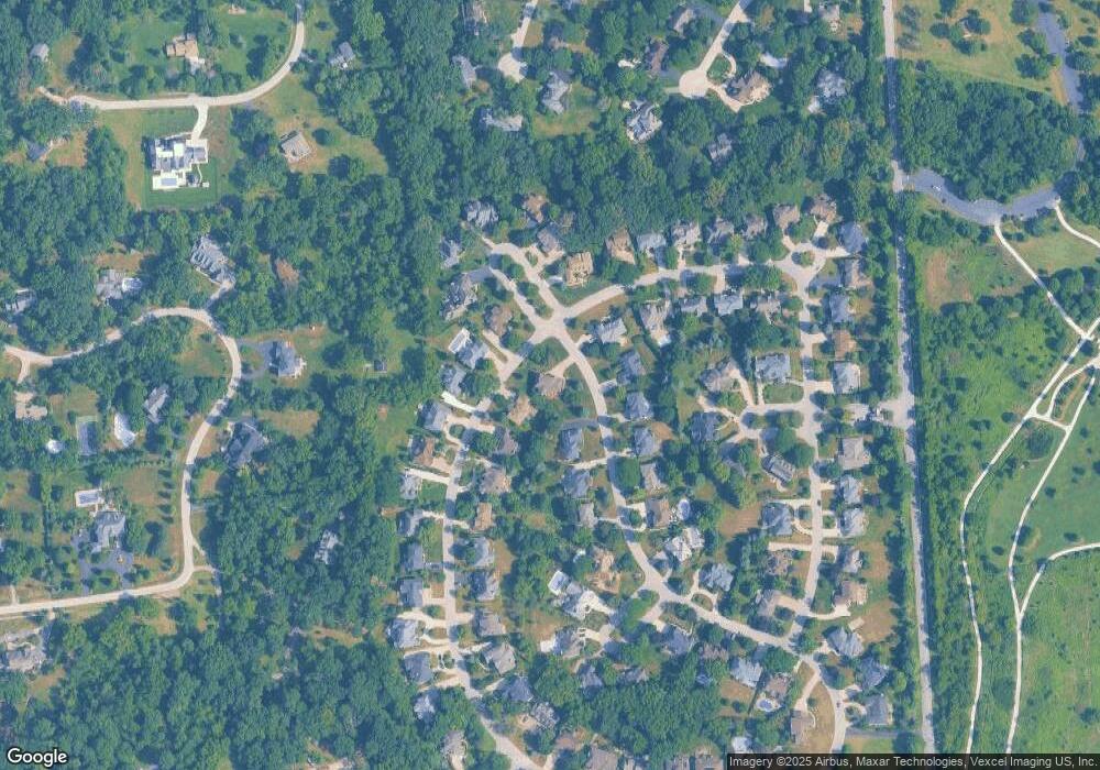
Map
Nearby Homes
- 8S230 Hampton Cir
- 3805 Gladstone Dr
- 9 Brassie Ct Unit 9
- 6621 Greene Rd
- 24W141 Hobson Rd
- 6420 Double Eagle Dr Unit E35
- 6420 Double Eagle Dr Unit 414
- 6304 Snead Ct
- 1816 Appaloosa Dr
- 8S295 College Rd
- 7S460 Donwood Dr W
- 2125 Timbertrails Rd
- 1846 Shetland Rd
- 1736 Ranchview Dr
- 6818 Roberts Dr Unit 3
- 3100 Roberts Dr Unit 5
- 3030 Roberts Dr Unit 5
- 6501 Raintree Ct
- 1611 Mistwood Dr
- 6263 Lafond Cir
- 8S181 Hampton Cir
- 8S220 Dunham Dr
- 8S211 Hampton Cir
- 8S160 Hampton Cir
- 8S177 Dunham Dr
- 8S170 Hampton Cir
- 8S211 Dunham Dr
- 8S180 Hampton Cir
- 8S167 Hampton Cir
- 8S230 Dunham Dr
- 8S225 Hampton Cir
- 8S221 Dunham Dr
- 8S210 Hampton Cir Unit 2
- 23W328 Foxwood Ct
- 1129 Foxwood Ct
- 23W305 Hampton Cir
- 23W380 Foxwood Ct
- 8S240 Dunham Dr
- 8S231 Dunham Dr
- 8S220 Hampton Cir
Your Personal Tour Guide
Ask me questions while you tour the home.