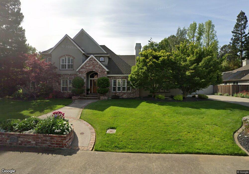
9 Alstan Ct Sacramento, CA 95831
Pocket-Greenhaven NeighborhoodEstimated Value: $583,000 - $1,129,000
3
Beds
3
Baths
3,489
Sq Ft
$258/Sq Ft
Est. Value
About This Home
This home is located at 9 Alstan Ct, Sacramento, CA 95831 and is currently estimated at $900,225, approximately $258 per square foot. 9 Alstan Ct is a home located in Sacramento County with nearby schools including Martin Luther King, Jr School, Sam Brannan Middle School, and John F. Kennedy High School.
Ownership History
Date
Name
Owned For
Owner Type
Purchase Details
Closed on
Feb 14, 2005
Sold by
Crow Richard E and Crow Cynthia B
Bought by
Crow Richard E and Crow Cynthia B
Current Estimated Value
Purchase Details
Closed on
Apr 7, 2000
Sold by
Allen Nathan H
Bought by
Crow Richard E and Crow Cynthia B
Create a Home Valuation Report for This Property
The Home Valuation Report is an in-depth analysis detailing your home's value as well as a comparison with similar homes in the area
Home Values in the Area
Average Home Value in this Area
Purchase History
| Date | Buyer | Sale Price | Title Company |
|---|---|---|---|
| Crow Richard E | -- | -- | |
| Crow Ricahrd E | -- | -- | |
| Crow Richard E | $162,000 | Stewart Title |
Source: Public Records
Tax History Compared to Growth
Tax History
| Year | Tax Paid | Tax Assessment Tax Assessment Total Assessment is a certain percentage of the fair market value that is determined by local assessors to be the total taxable value of land and additions on the property. | Land | Improvement |
|---|---|---|---|---|
| 2025 | $8,198 | $692,157 | $248,976 | $443,181 |
| 2024 | $8,198 | $678,587 | $244,095 | $434,492 |
| 2023 | $7,997 | $665,282 | $239,309 | $425,973 |
| 2022 | $7,881 | $652,238 | $234,617 | $417,621 |
| 2021 | $7,502 | $639,450 | $230,017 | $409,433 |
| 2020 | $7,560 | $632,894 | $227,659 | $405,235 |
| 2019 | $7,400 | $620,486 | $223,196 | $397,290 |
| 2018 | $7,208 | $608,320 | $218,820 | $389,500 |
| 2017 | $7,105 | $596,393 | $214,530 | $381,863 |
| 2016 | $7,028 | $584,700 | $210,324 | $374,376 |
| 2015 | $6,922 | $575,918 | $207,165 | $368,753 |
| 2014 | $6,745 | $564,637 | $203,107 | $361,530 |
Source: Public Records
Map
Nearby Homes
- 26 Marina Grande Ct
- 7232 Bayview Way
- 7262 Harbor Light Way
- 6980 Riverside Blvd
- 0 Riverside Blvd
- 487 Twin River Way
- 462 de Mar Dr
- 10 Fleet Ct
- 22 Basil Ct
- 4 Marina Blue Ct
- 4 Bingham Cir
- 763 La Contenta Way
- 14 Westlite Ct
- 7922 Collins Isle Ln
- 7371 Windbridge Dr
- 1 Sandpointe Ct
- 14 Morningsun Ct
- 792 Parklin Ave
- 857 Lake Front Dr
- 52415-52979 S River Rd
- 15 Alstan Ct
- 10 Alstan Ct
- 14 Alstan Ct
- 6 Alstan Ct
- 1 Alstan Ct
- 19 Alstan Ct
- 270 Portinao Cir
- 280 Portinao Cir
- 260 Portinao Cir
- 18 Alstan Ct
- 7230 Pocket Rd
- 240 Portinao Cir
- 290 Portinao Cir
- 7250 Pocket Rd
- 230 Portinao Cir
- 300 Portinao Cir
- 220 Portinao Cir
- 210 Portinao Cir
- 310 Portinao Cir
- 281 Portinao Cir