9 Apache Trail Weston, MA 02493
Estimated Value: $2,697,000 - $3,265,000
5
Beds
7
Baths
5,952
Sq Ft
$486/Sq Ft
Est. Value
About This Home
This home is located at 9 Apache Trail, Weston, MA 02493 and is currently estimated at $2,893,579, approximately $486 per square foot. 9 Apache Trail is a home with nearby schools including Wayland High School.
Ownership History
Date
Name
Owned For
Owner Type
Purchase Details
Closed on
Dec 22, 2003
Sold by
Desai Vikas S and Desai Nitigna V
Bought by
Nitigna V Desai Ret
Current Estimated Value
Purchase Details
Closed on
Jun 19, 2000
Sold by
Coletti Ft
Bought by
Desai Vikas S and Desai Nitigna
Home Financials for this Owner
Home Financials are based on the most recent Mortgage that was taken out on this home.
Original Mortgage
$700,000
Interest Rate
8.24%
Mortgage Type
Purchase Money Mortgage
Create a Home Valuation Report for This Property
The Home Valuation Report is an in-depth analysis detailing your home's value as well as a comparison with similar homes in the area
Home Values in the Area
Average Home Value in this Area
Purchase History
| Date | Buyer | Sale Price | Title Company |
|---|---|---|---|
| Nitigna V Desai Ret | -- | -- | |
| Desai Vikas S | $925,000 | -- |
Source: Public Records
Mortgage History
| Date | Status | Borrower | Loan Amount |
|---|---|---|---|
| Closed | Desai Vikas S | $310,000 | |
| Previous Owner | Desai Vikas S | $100,000 | |
| Previous Owner | Desai Vikas S | $700,000 | |
| Previous Owner | Desai Vikas S | $200,000 |
Source: Public Records
Tax History
| Year | Tax Paid | Tax Assessment Tax Assessment Total Assessment is a certain percentage of the fair market value that is determined by local assessors to be the total taxable value of land and additions on the property. | Land | Improvement |
|---|---|---|---|---|
| 2025 | $32,646 | $2,088,700 | $679,700 | $1,409,000 |
| 2024 | $30,928 | $1,992,800 | $647,100 | $1,345,700 |
| 2023 | $29,139 | $1,750,100 | $588,100 | $1,162,000 |
| 2022 | $28,806 | $1,569,800 | $487,100 | $1,082,700 |
| 2021 | $28,256 | $1,525,700 | $443,000 | $1,082,700 |
| 2020 | $27,269 | $1,535,400 | $443,000 | $1,092,400 |
| 2019 | $25,965 | $1,420,400 | $422,000 | $998,400 |
| 2018 | $25,428 | $1,410,300 | $422,000 | $988,300 |
| 2017 | $24,240 | $1,336,300 | $408,800 | $927,500 |
| 2016 | $22,681 | $1,308,000 | $417,900 | $890,100 |
| 2015 | $22,816 | $1,240,700 | $417,900 | $822,800 |
Source: Public Records
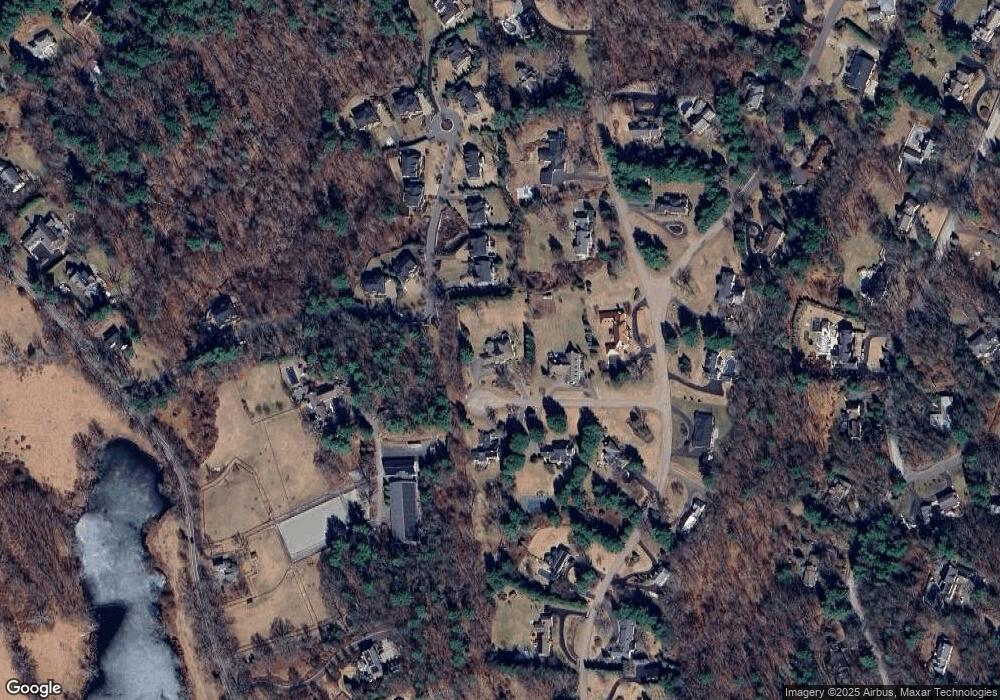
Map
Nearby Homes
- 23 Covered Bridge Ln
- 233 Rice Rd
- 10 Audubon Rd
- 21 Westerly Rd
- 231 Westerly Rd
- 1203 Magnolia Dr Unit 1203
- 54 Old Connecticut Path
- 9 Sanderson Ln
- 6 Dairy Farm Ln
- 4 Essex
- 253 Highland St
- 205 Hayfield Ln Unit 205
- 180 Highland St
- 286 Country Dr
- 15 Claridge Dr
- 13 Rich Valley Rd
- 823 Boston Post Rd
- 16 Coltsway Unit 16CW
- 16 Livermore Ln
- 16 Livermore Ln Unit 16
- 5 Apache Trail
- 21 Covered Bridge Ln
- 10 Apache Trail
- 153 Buckskin Dr
- 4 Apache Trail
- 20 Covered Bridge Ln
- 33 Whispering Ln
- 139 Buckskin Dr
- 139 Buckskin Dr Unit 1
- 25 Covered Bridge Ln
- 18 Covered Bridge Ln
- 145 Buckskin Dr
- 24 Covered Bridge Ln
- 205 Rice Rd
- 146 Buckskin Dr
- 29 Whispering Ln
- 29 Whispering Ln
- 26 Covered Bridge Ln
- 149 Buckskin Dr
- 138 Buckskin Dr
Your Personal Tour Guide
Ask me questions while you tour the home.