9 Apple Ln Independence, KY 41051
Estimated Value: $499,000 - $609,000
3
Beds
3
Baths
2,275
Sq Ft
$244/Sq Ft
Est. Value
About This Home
This home is located at 9 Apple Ln, Independence, KY 41051 and is currently estimated at $554,717, approximately $243 per square foot. 9 Apple Ln is a home located in Kenton County with nearby schools including Kenton Elementary School, Twenhofel Middle School, and Simon Kenton High School.
Ownership History
Date
Name
Owned For
Owner Type
Purchase Details
Closed on
May 22, 2020
Sold by
Wayman Charlotte
Bought by
Roark Anthony A and Roark Mary Ann
Current Estimated Value
Purchase Details
Closed on
Sep 11, 2015
Sold by
Wayman Michael A and Wayman Charlotte
Bought by
Wayman Michael A and Wayman Charlotte
Purchase Details
Closed on
Aug 3, 2015
Sold by
Wayman Aaron J and Wayman Martha A
Bought by
Wayman Michael A and Wayman Charlotte
Create a Home Valuation Report for This Property
The Home Valuation Report is an in-depth analysis detailing your home's value as well as a comparison with similar homes in the area
Home Values in the Area
Average Home Value in this Area
Purchase History
| Date | Buyer | Sale Price | Title Company |
|---|---|---|---|
| Roark Anthony A | $426,000 | None Available | |
| Wayman Michael A | -- | Kentucky Land Title Agency | |
| Wayman Michael A | -- | Ky Land Title Agency Inc | |
| Wayman Michael A | -- | Ky Land Title Agency Inc |
Source: Public Records
Tax History
| Year | Tax Paid | Tax Assessment Tax Assessment Total Assessment is a certain percentage of the fair market value that is determined by local assessors to be the total taxable value of land and additions on the property. | Land | Improvement |
|---|---|---|---|---|
| 2025 | $5,044 | $433,700 | $40,000 | $393,700 |
| 2024 | $5,219 | $426,000 | $40,000 | $386,000 |
| 2023 | $5,376 | $426,000 | $40,000 | $386,000 |
| 2022 | $5,419 | $426,000 | $40,000 | $386,000 |
| 2021 | $5,500 | $426,000 | $40,000 | $386,000 |
| 2020 | $3,520 | $264,800 | $30,000 | $234,800 |
| 2019 | $3,530 | $264,800 | $30,000 | $234,800 |
| 2018 | $3,549 | $264,800 | $30,000 | $234,800 |
| 2017 | $3,451 | $264,800 | $30,000 | $234,800 |
| 2015 | $2,990 | $235,300 | $35,000 | $200,300 |
| 2014 | $2,948 | $235,300 | $35,000 | $200,300 |
Source: Public Records
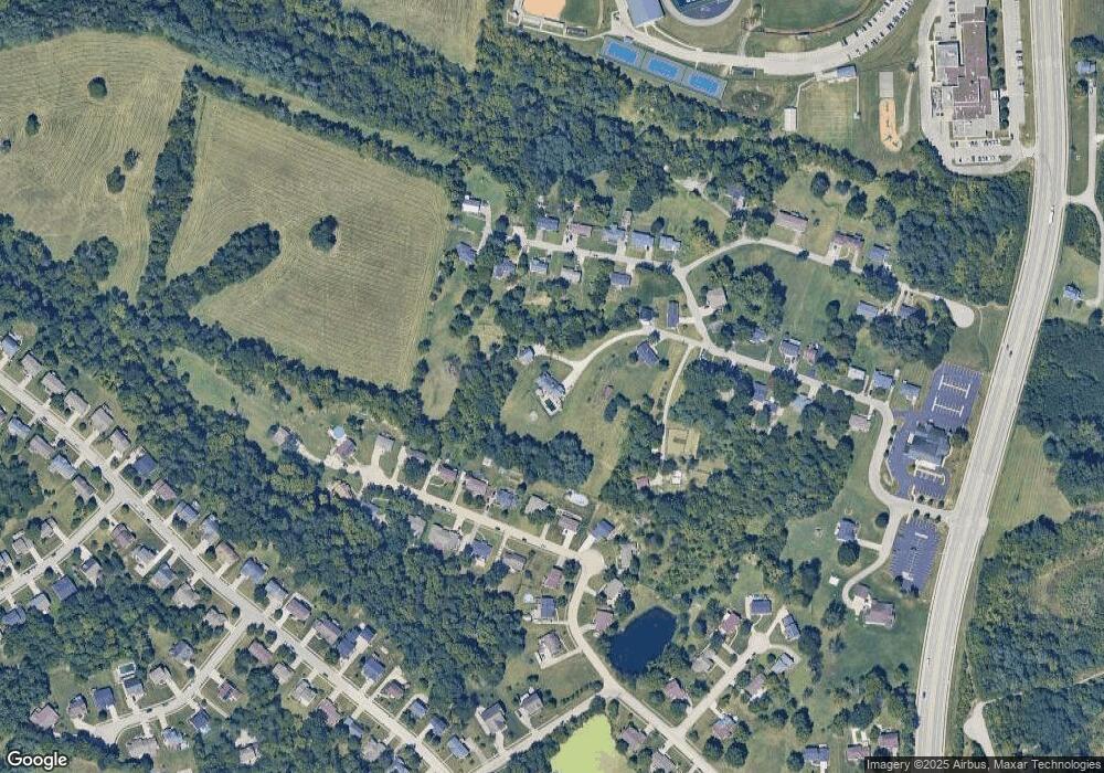
Map
Nearby Homes
- 56 Apple Dr Unit A
- 11553 Allaire Ct
- 11556 Allaire Ct
- 1708 Relway Dr
- 11147 Stafford Heights Rd
- 10737 Cypresswood Dr
- 8382 Greenmere Cir
- 1427 Rosewynne Way
- 1436 Rosewynne Way
- 11079 Woodmont Way
- 11079 Woodmont Way
- 12009 Hickory Grove Dr
- 1422 Greenoaks Dr
- 11108 Woodmont Way
- 11061 Pinebrook Place
- 1422 Greenoaks Dr
- 11050 Pinebrook Place
- 11108 Woodmont Way
- 1372 Independence Rd
- 1372 Independence Rd
Your Personal Tour Guide
Ask me questions while you tour the home.