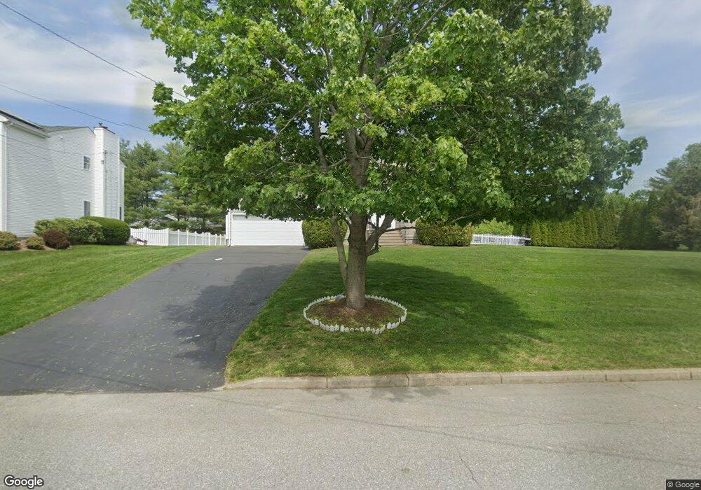
9 Ashbrook Dr Cranston, RI 02921
Western Cranston NeighborhoodEstimated Value: $701,000 - $899,000
4
Beds
3
Baths
3,000
Sq Ft
$264/Sq Ft
Est. Value
About This Home
This home is located at 9 Ashbrook Dr, Cranston, RI 02921 and is currently estimated at $791,670, approximately $263 per square foot. 9 Ashbrook Dr is a home located in Providence County with nearby schools including Orchard Farms El. School, Hope Highlands Middle School, and Cranston High School West.
Ownership History
Date
Name
Owned For
Owner Type
Purchase Details
Closed on
Aug 24, 1998
Sold by
J G P Builders Inc
Bought by
Hunsinger Richard E
Current Estimated Value
Create a Home Valuation Report for This Property
The Home Valuation Report is an in-depth analysis detailing your home's value as well as a comparison with similar homes in the area
Home Values in the Area
Average Home Value in this Area
Purchase History
| Date | Buyer | Sale Price | Title Company |
|---|---|---|---|
| Hunsinger Richard E | $190,000 | -- |
Source: Public Records
Mortgage History
| Date | Status | Borrower | Loan Amount |
|---|---|---|---|
| Open | Hunsinger Richard E | $92,700 | |
| Open | Hunsinger Richard E | $234,000 | |
| Closed | Hunsinger Richard E | $252,480 |
Source: Public Records
Tax History
| Year | Tax Paid | Tax Assessment Tax Assessment Total Assessment is a certain percentage of the fair market value that is determined by local assessors to be the total taxable value of land and additions on the property. | Land | Improvement |
|---|---|---|---|---|
| 2025 | $7,287 | $525,000 | $173,400 | $351,600 |
| 2024 | $7,145 | $525,000 | $173,400 | $351,600 |
| 2023 | $7,458 | $394,600 | $119,500 | $275,100 |
| 2022 | $7,304 | $394,600 | $119,500 | $275,100 |
| 2021 | $7,103 | $394,600 | $119,500 | $275,100 |
| 2020 | $7,334 | $353,100 | $132,300 | $220,800 |
| 2019 | $7,334 | $353,100 | $132,300 | $220,800 |
| 2018 | $1,905 | $353,100 | $132,300 | $220,800 |
| 2017 | $7,194 | $313,600 | $132,300 | $181,300 |
| 2016 | $7,040 | $313,600 | $132,300 | $181,300 |
| 2015 | $7,040 | $313,600 | $132,300 | $181,300 |
| 2014 | $6,411 | $280,700 | $106,700 | $174,000 |
Source: Public Records
Map
Nearby Homes
- 121 Ashbrook Dr
- 0 Anthony Dr Unit 1394338
- 102 Moccasin Trail
- 68 Fox Run
- 18 Quail Ridge Rd
- 311 Hope Rd
- 12 Beechwood Dr
- 02 Paula Ln
- 01 Paula Ln
- 70 Ellen Ln
- 154 Beechwood Dr
- 3 Equestrian Ln
- 141 Fox Ridge Dr
- 5 Elizabeth Ln
- 1213 Phenix Ave
- 59 Camden Ln
- 64 Cardinal Rd
- 74 Cardinal Rd
- 20 Doreen Ct
- 2202 Scituate Ave
- 17 Ashbrook Dr
- 28 Orchard Valley Dr
- 3 Ashbrook Dr
- 0 Orchard Valley Dr
- 16 Ashbrook Dr
- 2 Mulberry Dr
- 10 Ashbrook Dr
- 14 Paddock Dr
- 33 Orchard Valley Dr
- 0 Ashbrook Dr
- 25 Orchard Valley Dr
- 16 Orchard Valley Dr
- 10 Paddock Dr
- 23 Ashbrook Dr
- 39 Orchard Valley Dr
- 9 Mulberry Dr
- 5 Mulberry Dr
- 45 Orchard Valley Dr
- 24 Woods Ln
- 10 Orchard Valley Dr