9 Attix Rd Hattiesburg, MS 39401
Estimated Value: $266,485 - $358,000
--
Bed
--
Bath
2,300
Sq Ft
$134/Sq Ft
Est. Value
About This Home
This home is located at 9 Attix Rd, Hattiesburg, MS 39401 and is currently estimated at $307,371, approximately $133 per square foot. 9 Attix Rd is a home located in Forrest County with nearby schools including South Forrest Attendance Center and North Forrest High School.
Ownership History
Date
Name
Owned For
Owner Type
Purchase Details
Closed on
Aug 1, 2024
Sold by
Wilberding Sable Burt and Wilberding Chris
Bought by
Ficken Mary Claire and Boone William Robert
Current Estimated Value
Purchase Details
Closed on
Feb 10, 2022
Sold by
Sable Wilberding
Bought by
Wilberding Sable Burt
Purchase Details
Closed on
Feb 1, 2022
Sold by
Sable Wilberding
Bought by
Pendarvis Emily Burt
Purchase Details
Closed on
Jan 1, 2022
Sold by
Sable Wilberding
Bought by
Wilberding Lauren
Create a Home Valuation Report for This Property
The Home Valuation Report is an in-depth analysis detailing your home's value as well as a comparison with similar homes in the area
Home Values in the Area
Average Home Value in this Area
Purchase History
| Date | Buyer | Sale Price | Title Company |
|---|---|---|---|
| Ficken Mary Claire | -- | None Listed On Document | |
| Wilberding Sable Burt | -- | None Listed On Document | |
| Wilberding Sable Burt | -- | None Listed On Document | |
| Pendarvis Emily Burt | -- | Travis & Travis Pllc | |
| Pendarvis Emily Burt | -- | None Listed On Document | |
| Wilberding Lauren | -- | Travis & Travis Pllc | |
| Wilberding Lauren | -- | None Listed On Document |
Source: Public Records
Tax History Compared to Growth
Tax History
| Year | Tax Paid | Tax Assessment Tax Assessment Total Assessment is a certain percentage of the fair market value that is determined by local assessors to be the total taxable value of land and additions on the property. | Land | Improvement |
|---|---|---|---|---|
| 2024 | $865 | $14,435 | $0 | $0 |
| 2023 | $865 | $143,990 | $0 | $0 |
| 2022 | $842 | $14,444 | $0 | $0 |
| 2021 | $843 | $14,450 | $0 | $0 |
| 2020 | $1,401 | $13,984 | $0 | $0 |
| 2019 | $1,397 | $13,990 | $0 | $0 |
| 2018 | $1,401 | $13,996 | $0 | $0 |
| 2017 | $1,400 | $13,990 | $0 | $0 |
| 2016 | $1,324 | $13,288 | $0 | $0 |
| 2015 | $1,305 | $132,824 | $0 | $0 |
| 2014 | $1,301 | $13,271 | $0 | $0 |
Source: Public Records
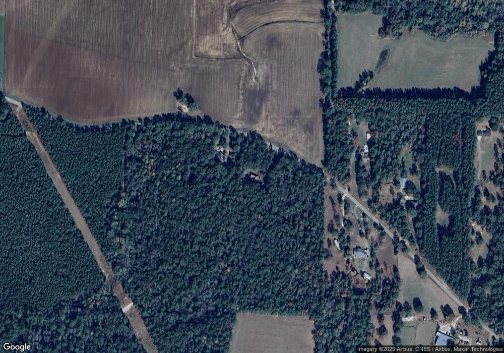
Map
Nearby Homes
- 104.06 ac Cozy Corner and Old Hwy 49
- 718 Camp Dantzler Rd
- 82 Landing Rd
- 5 Old Hwy 49 W
- 67 Main Ave
- 26 W Thompson Rd
- 191 Old Highway 49 W
- 6 Wandering Oaks Ln
- 115 Wilderness Run
- 0 Rockhill Rd
- No Aron Clemts Rd
- 50 AC Aron Clemts Rd
- 290 Brooklyn Janice Rd
- 142 App Slade Rd
- 000 Rockhill To Lumberton Rd
- 363 Rockhill To Lumberton Rd
- 51 Rock Rd
- 22 Bedford Forrest Ln
- NHN Larry Goff Rd
- 9 Larry Goff Rd
- 8 Attix Rd
- 445 J B Horne Rd
- 426 J B Horne Rd
- 404 J B Horne Rd
- 402 J B Horne Rd
- 399 J B Horne Rd
- 45 A C Jones Rd
- 45 A C Jones Rd
- 31 A C Jones Rd
- 424 J B Horne Rd
- 46 A C Jones Rd
- 579 J B Horne Rd
- 385 J B Horne Rd
- 386 J B Horne Rd
- 343 Pearces Rd
- 716 J B Horne Rd
- [1-99] Trotter Rd
- 18 Seburn Rd
- 363 J B Horne Rd
- 18 Trotter Rd