9 Back Nine Dr Haverhill, MA 01832
North Broadway NeighborhoodEstimated Value: $759,745 - $980,000
3
Beds
3
Baths
2,200
Sq Ft
$381/Sq Ft
Est. Value
About This Home
This home is located at 9 Back Nine Dr, Haverhill, MA 01832 and is currently estimated at $837,686, approximately $380 per square foot. 9 Back Nine Dr is a home located in Essex County with nearby schools including Tilton Elementary School, Silver Hill Elementary School, and Hilltop School.
Ownership History
Date
Name
Owned For
Owner Type
Purchase Details
Closed on
Jul 18, 2011
Sold by
Premiere Rt
Bought by
Sandres Ruth E
Current Estimated Value
Home Financials for this Owner
Home Financials are based on the most recent Mortgage that was taken out on this home.
Original Mortgage
$125,000
Outstanding Balance
$9,415
Interest Rate
4.58%
Mortgage Type
Purchase Money Mortgage
Estimated Equity
$828,271
Create a Home Valuation Report for This Property
The Home Valuation Report is an in-depth analysis detailing your home's value as well as a comparison with similar homes in the area
Home Values in the Area
Average Home Value in this Area
Purchase History
| Date | Buyer | Sale Price | Title Company |
|---|---|---|---|
| Sandres Ruth E | $458,000 | -- |
Source: Public Records
Mortgage History
| Date | Status | Borrower | Loan Amount |
|---|---|---|---|
| Open | Sandres Ruth E | $125,000 |
Source: Public Records
Tax History Compared to Growth
Tax History
| Year | Tax Paid | Tax Assessment Tax Assessment Total Assessment is a certain percentage of the fair market value that is determined by local assessors to be the total taxable value of land and additions on the property. | Land | Improvement |
|---|---|---|---|---|
| 2025 | $7,792 | $727,500 | $168,900 | $558,600 |
| 2024 | $7,522 | $707,000 | $164,200 | $542,800 |
| 2023 | $7,181 | $644,000 | $164,200 | $479,800 |
| 2022 | $7,084 | $556,900 | $164,200 | $392,700 |
| 2021 | $6,923 | $515,100 | $154,900 | $360,200 |
| 2020 | $7,005 | $515,100 | $154,900 | $360,200 |
| 2019 | $6,926 | $496,500 | $136,300 | $360,200 |
| 2018 | $6,688 | $469,000 | $131,700 | $337,300 |
| 2017 | $6,617 | $441,400 | $123,900 | $317,500 |
| 2016 | $6,677 | $434,700 | $123,900 | $310,800 |
| 2015 | $6,673 | $434,700 | $123,900 | $310,800 |
Source: Public Records
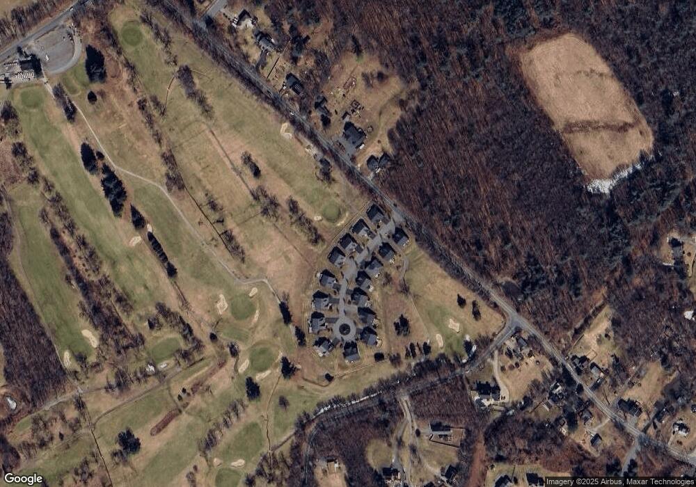
Map
Nearby Homes
- 51 Front Nine Dr
- 458 Lake St
- 450 Lake St
- 4 Country Meadow Rd
- 1131 N Broadway
- 48 Coolidge Ave
- 2 N Broadway
- 4 Forest Rd
- 28 Emma Rose Cir Unit Lot 2
- 186 Mohawk Trail
- 11 Sleepy Hollow Rd
- 1 W Parish Ct
- 12 Perkins Ct Unit 12
- 5 Maple Ave
- 43 W Parish Ct Unit 30-A
- 16 W Parish Ct
- 63 Main St
- 216 Morgan Dr Unit 216
- 43 Mercury Terrace
- 0 Plaistow Rd Unit 73184617
- Lot 16 Back Nine Dr
- Lot 14 Back Nine Dr
- Lot 4 Back Nine Dr
- Lot 6 Back Nine Dr
- Lot 10 Back Nine Dr
- Lot 3 Back Nine Dr
- 13 Back Nine Dr
- 13 Back Nine Dr
- 12 Back Nine Dr
- 1 Back Nine Dr
- 6 Back Nine Dr
- 1 Back Nine Dr
- 14 Back Nine Dr
- 19 Back Nine Dr
- 1 (lot 1) Back Nine Dr
- 2 Back Nine Dr
- 2 Back Nine Dr
- 18 Back Nine Dr
- 21 Back Nine Dr
- 22 Back Nine Dr