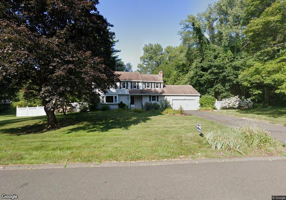
9 Banbury Rd West Simsbury, CT 06092
Estimated Value: $553,000 - $738,000
4
Beds
3
Baths
2,160
Sq Ft
$287/Sq Ft
Est. Value
About This Home
This home is located at 9 Banbury Rd, West Simsbury, CT 06092 and is currently estimated at $619,265, approximately $286 per square foot. 9 Banbury Rd is a home located in Hartford County with nearby schools including Tootin' Hills School, Henry James Memorial School, and Simsbury High School.
Ownership History
Date
Name
Owned For
Owner Type
Purchase Details
Closed on
Nov 1, 2007
Sold by
Maguire Lisa A
Bought by
Adhikary Deepak and Saha Sanhita
Current Estimated Value
Home Financials for this Owner
Home Financials are based on the most recent Mortgage that was taken out on this home.
Original Mortgage
$337,500
Interest Rate
6.43%
Purchase Details
Closed on
Sep 9, 2003
Sold by
Grebe Brian and Grebe Renee M
Bought by
Evangelista Lisa A
Purchase Details
Closed on
Jun 30, 2000
Sold by
Levy John A and Levy Sylvia H
Bought by
Grebe Brian and Grebe Renee M
Create a Home Valuation Report for This Property
The Home Valuation Report is an in-depth analysis detailing your home's value as well as a comparison with similar homes in the area
Home Values in the Area
Average Home Value in this Area
Purchase History
| Date | Buyer | Sale Price | Title Company |
|---|---|---|---|
| Adhikary Deepak | $375,000 | -- | |
| Evangelista Lisa A | $330,000 | -- | |
| Grebe Brian | $278,000 | -- |
Source: Public Records
Mortgage History
| Date | Status | Borrower | Loan Amount |
|---|---|---|---|
| Open | Grebe Brian | $297,000 | |
| Closed | Grebe Brian | $337,600 | |
| Closed | Grebe Brian | $337,500 |
Source: Public Records
Tax History Compared to Growth
Tax History
| Year | Tax Paid | Tax Assessment Tax Assessment Total Assessment is a certain percentage of the fair market value that is determined by local assessors to be the total taxable value of land and additions on the property. | Land | Improvement |
|---|---|---|---|---|
| 2025 | $10,038 | $293,860 | $91,070 | $202,790 |
| 2024 | $9,788 | $293,860 | $91,070 | $202,790 |
| 2023 | $9,351 | $293,860 | $91,070 | $202,790 |
| 2022 | $8,983 | $232,540 | $96,020 | $136,520 |
| 2021 | $8,983 | $232,540 | $96,020 | $136,520 |
| 2020 | $8,625 | $232,540 | $96,020 | $136,520 |
| 2019 | $8,678 | $232,540 | $96,020 | $136,520 |
| 2018 | $8,741 | $232,540 | $96,020 | $136,520 |
| 2017 | $7,861 | $202,810 | $80,670 | $122,140 |
| 2016 | $7,528 | $202,810 | $80,670 | $122,140 |
| 2015 | $7,528 | $202,810 | $80,670 | $122,140 |
| 2014 | $7,532 | $202,810 | $80,670 | $122,140 |
Source: Public Records
Map
Nearby Homes
- 269 W Mountain Rd
- 8 Quorn Hunt Rd
- 121 Gracey Rd
- 10 Sachems Trail
- 23 Red Fox Run
- 15 Red Fox Run
- 395 Bushy Hill Rd
- 6 Highwood Rd
- 42 Garrett Rd
- 301 Bushy Hill Rd
- 143 N Mountain Rd
- 265 E Hill Rd
- 47 Long View Dr
- 370A W Mountain Rd
- 21 Christmas Tree Hill
- 41 Applegate Ln
- 3 Applegate Ln Unit 3
- 31 Applegate Ln Unit 31
- 49 Applegate Ln Unit 49
- 10 Mountain Spring Rd