9 Bates Grove Rd Webster, MA 01570
Estimated Value: $1,822,000 - $2,064,008
5
Beds
4
Baths
11,048
Sq Ft
$173/Sq Ft
Est. Value
About This Home
This home is located at 9 Bates Grove Rd, Webster, MA 01570 and is currently estimated at $1,915,003, approximately $173 per square foot. 9 Bates Grove Rd is a home located in Worcester County with nearby schools including Park Avenue Elementary School, Webster Middle School, and Bartlett High School.
Ownership History
Date
Name
Owned For
Owner Type
Purchase Details
Closed on
Jul 30, 2014
Sold by
Dumas Realty Llc
Bought by
Dumas 3Rd George P
Current Estimated Value
Home Financials for this Owner
Home Financials are based on the most recent Mortgage that was taken out on this home.
Original Mortgage
$168,000
Outstanding Balance
$128,434
Interest Rate
4.18%
Mortgage Type
New Conventional
Estimated Equity
$1,786,569
Purchase Details
Closed on
Dec 12, 2008
Sold by
Dumas George P
Bought by
Dumas Realty Llc
Purchase Details
Closed on
Mar 22, 1995
Sold by
Buchka Olga
Bought by
Dumas George
Purchase Details
Closed on
Dec 5, 1994
Sold by
Cohen Jeffrey D and Cohen Polly
Bought by
Dumas George
Home Financials for this Owner
Home Financials are based on the most recent Mortgage that was taken out on this home.
Original Mortgage
$168,000
Interest Rate
8.81%
Mortgage Type
Purchase Money Mortgage
Create a Home Valuation Report for This Property
The Home Valuation Report is an in-depth analysis detailing your home's value as well as a comparison with similar homes in the area
Home Values in the Area
Average Home Value in this Area
Purchase History
| Date | Buyer | Sale Price | Title Company |
|---|---|---|---|
| Dumas 3Rd George P | -- | -- | |
| Dumas Realty Llc | -- | -- | |
| Dumas George | $5,000 | -- | |
| Dumas George | $240,000 | -- |
Source: Public Records
Mortgage History
| Date | Status | Borrower | Loan Amount |
|---|---|---|---|
| Open | Dumas 3Rd George P | $168,000 | |
| Previous Owner | Dumas George | $20,000 | |
| Previous Owner | Dumas George | $30,000 | |
| Previous Owner | Dumas George | $168,000 |
Source: Public Records
Tax History
| Year | Tax Paid | Tax Assessment Tax Assessment Total Assessment is a certain percentage of the fair market value that is determined by local assessors to be the total taxable value of land and additions on the property. | Land | Improvement |
|---|---|---|---|---|
| 2025 | $23,920 | $2,013,500 | $530,500 | $1,483,000 |
| 2024 | $25,332 | $2,079,800 | $461,600 | $1,618,200 |
| 2023 | $26,329 | $2,106,300 | $439,500 | $1,666,800 |
| 2022 | $27,003 | $1,934,300 | $390,900 | $1,543,400 |
| 2021 | $27,683 | $1,833,300 | $390,900 | $1,442,400 |
| 2020 | $30,890 | $2,051,100 | $390,900 | $1,660,200 |
| 2019 | $34,545 | $2,253,400 | $390,900 | $1,862,500 |
| 2018 | $31,449 | $2,043,500 | $390,900 | $1,652,600 |
| 2017 | $26,910 | $1,778,600 | $396,000 | $1,382,600 |
| 2016 | $26,322 | $1,738,600 | $341,000 | $1,397,600 |
| 2015 | $25,918 | $1,765,500 | $334,300 | $1,431,200 |
Source: Public Records
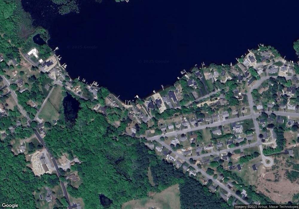
Map
Nearby Homes
- 13 S Point Rd
- 53-55 Point Pleasant Rd
- 26 Wakefield Ave
- 24 Cooper Rd
- 0 Thompson Rd
- 10 Indian Point Rd
- 0 Porter Plain Rd
- 171 Upper Gore Rd
- 125 Birch Island Rd
- 36 Lake Pkwy
- 27 Ash St
- 16 Hilltop Dr
- 23 Lakeview Rd
- 00 Juniper Ln
- 3 Upper Gore Rd
- 51 &52 lot Oscar Rd
- 27 Douglas Rd
- 117 New Rd
- 121 New Rd
- 149 A Gore Rd
- 7 Bates Grove Rd
- 5 Bates Grove Rd
- 13 Bates Grove Rd
- 3 Bates Grove Rd
- 38 Elaine St
- 42 Elaine St
- 40 Elaine St
- 1 Bates Grove Rd
- 38 Elaine St
- 36 Elaine St
- 19 Bates Grove Rd
- 34 Elaine St
- 77 Bonnette Ave
- 1R Bates Grove Rd
- 32 Elaine St
- 75 Bonnette Ave
- 21 Bates Grove Rd
- 0 Elaine St Unit G670871
- 0 Elaine St Unit G10059260
- 0 Elaine St
Your Personal Tour Guide
Ask me questions while you tour the home.