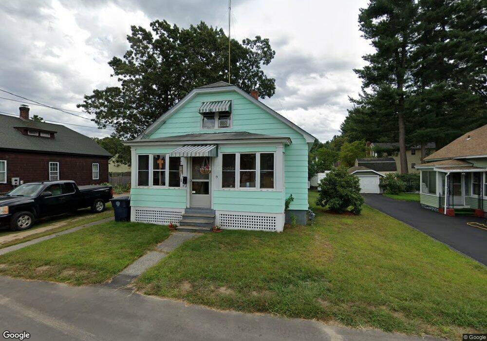
9 Bell St Unit 1011 Nashua, NH 03064
Northeast Nashua NeighborhoodEstimated Value: $450,000 - $477,000
3
Beds
3
Baths
1,244
Sq Ft
$375/Sq Ft
Est. Value
About This Home
This home is located at 9 Bell St Unit 1011, Nashua, NH 03064 and is currently estimated at $465,908, approximately $374 per square foot. 9 Bell St Unit 1011 is a home located in Hillsborough County with nearby schools including Charlotte Ave Elementary School, Pennichuck Middle School, and Nashua High School North.
Ownership History
Date
Name
Owned For
Owner Type
Purchase Details
Closed on
Dec 22, 1997
Sold by
Ferryall Dorothy
Bought by
Bourque Kenneth A and Bourque Carolyn M
Current Estimated Value
Home Financials for this Owner
Home Financials are based on the most recent Mortgage that was taken out on this home.
Original Mortgage
$84,407
Outstanding Balance
$14,167
Interest Rate
7.14%
Mortgage Type
Purchase Money Mortgage
Estimated Equity
$451,741
Create a Home Valuation Report for This Property
The Home Valuation Report is an in-depth analysis detailing your home's value as well as a comparison with similar homes in the area
Home Values in the Area
Average Home Value in this Area
Purchase History
| Date | Buyer | Sale Price | Title Company |
|---|---|---|---|
| Bourque Kenneth A | $84,900 | -- |
Source: Public Records
Mortgage History
| Date | Status | Borrower | Loan Amount |
|---|---|---|---|
| Open | Bourque Kenneth A | $25,000 | |
| Open | Bourque Kenneth A | $84,407 |
Source: Public Records
Tax History Compared to Growth
Tax History
| Year | Tax Paid | Tax Assessment Tax Assessment Total Assessment is a certain percentage of the fair market value that is determined by local assessors to be the total taxable value of land and additions on the property. | Land | Improvement |
|---|---|---|---|---|
| 2024 | $6,141 | $386,200 | $154,100 | $232,100 |
| 2023 | $6,164 | $338,100 | $123,300 | $214,800 |
| 2022 | $6,109 | $338,100 | $123,300 | $214,800 |
| 2021 | $5,241 | $225,700 | $82,200 | $143,500 |
| 2020 | $3,364 | $227,300 | $82,200 | $145,100 |
| 2019 | $3,317 | $227,300 | $82,200 | $145,100 |
| 2018 | $4,821 | $227,300 | $82,200 | $145,100 |
| 2017 | $4,544 | $176,200 | $63,500 | $112,700 |
| 2016 | $4,417 | $176,200 | $63,500 | $112,700 |
| 2015 | $4,322 | $176,200 | $63,500 | $112,700 |
| 2014 | $4,238 | $176,200 | $63,500 | $112,700 |
Source: Public Records
Map
Nearby Homes
- 12 Bell St Unit 100103
- 9 Elystan Cir
- 16 Cassandra Ln
- 113 Concord St
- 40 Merrimack Dr
- 28 Merrimack Dr
- 11 Merrimack Dr Unit 121
- 11 Merrimack Dr
- 18 Swift Ln
- 73 Berkeley St
- 12 Leclair Dr
- 11 Juliana Ave Unit 52
- 1 Shoreline Dr Unit 16
- 19 Bartlett Ave
- 12 Juliana Ave Unit 14
- 7 Shoreline Dr Unit 13
- 9 Plaza Ave
- 5 Shoreline Dr Unit 14
- 3 Opal Way Unit 3
- 1 Opal Way Unit 1
- 5 Bell St
- 11 Bell St Unit 1314
- 14 Damon Ave
- 4 Bell St Unit 105107
- 10 Damon Ave
- 15 Bell St Unit 1617
- 16 Damon Ave
- 8 Damon Ave
- 16 Bell St Unit 9798
- 175 Concord St
- 5 Dodge St
- 177 Concord St Unit 109111
- 17 Dodge St
- 173 Concord St
- 9 Damon Ave
- 18 Damon Ave
- 7 Damon Ave
- 13 Damon Ave
- 19 Dodge St Unit 126
- 179 Concord St Unit 113115