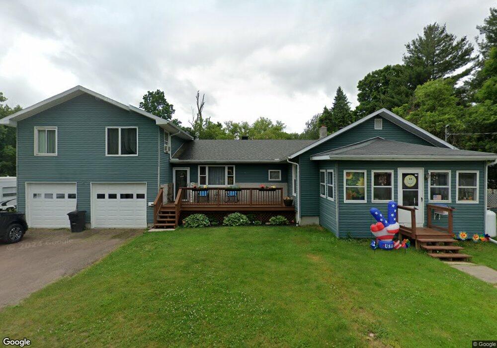
9 Bentley Ave Malone, NY 12953
Estimated Value: $112,000 - $178,635
5
Beds
3
Baths
2,280
Sq Ft
$65/Sq Ft
Est. Value
About This Home
This home is located at 9 Bentley Ave, Malone, NY 12953 and is currently estimated at $147,409, approximately $64 per square foot. 9 Bentley Ave is a home located in Franklin County with nearby schools including Saint Joseph's Elementary School, Malone Middle School, and Franklin Academy High School.
Ownership History
Date
Name
Owned For
Owner Type
Purchase Details
Closed on
Jun 13, 2016
Sold by
Sherwin Molly and Sherwin Molly K
Bought by
Rousell Brett J
Current Estimated Value
Home Financials for this Owner
Home Financials are based on the most recent Mortgage that was taken out on this home.
Original Mortgage
$97,108
Outstanding Balance
$77,737
Interest Rate
3.75%
Mortgage Type
FHA
Estimated Equity
$69,672
Purchase Details
Closed on
Sep 13, 2000
Sold by
Perry Arnold F
Bought by
Sherwin Molly K
Purchase Details
Closed on
Aug 12, 1997
Bought by
Sherwin Molly
Create a Home Valuation Report for This Property
The Home Valuation Report is an in-depth analysis detailing your home's value as well as a comparison with similar homes in the area
Home Values in the Area
Average Home Value in this Area
Purchase History
| Date | Buyer | Sale Price | Title Company |
|---|---|---|---|
| Rousell Brett J | -- | -- | |
| Sherwin Molly K | $600 | Donald J Holland | |
| Sherwin Molly | $19,000 | -- |
Source: Public Records
Mortgage History
| Date | Status | Borrower | Loan Amount |
|---|---|---|---|
| Open | Rousell Brett J | $97,108 |
Source: Public Records
Tax History
| Year | Tax Paid | Tax Assessment Tax Assessment Total Assessment is a certain percentage of the fair market value that is determined by local assessors to be the total taxable value of land and additions on the property. | Land | Improvement |
|---|---|---|---|---|
| 2024 | $3,665 | $66,300 | $8,200 | $58,100 |
| 2023 | $3,503 | $66,300 | $8,200 | $58,100 |
| 2022 | $3,381 | $66,300 | $8,200 | $58,100 |
| 2021 | $3,393 | $66,300 | $8,200 | $58,100 |
| 2020 | $3,425 | $66,300 | $8,200 | $58,100 |
| 2019 | $3,411 | $66,300 | $8,200 | $58,100 |
| 2018 | $3,352 | $66,300 | $8,200 | $58,100 |
| 2017 | $3,325 | $66,300 | $8,200 | $58,100 |
| 2016 | $3,351 | $66,300 | $8,200 | $58,100 |
| 2015 | -- | $66,300 | $8,200 | $58,100 |
| 2014 | -- | $66,300 | $8,200 | $58,100 |
Source: Public Records
Map
Nearby Homes
Your Personal Tour Guide
Ask me questions while you tour the home.