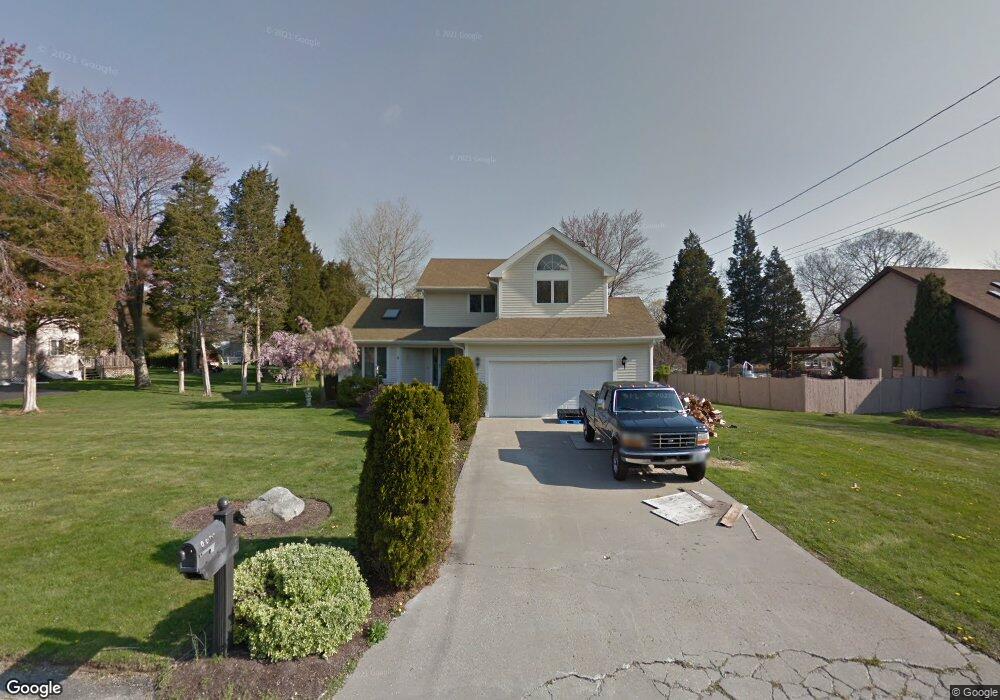
9 Betsy Dr Bristol, RI 02809
Northeast Bristol NeighborhoodEstimated Value: $707,000 - $744,000
3
Beds
3
Baths
3,100
Sq Ft
$232/Sq Ft
Est. Value
About This Home
This home is located at 9 Betsy Dr, Bristol, RI 02809 and is currently estimated at $719,566, approximately $232 per square foot. 9 Betsy Dr is a home located in Bristol County with nearby schools including Mt. Hope High School, Highlander Charter Middle and High School, and East Bay Career Academy.
Ownership History
Date
Name
Owned For
Owner Type
Purchase Details
Closed on
Aug 31, 2017
Sold by
Robert Zuckerman 1990
Bought by
9 Betsy Dr Llc
Current Estimated Value
Purchase Details
Closed on
Aug 21, 2017
Sold by
Zuckerman Robert S
Bought by
Robert Zuckerman 1990
Purchase Details
Closed on
Oct 12, 2011
Sold by
Zuckerman Robert S and Zuckerman Carol A
Bought by
Zuckerman Robert S
Purchase Details
Closed on
Jun 13, 1997
Sold by
Flanders Terri A V
Bought by
Zuckerman Roert S and Zuckerman Carol
Purchase Details
Closed on
Jun 11, 1990
Sold by
Countryside Acres Dev
Bought by
Flanders John D
Create a Home Valuation Report for This Property
The Home Valuation Report is an in-depth analysis detailing your home's value as well as a comparison with similar homes in the area
Home Values in the Area
Average Home Value in this Area
Purchase History
| Date | Buyer | Sale Price | Title Company |
|---|---|---|---|
| 9 Betsy Dr Llc | -- | -- | |
| Robert Zuckerman 1990 | $323,000 | -- | |
| Zuckerman Robert S | -- | -- | |
| Zuckerman Roert S | $195,000 | -- | |
| Flanders John D | $218,500 | -- |
Source: Public Records
Mortgage History
| Date | Status | Borrower | Loan Amount |
|---|---|---|---|
| Previous Owner | Flanders John D | $258,000 | |
| Previous Owner | Flanders John D | $250,000 | |
| Previous Owner | Flanders John D | $45,500 |
Source: Public Records
Tax History Compared to Growth
Tax History
| Year | Tax Paid | Tax Assessment Tax Assessment Total Assessment is a certain percentage of the fair market value that is determined by local assessors to be the total taxable value of land and additions on the property. | Land | Improvement |
|---|---|---|---|---|
| 2025 | $6,200 | $448,600 | $164,500 | $284,100 |
| 2024 | $6,200 | $448,600 | $164,500 | $284,100 |
| 2023 | $5,993 | $448,600 | $164,500 | $284,100 |
| 2022 | $5,832 | $448,600 | $164,500 | $284,100 |
| 2021 | $6,201 | $431,200 | $167,300 | $263,900 |
| 2020 | $6,067 | $431,200 | $167,300 | $263,900 |
| 2019 | $5,916 | $431,200 | $167,300 | $263,900 |
| 2018 | $6,293 | $409,200 | $153,000 | $256,200 |
| 2017 | $4,798 | $321,600 | $135,400 | $186,200 |
| 2016 | $4,750 | $321,600 | $135,400 | $186,200 |
| 2015 | $4,512 | $321,600 | $135,400 | $186,200 |
| 2014 | $5,019 | $384,340 | $166,100 | $218,240 |
Source: Public Records
Map
Nearby Homes
- 3 Betsy Dr
- 1 Betsy Dr
- 16 Smith St
- 7 Broadview Ave
- 683 Metacom Ave Unit 79
- 669 Metacom Ave Unit 17
- 22 Harrison St
- 48 Narrows Rd
- 0 Overhill Rd Unit 1382248
- 85 Canario Dr
- 4 Read Ave
- 6 Scott Ln
- 7 Knowlton Ct
- 3 Knowlton Ct
- 5 Knowlton Ct
- 1 Knowlton Ct
- 1220 Hope St
- 0 Barton Ave
- 35 Bagy Wrinkle Cove
- 40 Aaron Ave