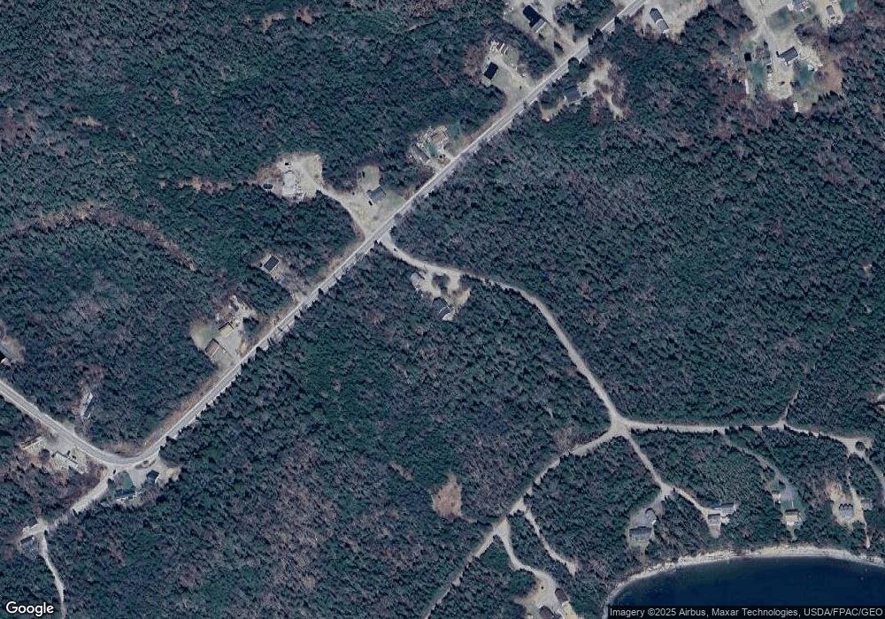
9 Bickford Point Rd Addison, ME 04606
Estimated Value: $328,000 - $445,000
3
Beds
2
Baths
2,240
Sq Ft
$167/Sq Ft
Est. Value
About This Home
This home is located at 9 Bickford Point Rd, Addison, ME 04606 and is currently estimated at $373,946, approximately $166 per square foot. 9 Bickford Point Rd is a home.
Ownership History
Date
Name
Owned For
Owner Type
Purchase Details
Closed on
Jan 28, 2022
Sold by
Thompson Beulah R Est and Teixeira
Bought by
Snyder Amanda R and Snyder Zachary M
Current Estimated Value
Home Financials for this Owner
Home Financials are based on the most recent Mortgage that was taken out on this home.
Original Mortgage
$186,480
Outstanding Balance
$171,764
Interest Rate
3.22%
Mortgage Type
Purchase Money Mortgage
Estimated Equity
$202,182
Create a Home Valuation Report for This Property
The Home Valuation Report is an in-depth analysis detailing your home's value as well as a comparison with similar homes in the area
Home Values in the Area
Average Home Value in this Area
Purchase History
| Date | Buyer | Sale Price | Title Company |
|---|---|---|---|
| Snyder Amanda R | -- | None Available |
Source: Public Records
Mortgage History
| Date | Status | Borrower | Loan Amount |
|---|---|---|---|
| Open | Snyder Amanda R | $186,480 |
Source: Public Records
Tax History Compared to Growth
Tax History
| Year | Tax Paid | Tax Assessment Tax Assessment Total Assessment is a certain percentage of the fair market value that is determined by local assessors to be the total taxable value of land and additions on the property. | Land | Improvement |
|---|---|---|---|---|
| 2024 | $3,413 | $182,300 | $25,600 | $156,700 |
| 2023 | $3,139 | $182,300 | $25,600 | $156,700 |
| 2022 | $3,006 | $181,100 | $24,400 | $156,700 |
| 2021 | $3,006 | $181,100 | $24,400 | $156,700 |
| 2020 | $2,898 | $181,100 | $24,400 | $156,700 |
| 2019 | $2,879 | $181,100 | $24,400 | $156,700 |
| 2018 | $2,879 | $181,100 | $24,400 | $156,700 |
| 2017 | $2,879 | $181,100 | $24,400 | $156,700 |
| 2016 | $2,669 | $182,800 | $24,400 | $158,400 |
| 2015 | $2,623 | $182,800 | $24,400 | $158,400 |
| 2014 | $2,450 | $182,800 | $24,400 | $158,400 |
| 2013 | $2,288 | $183,000 | $24,400 | $158,600 |
Source: Public Records
Map
Nearby Homes
- M17L21 Basin Rd
- 13 W Wind Rd
- 60 W Wind Rd
- 8,9,10&14 Kent Bar Island Wohoa Bay Rd
- 55 Wilders Way
- 1491 Indian River Rd
- 1655 Indian River Rd
- 1489 Indian River Rd
- Lot #4 Indian Head Shores
- Lot #3 Inidan Head Shores
- Lot #2 Inidan Head Shores
- Lot #1 Inidan Head Shores
- 0 Pomp Island Unit 1616155
- 6 & 20 Skinner Corner
- 2 Dobbins Hill Rd
- 52 Main St
- 52 Kent Rd
- 68 Main St
- 366 Mooseneck Rd
- 86 Mill Pond Rd
- 667 Basin Rd
- 0 Bickford Point Rd
- 0 Bickford Point Rd
- 681 Basin Rd
- 655 Basin Rd
- 671 Basin Rd
- 693 Basin Rd
- Lot 10 Bay Dr
- 630 Basin Rd
- 643 Basin Rd
- 00 Bay Dr
- 47 Bickford Point Rd
- 635 Basin Rd
- 65 Bay Dr
- 0 Salt Breeze Way Unit 877762
- 50 Bickford Point Rd
- 712 Basin Rd
- 622 Basin Rd
- 625 Basin Rd
- 0 Bay Dr Unit 1305649
