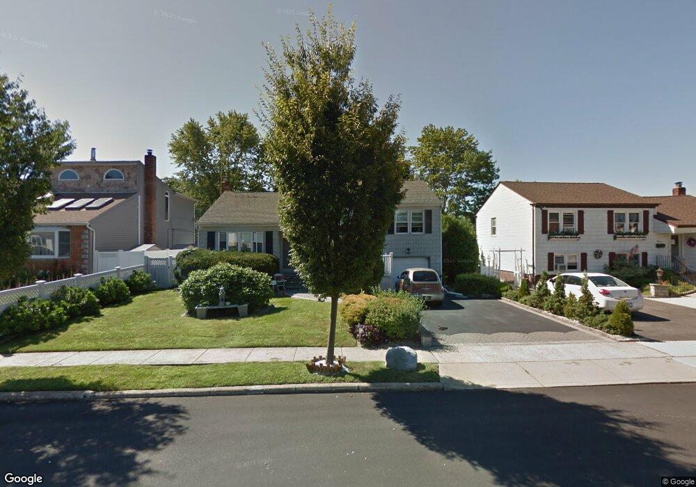
9 Bradford Ln Bethpage, NY 11714
Estimated Value: $739,000 - $799,641
--
Bed
3
Baths
1,476
Sq Ft
$521/Sq Ft
Est. Value
About This Home
This home is located at 9 Bradford Ln, Bethpage, NY 11714 and is currently estimated at $769,321, approximately $521 per square foot. 9 Bradford Ln is a home located in Nassau County with nearby schools including Central Boulevard Elementary School, John F Kennedy Middle School, and Bethpage Senior High School.
Ownership History
Date
Name
Owned For
Owner Type
Purchase Details
Closed on
Oct 7, 2015
Sold by
Reilly Donna Marie and Settino Gregory
Bought by
Salato Anthony and Salato Gina
Current Estimated Value
Home Financials for this Owner
Home Financials are based on the most recent Mortgage that was taken out on this home.
Original Mortgage
$110,000
Interest Rate
3.06%
Mortgage Type
Purchase Money Mortgage
Purchase Details
Closed on
Nov 28, 2005
Sold by
Reilly Donna Marie
Purchase Details
Closed on
Oct 11, 2005
Sold by
Settino Harry
Purchase Details
Closed on
Mar 4, 2005
Sold by
Settino Harry
Create a Home Valuation Report for This Property
The Home Valuation Report is an in-depth analysis detailing your home's value as well as a comparison with similar homes in the area
Home Values in the Area
Average Home Value in this Area
Purchase History
| Date | Buyer | Sale Price | Title Company |
|---|---|---|---|
| Salato Anthony | $390,000 | Attorney | |
| -- | -- | -- | |
| -- | -- | -- | |
| -- | -- | -- |
Source: Public Records
Mortgage History
| Date | Status | Borrower | Loan Amount |
|---|---|---|---|
| Previous Owner | Salato Anthony | $110,000 |
Source: Public Records
Tax History Compared to Growth
Tax History
| Year | Tax Paid | Tax Assessment Tax Assessment Total Assessment is a certain percentage of the fair market value that is determined by local assessors to be the total taxable value of land and additions on the property. | Land | Improvement |
|---|---|---|---|---|
| 2025 | $15,102 | $541 | $229 | $312 |
| 2024 | $5,233 | $570 | $241 | $329 |
| 2023 | $14,652 | $604 | $260 | $344 |
| 2022 | $14,652 | $570 | $241 | $329 |
| 2021 | $12,724 | $596 | $235 | $361 |
| 2020 | $12,919 | $739 | $630 | $109 |
| 2019 | $13,099 | $671 | $630 | $41 |
| 2018 | $10,953 | $671 | $0 | $0 |
| 2017 | $5,488 | $713 | $595 | $118 |
| 2016 | $9,152 | $755 | $482 | $273 |
| 2015 | $3,422 | $797 | $509 | $288 |
| 2014 | $3,422 | $797 | $509 | $288 |
| 2013 | $3,821 | $987 | $630 | $357 |
Source: Public Records
Map
Nearby Homes
- 30 Acme Ave
- 338 Stewart Ave
- 234 S Pershing Ave
- 38 Bradford Ln
- 31 Brenner Ave
- 4041 Jean Ave
- 5 Totten St
- 23 Arthur Ave
- 189 N Windhorst Ave
- 7 Hoover Ln
- 144 N Herman Ave
- 26 Kearney Ave
- 12 Hoover Ln
- 57 William St
- 87 Brenner Ave
- 96 S Windhorst Ave
- 198 Central Ave
- 34 Scherer St
- 464 Central Ave
- 35 Whaley Ave