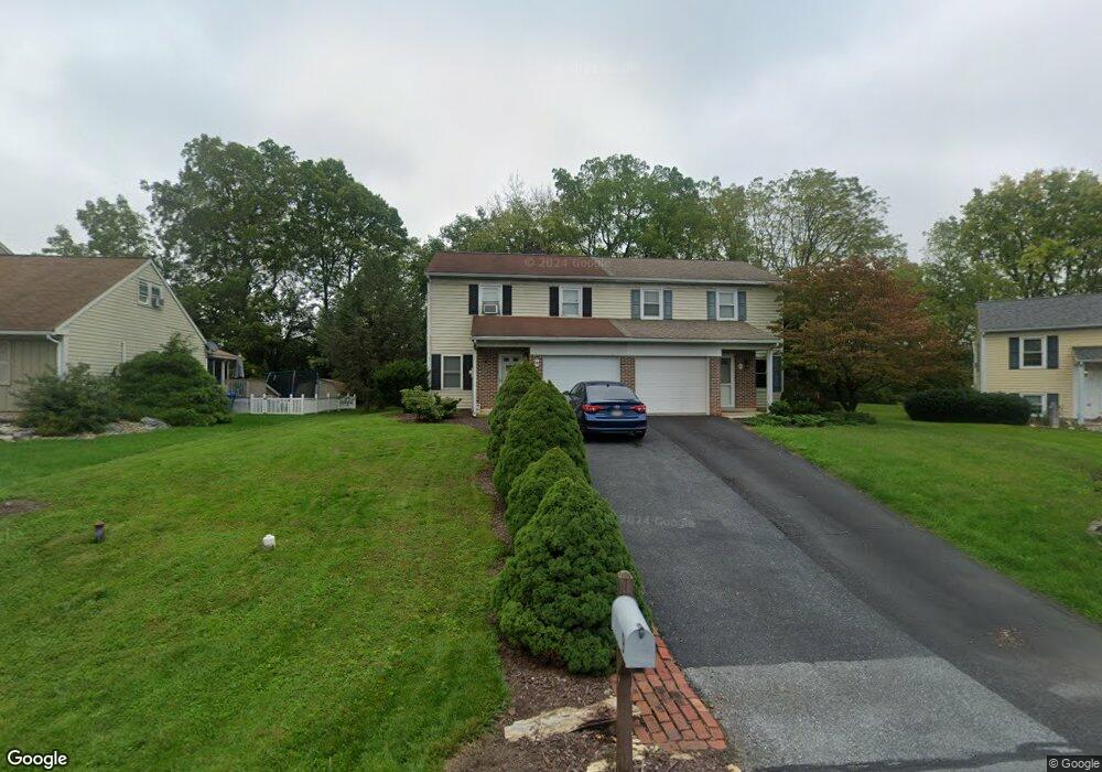
9 Branstock Ct Lititz, PA 17543
Estimated Value: $274,000 - $311,000
3
Beds
1
Bath
1,124
Sq Ft
$256/Sq Ft
Est. Value
About This Home
This home is located at 9 Branstock Ct, Lititz, PA 17543 and is currently estimated at $287,929, approximately $256 per square foot. 9 Branstock Ct is a home located in Lancaster County with nearby schools including Warwick Senior High School, Lititz Christian School, and Linden Hall.
Ownership History
Date
Name
Owned For
Owner Type
Purchase Details
Closed on
May 27, 2005
Sold by
Phillips James M and Phillips Donna K
Bought by
Winick Robert S
Current Estimated Value
Home Financials for this Owner
Home Financials are based on the most recent Mortgage that was taken out on this home.
Original Mortgage
$93,500
Outstanding Balance
$49,377
Interest Rate
5.94%
Mortgage Type
Fannie Mae Freddie Mac
Estimated Equity
$238,552
Create a Home Valuation Report for This Property
The Home Valuation Report is an in-depth analysis detailing your home's value as well as a comparison with similar homes in the area
Home Values in the Area
Average Home Value in this Area
Purchase History
| Date | Buyer | Sale Price | Title Company |
|---|---|---|---|
| Winick Robert S | $123,500 | -- |
Source: Public Records
Mortgage History
| Date | Status | Borrower | Loan Amount |
|---|---|---|---|
| Open | Winick Robert S | $93,500 |
Source: Public Records
Tax History Compared to Growth
Tax History
| Year | Tax Paid | Tax Assessment Tax Assessment Total Assessment is a certain percentage of the fair market value that is determined by local assessors to be the total taxable value of land and additions on the property. | Land | Improvement |
|---|---|---|---|---|
| 2025 | $2,339 | $119,300 | $46,800 | $72,500 |
| 2024 | $2,339 | $119,300 | $46,800 | $72,500 |
| 2023 | $2,328 | $119,300 | $46,800 | $72,500 |
| 2022 | $2,328 | $119,300 | $46,800 | $72,500 |
| 2021 | $2,328 | $119,300 | $46,800 | $72,500 |
| 2020 | $2,328 | $119,300 | $46,800 | $72,500 |
| 2019 | $2,328 | $119,300 | $46,800 | $72,500 |
| 2018 | $1,839 | $119,300 | $46,800 | $72,500 |
| 2017 | $2,270 | $91,700 | $31,700 | $60,000 |
| 2016 | $2,270 | $91,700 | $31,700 | $60,000 |
| 2015 | $368 | $91,700 | $31,700 | $60,000 |
| 2014 | $1,693 | $91,700 | $31,700 | $60,000 |
Source: Public Records
Map
Nearby Homes
- 453 Crosswinds Dr
- 427 Crosswinds Dr
- 2 Tupelo St
- 1 Tupelo St
- 0 Tupelo St
- 417 Woodcrest Ave
- Amberbrook Plan at Walton Hill - Walton Hill
- Oakley Plan at Walton Hill - Walton Hill
- Wesley Plan at Walton Hill - Walton Hill
- Northfield Plan at Walton Hill - Walton Hill
- Charlotte Plan at Walton Hill - Walton Hill
- Darien Plan at Walton Hill - Walton Hill
- Kingston Plan at Walton Hill - Walton Hill
- Logan Plan at Walton Hill - Walton Hill
- 520 Woodcrest Ave
- 23 Vista Ct
- 394 Hensley St
- 398 Hensley St
- 80 Tupelo St
- 108 Meadows Bend