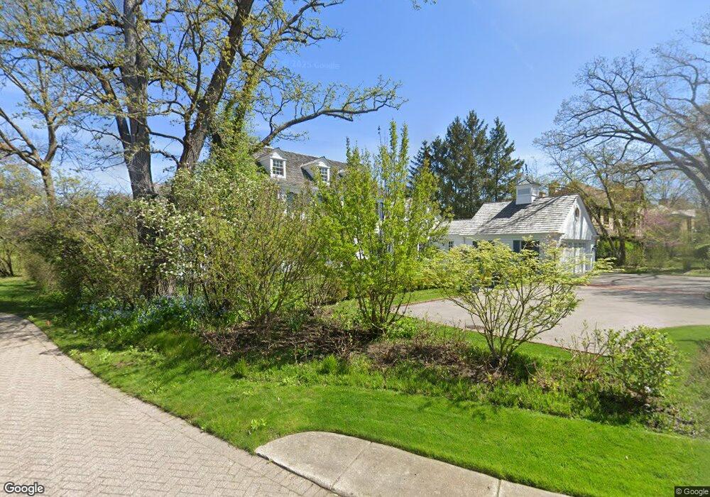
9 Briar Ln Glencoe, IL 60022
Estimated Value: $2,146,000 - $3,227,000
4
Beds
4
Baths
4,809
Sq Ft
$565/Sq Ft
Est. Value
About This Home
This home is located at 9 Briar Ln, Glencoe, IL 60022 and is currently estimated at $2,716,295, approximately $564 per square foot. 9 Briar Ln is a home located in Cook County with nearby schools including South Elementary School, Central School, and West School.
Ownership History
Date
Name
Owned For
Owner Type
Purchase Details
Closed on
Oct 12, 2021
Sold by
Ubben Timothy H and Timothy H Ubben Living Trust
Bought by
Casper Jane D and Jane D Casper Trust
Current Estimated Value
Purchase Details
Closed on
Dec 19, 2006
Sold by
Ubben Timothy H and Ubben Sharon M
Bought by
Ubben Timothy H and Timothy H Ubben Living Trust
Create a Home Valuation Report for This Property
The Home Valuation Report is an in-depth analysis detailing your home's value as well as a comparison with similar homes in the area
Home Values in the Area
Average Home Value in this Area
Purchase History
| Date | Buyer | Sale Price | Title Company |
|---|---|---|---|
| Casper Jane D | $2,380,000 | First American Title | |
| Ubben Timothy H | -- | None Available |
Source: Public Records
Tax History
| Year | Tax Paid | Tax Assessment Tax Assessment Total Assessment is a certain percentage of the fair market value that is determined by local assessors to be the total taxable value of land and additions on the property. | Land | Improvement |
|---|---|---|---|---|
| 2025 | $42,593 | $229,000 | $50,739 | $178,261 |
| 2024 | $42,593 | $156,906 | $42,933 | $113,973 |
| 2023 | $38,357 | $173,882 | $42,933 | $130,949 |
| 2022 | $38,357 | $173,882 | $42,933 | $130,949 |
| 2021 | $39,446 | $137,587 | $35,127 | $102,460 |
| 2020 | $38,296 | $137,587 | $35,127 | $102,460 |
| 2019 | $36,985 | $149,552 | $35,127 | $114,425 |
| 2018 | $38,596 | $151,827 | $29,272 | $122,555 |
| 2017 | $37,497 | $151,827 | $29,272 | $122,555 |
| 2016 | $35,206 | $151,827 | $29,272 | $122,555 |
| 2015 | $35,200 | $134,395 | $24,393 | $110,002 |
| 2014 | $34,330 | $134,395 | $24,393 | $110,002 |
| 2013 | $32,747 | $134,395 | $24,393 | $110,002 |
Source: Public Records
Map
Nearby Homes
- 330 Brookside Ln
- 378 South Ave
- 679 Bluff St
- 985 Pine Tree Ln
- 488 Park Ave
- 476 Park Ave
- 410 Green Bay Rd
- 516 Drexel Ave
- 1492 Asbury Ave
- 1351 Scott Ave
- 735 Grove St
- 955 Vernon Ave
- 1311 Scott Ave
- 794 Greenwood Ave
- 808 Prairie Rd
- 396 Forest Edge Dr
- 1333 Tower Rd
- 124 Linden Ave
- 1255 Forest Glen Dr N
- 677 Greenleaf Ave
Your Personal Tour Guide
Ask me questions while you tour the home.