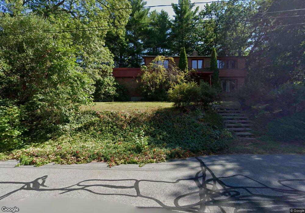
9 Brookfield Dr Nashua, NH 03063
Northwest Nashua NeighborhoodEstimated Value: $614,791 - $672,000
4
Beds
3
Baths
2,100
Sq Ft
$307/Sq Ft
Est. Value
About This Home
This home is located at 9 Brookfield Dr, Nashua, NH 03063 and is currently estimated at $645,448, approximately $307 per square foot. 9 Brookfield Dr is a home located in Hillsborough County with nearby schools including Birch Hill Elementary School, Elm Street Middle School, and Nashua High School North.
Ownership History
Date
Name
Owned For
Owner Type
Purchase Details
Closed on
Jul 28, 2011
Sold by
Boucher Constance M
Bought by
Boucher Edward M and Boucher Heather E
Current Estimated Value
Home Financials for this Owner
Home Financials are based on the most recent Mortgage that was taken out on this home.
Original Mortgage
$230,280
Outstanding Balance
$155,616
Interest Rate
4.52%
Mortgage Type
Purchase Money Mortgage
Estimated Equity
$489,832
Purchase Details
Closed on
Sep 1, 1993
Bought by
Boucher Edward M and Boucher Heather E
Create a Home Valuation Report for This Property
The Home Valuation Report is an in-depth analysis detailing your home's value as well as a comparison with similar homes in the area
Home Values in the Area
Average Home Value in this Area
Purchase History
We collect this data history from publicly available records. To have your information removed, we recommend requesting removal directly through your county’s website.
| Date | Buyer | Sale Price | Title Company |
|---|---|---|---|
| Boucher Edward M | $285,000 | -- | |
| Boucher Edward M | -- | -- |
Source: Public Records
Mortgage History
We collect this data history from publicly available records. To have your information removed, we recommend requesting removal directly through your county’s website.
| Date | Status | Borrower | Loan Amount |
|---|---|---|---|
| Open | Boucher Edward M | $25,000 | |
| Open | Boucher Edward M | $230,280 |
Source: Public Records
Tax History
| Year | Tax Paid | Tax Assessment Tax Assessment Total Assessment is a certain percentage of the fair market value that is determined by local assessors to be the total taxable value of land and additions on the property. | Land | Improvement |
|---|---|---|---|---|
| 2025 | $9,349 | $555,500 | $182,300 | $373,200 |
| 2024 | $8,832 | $555,500 | $182,300 | $373,200 |
| 2023 | $8,276 | $454,000 | $145,800 | $308,200 |
| 2022 | $8,204 | $454,000 | $145,800 | $308,200 |
| 2021 | $7,744 | $333,500 | $97,200 | $236,300 |
| 2020 | $7,554 | $334,100 | $97,200 | $236,900 |
| 2019 | $7,270 | $334,100 | $97,200 | $236,900 |
| 2018 | $7,086 | $334,100 | $97,200 | $236,900 |
| 2017 | $7,273 | $282,000 | $83,100 | $198,900 |
| 2016 | $7,070 | $282,000 | $83,100 | $198,900 |
| 2015 | $6,917 | $282,000 | $83,100 | $198,900 |
| 2014 | $6,782 | $282,000 | $83,100 | $198,900 |
Source: Public Records
Map
Nearby Homes
- 8 Bartemus Trail Unit U216
- 23 Normandy Way
- 9 Bartemus Trail Unit U208
- 21 Gloucester Ln Unit U37
- 6 Mayfair Ln Unit 201
- 63 Norma Dr Unit U7
- 5 Lowther Place Unit U6
- 12 Fitzpatrick Cir Unit U81
- 2 Lowther Place Unit U3
- 13 Cider Ln
- 734 W Hollis St
- 4 Lee Ann St
- 668 W Hollis St
- 55 Spring Cove Rd Unit U136
- 401 Broad St
- 18 Kanata Dr
- 18 Baltimore Rd
- 11 Olympia Cir
- 26 Snow Ln
- 45 Dogwood Dr Unit U304
Your Personal Tour Guide
Ask me questions while you tour the home.