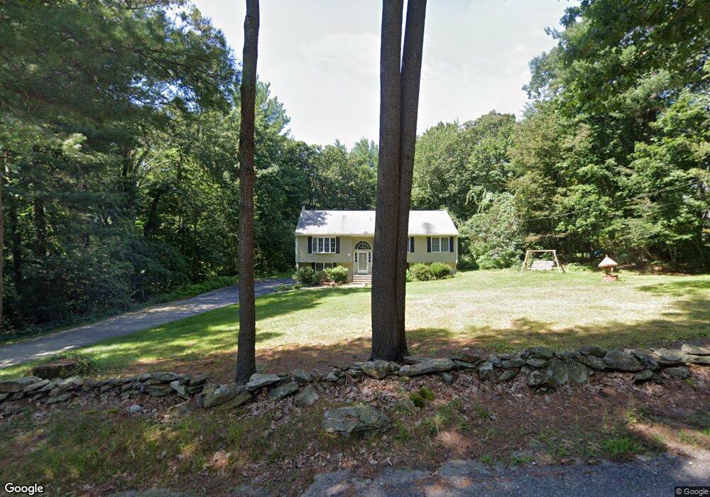
9 Brown Rd Oxford, MA 01540
Estimated Value: $510,000 - $585,000
3
Beds
2
Baths
1,358
Sq Ft
$392/Sq Ft
Est. Value
About This Home
This home is located at 9 Brown Rd, Oxford, MA 01540 and is currently estimated at $532,241, approximately $391 per square foot. 9 Brown Rd is a home located in Worcester County with nearby schools including Alfred M Chaffee, Oxford High School, and Clara Barton Elementary School.
Ownership History
Date
Name
Owned For
Owner Type
Purchase Details
Closed on
Jul 11, 2002
Sold by
Erickson Brian K and Erickson Karen E
Bought by
White Richard H and White Theresa E
Current Estimated Value
Home Financials for this Owner
Home Financials are based on the most recent Mortgage that was taken out on this home.
Original Mortgage
$150,000
Outstanding Balance
$63,949
Interest Rate
6.79%
Mortgage Type
Purchase Money Mortgage
Estimated Equity
$468,292
Create a Home Valuation Report for This Property
The Home Valuation Report is an in-depth analysis detailing your home's value as well as a comparison with similar homes in the area
Home Values in the Area
Average Home Value in this Area
Purchase History
| Date | Buyer | Sale Price | Title Company |
|---|---|---|---|
| White Richard H | $260,000 | -- |
Source: Public Records
Mortgage History
| Date | Status | Borrower | Loan Amount |
|---|---|---|---|
| Open | White Richard H | $150,000 |
Source: Public Records
Tax History Compared to Growth
Tax History
| Year | Tax Paid | Tax Assessment Tax Assessment Total Assessment is a certain percentage of the fair market value that is determined by local assessors to be the total taxable value of land and additions on the property. | Land | Improvement |
|---|---|---|---|---|
| 2025 | $58 | $455,100 | $122,000 | $333,100 |
| 2024 | $5,461 | $405,100 | $112,800 | $292,300 |
| 2023 | $5,287 | $387,600 | $100,800 | $286,800 |
| 2022 | $4,562 | $282,300 | $71,400 | $210,900 |
| 2021 | $4,442 | $268,700 | $67,800 | $200,900 |
| 2020 | $4,265 | $256,000 | $67,800 | $188,200 |
| 2019 | $4,285 | $251,600 | $67,800 | $183,800 |
| 2018 | $4,079 | $236,200 | $67,800 | $168,400 |
| 2017 | $4,079 | $242,100 | $67,800 | $174,300 |
| 2016 | $4,099 | $242,100 | $67,800 | $174,300 |
| 2015 | $3,823 | $242,100 | $67,800 | $174,300 |
| 2014 | $3,749 | $249,900 | $67,800 | $182,100 |
Source: Public Records
Map
Nearby Homes
- 11 Lovett Rd
- 35 &33 Sutton Ave
- 0 Dana Rd
- 15 Lind St
- 18 Sutton Ave
- 8 Turk Hollow Rd
- 12 New St
- 5 Carlton Ct
- 11 Sutton Ave
- 397 Main St
- 0 Federal Hill Rd Unit 73422286
- 7 Mckinstry Dr
- 6 Rawson Ave
- 7 Millbury Blvd
- L0T 11 History Dr
- L0T 3 History Dr
- 7 Tower Hill Rd
- 3 Rhonda Rheault Dr
- L0T 12 History Dr
- 9 Howarth Rd