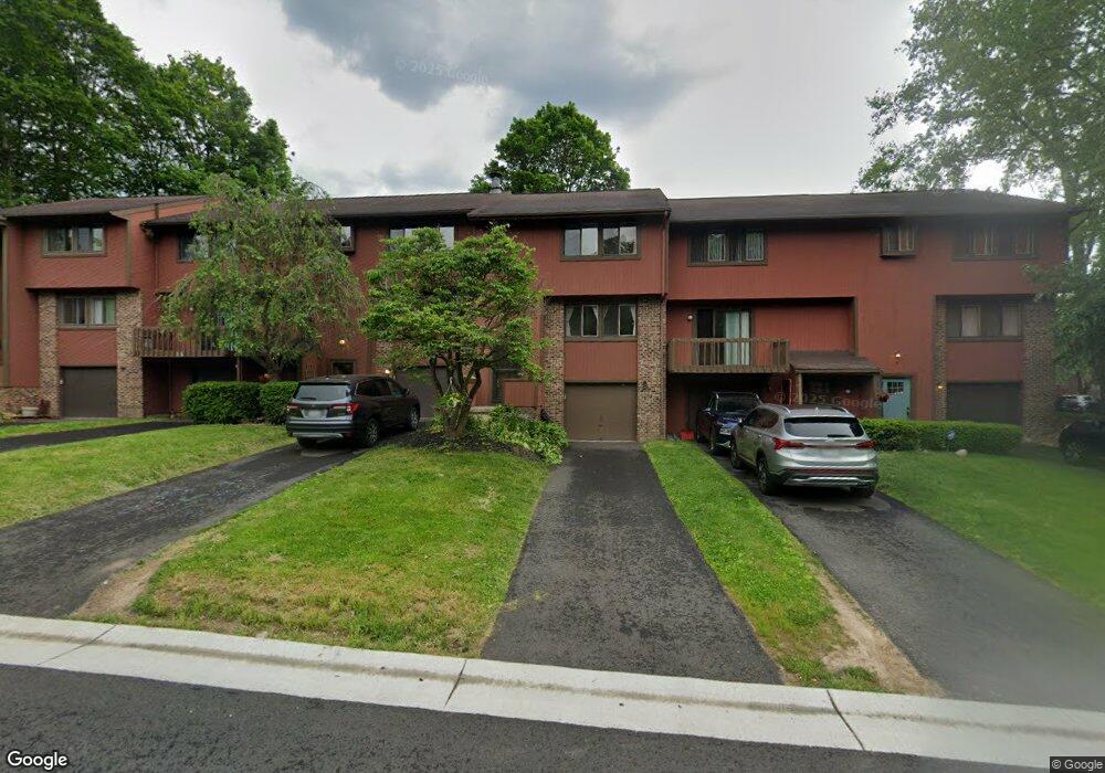
9 Broxbourne Dr Fairport, NY 14450
Estimated Value: $188,000 - $250,000
3
Beds
2
Baths
1,214
Sq Ft
$186/Sq Ft
Est. Value
About This Home
This home is located at 9 Broxbourne Dr, Fairport, NY 14450 and is currently estimated at $225,520, approximately $185 per square foot. 9 Broxbourne Dr is a home located in Monroe County with nearby schools including Dudley School, Northside School, and Johanna Perrin Middle School.
Ownership History
Date
Name
Owned For
Owner Type
Purchase Details
Closed on
Aug 11, 2015
Sold by
Edwards Scott C
Bought by
S A Edwards Properties Llc
Current Estimated Value
Purchase Details
Closed on
Sep 5, 2008
Sold by
Edwards Scott
Bought by
Edwards Scott
Create a Home Valuation Report for This Property
The Home Valuation Report is an in-depth analysis detailing your home's value as well as a comparison with similar homes in the area
Home Values in the Area
Average Home Value in this Area
Purchase History
| Date | Buyer | Sale Price | Title Company |
|---|---|---|---|
| S A Edwards Properties Llc | -- | None Available | |
| Edwards Scott | -- | Robert M Schild |
Source: Public Records
Tax History Compared to Growth
Tax History
| Year | Tax Paid | Tax Assessment Tax Assessment Total Assessment is a certain percentage of the fair market value that is determined by local assessors to be the total taxable value of land and additions on the property. | Land | Improvement |
|---|---|---|---|---|
| 2024 | $8,021 | $118,900 | $27,000 | $91,900 |
| 2023 | $4,616 | $118,900 | $27,000 | $91,900 |
| 2022 | $4,436 | $118,900 | $27,000 | $91,900 |
| 2021 | $4,476 | $118,900 | $27,000 | $91,900 |
| 2020 | $4,375 | $118,900 | $27,000 | $91,900 |
| 2019 | $4,047 | $118,900 | $26,500 | $92,400 |
| 2018 | $6,200 | $118,900 | $26,500 | $92,400 |
| 2017 | $2,623 | $110,100 | $26,500 | $83,600 |
| 2016 | $4,047 | $110,100 | $26,500 | $83,600 |
| 2015 | -- | $110,100 | $26,500 | $83,600 |
| 2014 | -- | $110,100 | $26,500 | $83,600 |
Source: Public Records
Map
Nearby Homes
- 4 Arbor Ct
- 43 Hollingham Rise
- 31 Belinda Crescent
- 2 Foxpointe Cir
- 1331 Whitney Rd E
- 76 - 78 Summit St
- 15 Whitney Farms Cir
- 70 High St
- 187 S Main St
- 603 Watson Rd
- 28 Winchester Dr
- 14 Peppermill Dr
- 6 Noahs Bluff
- 8 Noahs Bluff
- 4 Noahs Bluff
- 158 N Main St
- 5 Noahs Bluff
- 2 Hamilton Rd
- 105 Packetts Glen
- 43 Lyndon Rd
- 11 Broxbourne Dr
- 7 Broxbourne Dr
- 15 Broxbourne Dr
- 5 Broxbourne Dr
- 21 Garrison Dr
- 17 Broxbourne Dr
- 23 Garrison Dr
- 25 Garrison Dr
- 14 Garrison Dr
- 16 Garrison Dr
- 18 Garrison Dr
- 59 Broxbourne Dr
- 27 Garrison Dr
- 20 Garrison Dr
- 12 Garrison Dr
- 55 Broxbourne Dr
- 53 Broxbourne Dr
- 10 Broxbourne Dr
- 8 Broxbourne Dr
- 10 Garrison Dr