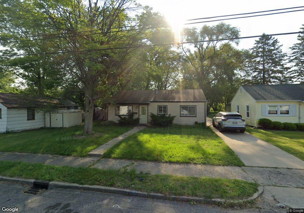
9 Burdge St S Battle Creek, MI 49014
Post Franklin NeighborhoodEstimated Value: $61,000 - $106,000
3
Beds
1
Bath
864
Sq Ft
$107/Sq Ft
Est. Value
About This Home
This home is located at 9 Burdge St S, Battle Creek, MI 49014 and is currently estimated at $92,679, approximately $107 per square foot. 9 Burdge St S is a home located in Calhoun County with nearby schools including Verona Elementary School, Springfield Middle School, and Battle Creek Central High School.
Ownership History
Date
Name
Owned For
Owner Type
Purchase Details
Closed on
Jul 31, 2018
Sold by
Pierce Jon and Pierce Jonathan D
Bought by
Battle Creek Property Management Group L
Current Estimated Value
Purchase Details
Closed on
Jan 26, 2012
Sold by
Pierce Jonathan David
Bought by
Pierce Real Estate Investments Llc
Purchase Details
Closed on
May 7, 2009
Sold by
Hunter Jeffrey M and Hunter April W
Bought by
Us Bank National Association
Purchase Details
Closed on
Jun 26, 1995
Bought by
Hunter
Purchase Details
Closed on
Jun 23, 1995
Bought by
Lebarre
Create a Home Valuation Report for This Property
The Home Valuation Report is an in-depth analysis detailing your home's value as well as a comparison with similar homes in the area
Home Values in the Area
Average Home Value in this Area
Purchase History
| Date | Buyer | Sale Price | Title Company |
|---|---|---|---|
| Battle Creek Property Management Group L | -- | None Available | |
| Pierce Real Estate Investments Llc | -- | None Available | |
| Us Bank National Association | $24,300 | None Available | |
| Hunter | $40,000 | -- | |
| Lebarre | -- | -- |
Source: Public Records
Tax History Compared to Growth
Tax History
| Year | Tax Paid | Tax Assessment Tax Assessment Total Assessment is a certain percentage of the fair market value that is determined by local assessors to be the total taxable value of land and additions on the property. | Land | Improvement |
|---|---|---|---|---|
| 2025 | -- | $32,600 | $0 | $0 |
| 2024 | $893 | $27,434 | $0 | $0 |
| 2023 | $1,136 | $24,809 | $0 | $0 |
| 2022 | $807 | $21,471 | $0 | $0 |
| 2021 | $1,079 | $20,010 | $0 | $0 |
| 2020 | $1,067 | $19,930 | $0 | $0 |
| 2019 | $1,011 | $20,054 | $0 | $0 |
| 2018 | $1,011 | $18,051 | $905 | $17,146 |
| 2017 | $985 | $16,643 | $0 | $0 |
| 2016 | $982 | $15,264 | $0 | $0 |
| 2015 | $968 | $18,195 | $2,784 | $15,411 |
| 2014 | $968 | $15,064 | $2,784 | $12,280 |
Source: Public Records
Map
Nearby Homes
- 23 Bradford St
- 79 Clark St
- 138 Rook St
- 0 Rook St Unit 25019652
- 131 Academy St
- 222 Lathrop Ave
- 116 Inn Rd
- 232 Cliff St
- 507 Michigan Ave E
- 501 Michigan Ave E
- 118 Nelson St
- 174 Lathrop Ave
- 155 Post Ave
- 180 Grenville St
- 130 Cliff St
- 390 E Michigan Ave
- 100 Illinois St
- 140 Princeton St S
- 250 Silver St
- 85 East Ave S