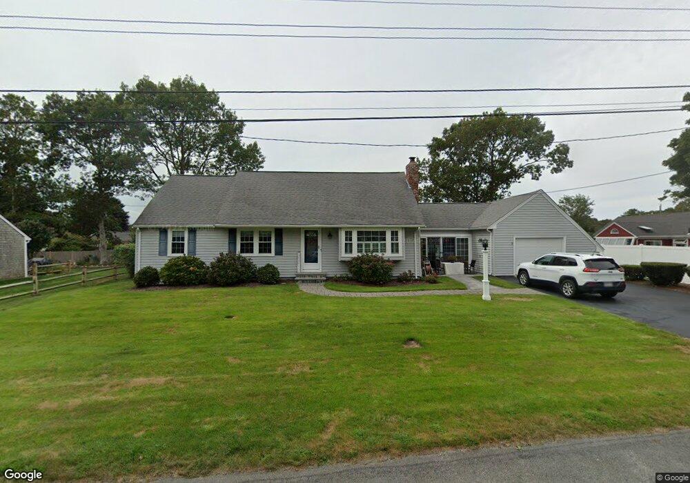
9 Captain Crocker Rd South Yarmouth, MA 02664
Estimated Value: $546,000 - $637,000
3
Beds
2
Baths
1,170
Sq Ft
$510/Sq Ft
Est. Value
About This Home
This home is located at 9 Captain Crocker Rd, South Yarmouth, MA 02664 and is currently estimated at $596,411, approximately $509 per square foot. 9 Captain Crocker Rd is a home located in Barnstable County with nearby schools including Dennis-Yarmouth Regional High School and St. Pius X. School.
Ownership History
Date
Name
Owned For
Owner Type
Purchase Details
Closed on
Mar 17, 1995
Sold by
Est Johnson Gotha D and Hakansson Kjell
Bought by
Spitz Gerald F and Spitz Linda D
Current Estimated Value
Home Financials for this Owner
Home Financials are based on the most recent Mortgage that was taken out on this home.
Original Mortgage
$78,000
Interest Rate
8.89%
Mortgage Type
Purchase Money Mortgage
Create a Home Valuation Report for This Property
The Home Valuation Report is an in-depth analysis detailing your home's value as well as a comparison with similar homes in the area
Home Values in the Area
Average Home Value in this Area
Purchase History
| Date | Buyer | Sale Price | Title Company |
|---|---|---|---|
| Spitz Gerald F | $97,500 | -- |
Source: Public Records
Mortgage History
| Date | Status | Borrower | Loan Amount |
|---|---|---|---|
| Open | Spitz Gerald F | $200,000 | |
| Closed | Spitz Gerald F | $117,400 | |
| Closed | Spitz Gerald F | $100,000 | |
| Closed | Spitz Gerald F | $78,000 |
Source: Public Records
Tax History Compared to Growth
Tax History
| Year | Tax Paid | Tax Assessment Tax Assessment Total Assessment is a certain percentage of the fair market value that is determined by local assessors to be the total taxable value of land and additions on the property. | Land | Improvement |
|---|---|---|---|---|
| 2025 | $4,003 | $565,400 | $179,300 | $386,100 |
| 2024 | $3,673 | $497,700 | $151,600 | $346,100 |
| 2023 | $3,623 | $446,700 | $131,200 | $315,500 |
| 2022 | $3,277 | $357,000 | $119,300 | $237,700 |
| 2021 | $3,220 | $336,800 | $119,300 | $217,500 |
| 2020 | $3,103 | $310,300 | $119,300 | $191,000 |
| 2019 | $2,875 | $284,700 | $119,300 | $165,400 |
| 2018 | $2,747 | $267,000 | $101,600 | $165,400 |
| 2017 | $2,631 | $262,600 | $97,200 | $165,400 |
| 2016 | $2,532 | $253,700 | $88,300 | $165,400 |
| 2015 | $2,526 | $251,600 | $88,300 | $163,300 |
Source: Public Records
Map
Nearby Homes
- 75 Captain York Rd
- 76 Captain Chase Rd
- 147 Captain Bacon Rd
- 338 Forest Rd
- 72 Quartermaster Row
- 255 Long Pond Dr
- 38 Autumn Dr
- 33 Sparrow Way
- 55 Lower Brook Rd
- 30 Quartermaster Row
- 0 Forsyth Ave
- 24 Fast Brook Rd
- 9 Victory Ln
- 105 Webbers Path
- 3 Saturn Ln
- 17 Merganser Ln
- 4 Raymond Ave
- 22 Powhatan Rd
- 7 Sunset Pines Rd
- 15 Captain Crocker Rd
- 53 Captain Lothrop Rd
- 8 Captain Daniel Rd
- 9 Capt Crocker
- 14 Captain Daniel Rd
- 8 Captain Crocker Rd
- 2 Captain Daniel Rd
- 14 Capt Daniel Rd
- 14 Captain Crocker Rd
- 14 Capt Crocker Rd
- 45 Captain Lothrop Rd
- 53 Capt Lothrop Rd
- 19 Captain Crocker Rd
- 50 Capt Lothrop Rd
- 18 Captain Daniel Rd
- 56 Capt Lothrop Rd
- 20 Captain Crocker Rd
- 20 Capt Crocker Rd
- 50 Captain Lothrop Rd
- 9 Captain Noyes Rd