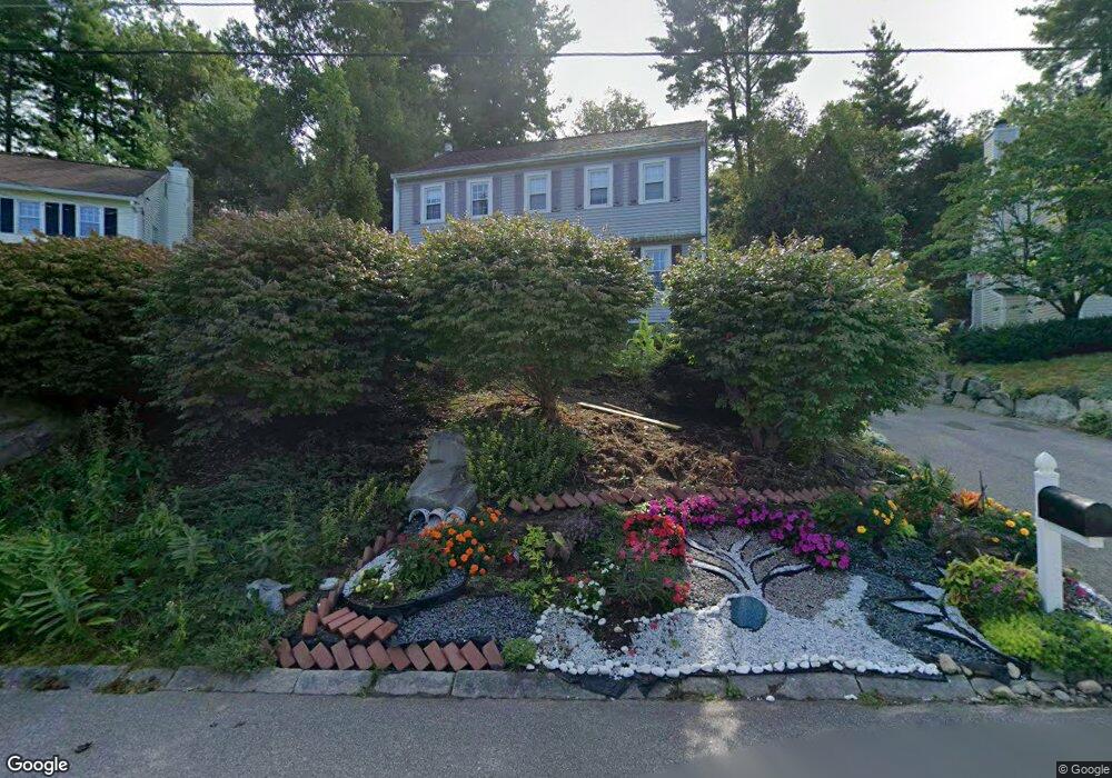
9 Carson Cir Nashua, NH 03062
West Hollis NeighborhoodEstimated Value: $552,721 - $575,000
3
Beds
3
Baths
1,666
Sq Ft
$336/Sq Ft
Est. Value
About This Home
This home is located at 9 Carson Cir, Nashua, NH 03062 and is currently estimated at $559,930, approximately $336 per square foot. 9 Carson Cir is a home located in Hillsborough County with nearby schools including Ledge Street Elementary School, Elm Street Middle School, and Nashua High School South.
Ownership History
Date
Name
Owned For
Owner Type
Purchase Details
Closed on
Jun 2, 2005
Sold by
Rao Ajay and Rao Sarala
Bought by
Isleib Warren and Isleib Brenda
Current Estimated Value
Home Financials for this Owner
Home Financials are based on the most recent Mortgage that was taken out on this home.
Original Mortgage
$133,000
Interest Rate
5.83%
Mortgage Type
Purchase Money Mortgage
Purchase Details
Closed on
Jul 17, 2000
Sold by
Spencer Christopher D and Spencer Amy M
Bought by
Rao Ajay and Rao Sarala
Purchase Details
Closed on
Jun 2, 1997
Sold by
Burbee Thomas W
Bought by
Spencer Christopher D and Spencer Amy M
Create a Home Valuation Report for This Property
The Home Valuation Report is an in-depth analysis detailing your home's value as well as a comparison with similar homes in the area
Home Values in the Area
Average Home Value in this Area
Purchase History
| Date | Buyer | Sale Price | Title Company |
|---|---|---|---|
| Isleib Warren | $313,000 | -- | |
| Rao Ajay | $184,000 | -- | |
| Spencer Christopher D | $137,000 | -- |
Source: Public Records
Mortgage History
| Date | Status | Borrower | Loan Amount |
|---|---|---|---|
| Open | Spencer Christopher D | $197,500 | |
| Closed | Spencer Christopher D | $50,000 | |
| Closed | Spencer Christopher D | $25,000 | |
| Closed | Spencer Christopher D | $133,000 |
Source: Public Records
Tax History
| Year | Tax Paid | Tax Assessment Tax Assessment Total Assessment is a certain percentage of the fair market value that is determined by local assessors to be the total taxable value of land and additions on the property. | Land | Improvement |
|---|---|---|---|---|
| 2025 | $7,823 | $464,800 | $156,900 | $307,900 |
| 2024 | $7,390 | $464,800 | $156,900 | $307,900 |
| 2023 | $7,040 | $386,200 | $125,600 | $260,600 |
| 2022 | $6,979 | $386,200 | $125,600 | $260,600 |
| 2021 | $6,406 | $275,900 | $87,900 | $188,000 |
| 2020 | $6,238 | $275,900 | $87,900 | $188,000 |
| 2019 | $6,004 | $275,900 | $87,900 | $188,000 |
| 2018 | $5,852 | $275,900 | $87,900 | $188,000 |
| 2017 | $6,277 | $243,400 | $68,200 | $175,200 |
| 2016 | $6,102 | $243,400 | $68,200 | $175,200 |
| 2015 | $5,971 | $243,400 | $68,200 | $175,200 |
| 2014 | $5,854 | $243,400 | $68,200 | $175,200 |
Source: Public Records
Map
Nearby Homes
- 30 Spring Cove Rd Unit U112
- 23 Spring Cove Rd Unit U152
- 36 Silverton Dr Unit U85
- 668 W Hollis St
- 47 Dogwood Dr Unit U202
- 45 Dogwood Dr Unit U208
- 5 Lowther Place Unit U6
- 4 Burlington Rd
- 9 Leslie Ln
- 21 Parkhurst Dr
- 17 Twilight Dr
- 8 Althea Ln Unit U26
- 14 Millbrook Dr
- 103 Saranac Dr
- 4 Lee Ann St
- 4 Kittery Dr
- 40 Hollow Ridge Dr
- 247 Main Dunstable Rd
- 16 Champagne Dr Unit U31
- 2 Henry David Dr Unit 207
Your Personal Tour Guide
Ask me questions while you tour the home.