9 Cedar Crest Ln Scituate, MA 02066
Estimated Value: $961,306 - $1,045,000
4
Beds
2
Baths
2,018
Sq Ft
$502/Sq Ft
Est. Value
About This Home
This home is located at 9 Cedar Crest Ln, Scituate, MA 02066 and is currently estimated at $1,013,577, approximately $502 per square foot. 9 Cedar Crest Ln is a home located in Plymouth County with nearby schools including Jenkins Elementary School, Lester J. Gates Middle School, and Scituate High School.
Ownership History
Date
Name
Owned For
Owner Type
Purchase Details
Closed on
Jul 30, 2024
Sold by
Adducci Robert J and Adducci Julie A
Bought by
Adduci Nicole R
Current Estimated Value
Create a Home Valuation Report for This Property
The Home Valuation Report is an in-depth analysis detailing your home's value as well as a comparison with similar homes in the area
Home Values in the Area
Average Home Value in this Area
Purchase History
| Date | Buyer | Sale Price | Title Company |
|---|---|---|---|
| Adduci Nicole R | -- | None Available | |
| Adduci Nicole R | -- | None Available |
Source: Public Records
Tax History Compared to Growth
Tax History
| Year | Tax Paid | Tax Assessment Tax Assessment Total Assessment is a certain percentage of the fair market value that is determined by local assessors to be the total taxable value of land and additions on the property. | Land | Improvement |
|---|---|---|---|---|
| 2025 | $8,393 | $840,100 | $520,400 | $319,700 |
| 2024 | $8,149 | $786,600 | $473,100 | $313,500 |
| 2023 | $7,096 | $709,500 | $430,500 | $279,000 |
| 2022 | $7,096 | $562,300 | $328,400 | $233,900 |
| 2021 | $6,852 | $514,000 | $312,800 | $201,200 |
| 2020 | $6,649 | $492,500 | $300,700 | $191,800 |
| 2019 | $6,943 | $505,300 | $324,300 | $181,000 |
| 2018 | $7,059 | $506,000 | $341,100 | $164,900 |
| 2017 | $6,786 | $481,600 | $316,700 | $164,900 |
| 2016 | $6,294 | $445,100 | $280,200 | $164,900 |
| 2015 | $5,671 | $432,900 | $268,000 | $164,900 |
Source: Public Records
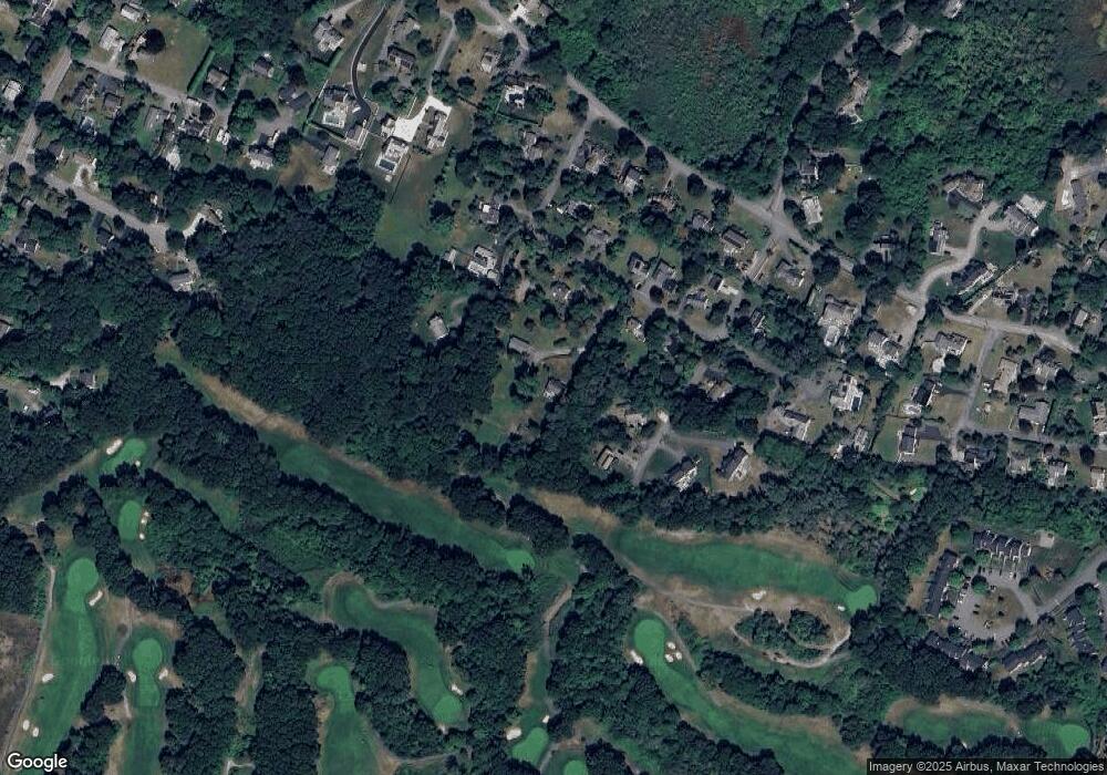
Map
Nearby Homes
- 59 Greenfield Ln
- 67 Greenfield Ln
- 12 Meeting House Ln Unit 308
- 50 First Parish Rd
- 29 Ladds Way Unit 29
- 76 A Brook St
- 76 A Brook St Unit 1
- 91 Front St Unit 106
- 2 Collier Rd
- 19 Ford Place Unit 3
- 19 Ford Place Unit 1
- 19 Ford Place Unit 4
- 37 Moorland Rd
- 48 Moorland Rd
- 74 Tilden Rd
- 12 Sassamon Rd
- 146 Chief Justice Cushing Hwy
- 17 Old Oaken Bucket Rd
- 23 Sunset Rd
- 111 Elm St
- 11 Cedar Crest Ln
- 28 Torreys Ln
- 32 Torreys Ln
- 15 Cedar Crest Ln
- 7 Cedar Crest Ln
- 0 Torreys La - Lot 1 Unit 71392022
- 3 Cedar Crest Ln
- 21 Cedar Hill Ln
- 0 Torreys Ln (Rear) Unit 70618501
- 2 Torrey's Ln
- 0 Torreys Ln
- LOT 9 Arrowwood
- 25 Torreys Ln
- 0 Torrey's La - Lot 1 Unit 71313099
- 0 Torreys La - Lot 2 Unit 71313089
- Lot 1 Torreys La
- 10 Cedar Crest Ln
- 23 Cedar Hill Ln
- 14 Cedar Crest Ln
- 21 Torreys Ln